51 Stang St Shavertown, PA 18708
Estimated Value: $210,459 - $251,000
3
Beds
1
Bath
1,300
Sq Ft
$178/Sq Ft
Est. Value
About This Home
This home is located at 51 Stang St, Shavertown, PA 18708 and is currently estimated at $230,865, approximately $177 per square foot. 51 Stang St is a home located in Luzerne County with nearby schools including Dallas Senior High School and Cornerstone Christian Academy.
Ownership History
Date
Name
Owned For
Owner Type
Purchase Details
Closed on
Nov 4, 2013
Sold by
Gosart James E and Gosart Alan W
Bought by
Sabetta Jason M
Current Estimated Value
Home Financials for this Owner
Home Financials are based on the most recent Mortgage that was taken out on this home.
Original Mortgage
$104,500
Outstanding Balance
$77,652
Interest Rate
4.14%
Mortgage Type
New Conventional
Estimated Equity
$153,213
Purchase Details
Closed on
Nov 16, 2012
Sold by
Minkoff Leo
Bought by
Gosart James E
Create a Home Valuation Report for This Property
The Home Valuation Report is an in-depth analysis detailing your home's value as well as a comparison with similar homes in the area
Home Values in the Area
Average Home Value in this Area
Purchase History
| Date | Buyer | Sale Price | Title Company |
|---|---|---|---|
| Sabetta Jason M | $110,000 | None Available | |
| Gosart James E | -- | None Available |
Source: Public Records
Mortgage History
| Date | Status | Borrower | Loan Amount |
|---|---|---|---|
| Open | Sabetta Jason M | $104,500 |
Source: Public Records
Tax History Compared to Growth
Tax History
| Year | Tax Paid | Tax Assessment Tax Assessment Total Assessment is a certain percentage of the fair market value that is determined by local assessors to be the total taxable value of land and additions on the property. | Land | Improvement |
|---|---|---|---|---|
| 2025 | $2,220 | $102,500 | $22,400 | $80,100 |
| 2024 | $2,151 | $102,500 | $22,400 | $80,100 |
| 2023 | $2,151 | $102,500 | $22,400 | $80,100 |
| 2022 | $2,132 | $102,500 | $22,400 | $80,100 |
| 2021 | $2,132 | $102,500 | $22,400 | $80,100 |
| 2020 | $2,132 | $102,500 | $22,400 | $80,100 |
| 2019 | $2,112 | $102,500 | $22,400 | $80,100 |
| 2018 | $2,092 | $102,500 | $22,400 | $80,100 |
| 2017 | $2,062 | $102,500 | $22,400 | $80,100 |
| 2016 | -- | $102,500 | $22,400 | $80,100 |
| 2015 | $1,657 | $102,500 | $22,400 | $80,100 |
| 2014 | $1,657 | $102,500 | $22,400 | $80,100 |
Source: Public Records
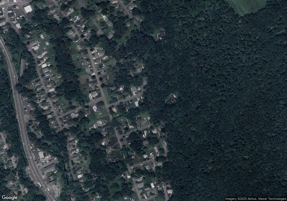
Map
Nearby Homes
- 70 Shaver Ave
- 3 N Pioneer Ave
- Lot # 4 Pioneer Ave
- 59 Zinn St
- 98 Davis St
- 318 Echo Valley Dr
- 175 N Pioneer Ave
- 205 Beech St
- 7 Echo Valley Dr
- 7 Orchard St
- 65 E Overbrook Rd
- 65 E Overbrook Ave
- 945 Lantern Hill Rd
- 162 E Overbrook Rd
- 235 E Center St
- 1021 Lower Demunds Rd
- 0 Main St
- 242 Maple St
- 249 Cliffside Ave
- 747 Greens