51 Stonewall Cir Westmoreland, NH 03467
Estimated Value: $656,000 - $1,726,000
4
Beds
5
Baths
5,286
Sq Ft
$215/Sq Ft
Est. Value
About This Home
This home is located at 51 Stonewall Cir, Westmoreland, NH 03467 and is currently estimated at $1,136,818, approximately $215 per square foot. 51 Stonewall Cir is a home located in Cheshire County with nearby schools including Keene High School.
Ownership History
Date
Name
Owned For
Owner Type
Purchase Details
Closed on
Apr 1, 1999
Sold by
Accord Larry G and Accord Louise M
Bought by
Wright Ellen M
Current Estimated Value
Home Financials for this Owner
Home Financials are based on the most recent Mortgage that was taken out on this home.
Original Mortgage
$268,000
Outstanding Balance
$66,396
Interest Rate
6.78%
Estimated Equity
$1,070,422
Purchase Details
Closed on
Dec 2, 1997
Sold by
Burghoff Robert L and Burghoff Bethany P
Bought by
Acord Larry G and Acord Louise M
Home Financials for this Owner
Home Financials are based on the most recent Mortgage that was taken out on this home.
Original Mortgage
$681,000
Interest Rate
7.26%
Create a Home Valuation Report for This Property
The Home Valuation Report is an in-depth analysis detailing your home's value as well as a comparison with similar homes in the area
Home Values in the Area
Average Home Value in this Area
Purchase History
| Date | Buyer | Sale Price | Title Company |
|---|---|---|---|
| Wright Ellen M | $433,000 | -- | |
| Acord Larry G | $398,000 | -- |
Source: Public Records
Mortgage History
| Date | Status | Borrower | Loan Amount |
|---|---|---|---|
| Open | Acord Larry G | $268,000 | |
| Previous Owner | Acord Larry G | $681,000 |
Source: Public Records
Tax History Compared to Growth
Tax History
| Year | Tax Paid | Tax Assessment Tax Assessment Total Assessment is a certain percentage of the fair market value that is determined by local assessors to be the total taxable value of land and additions on the property. | Land | Improvement |
|---|---|---|---|---|
| 2024 | $14,138 | $613,100 | $133,800 | $479,300 |
| 2023 | $13,053 | $613,100 | $133,800 | $479,300 |
| 2022 | $12,599 | $613,100 | $133,800 | $479,300 |
| 2021 | $12,507 | $613,100 | $133,800 | $479,300 |
| 2020 | $14,450 | $568,900 | $112,600 | $456,300 |
| 2019 | $15,275 | $568,900 | $112,600 | $456,300 |
| 2018 | $14,496 | $568,900 | $112,600 | $456,300 |
| 2017 | $14,223 | $568,900 | $112,600 | $456,300 |
| 2016 | $14,126 | $568,900 | $112,600 | $456,300 |
| 2015 | $13,295 | $609,600 | $118,200 | $491,400 |
| 2014 | $13,277 | $609,600 | $118,200 | $491,400 |
| 2012 | $12,881 | $609,600 | $118,200 | $491,400 |
Source: Public Records
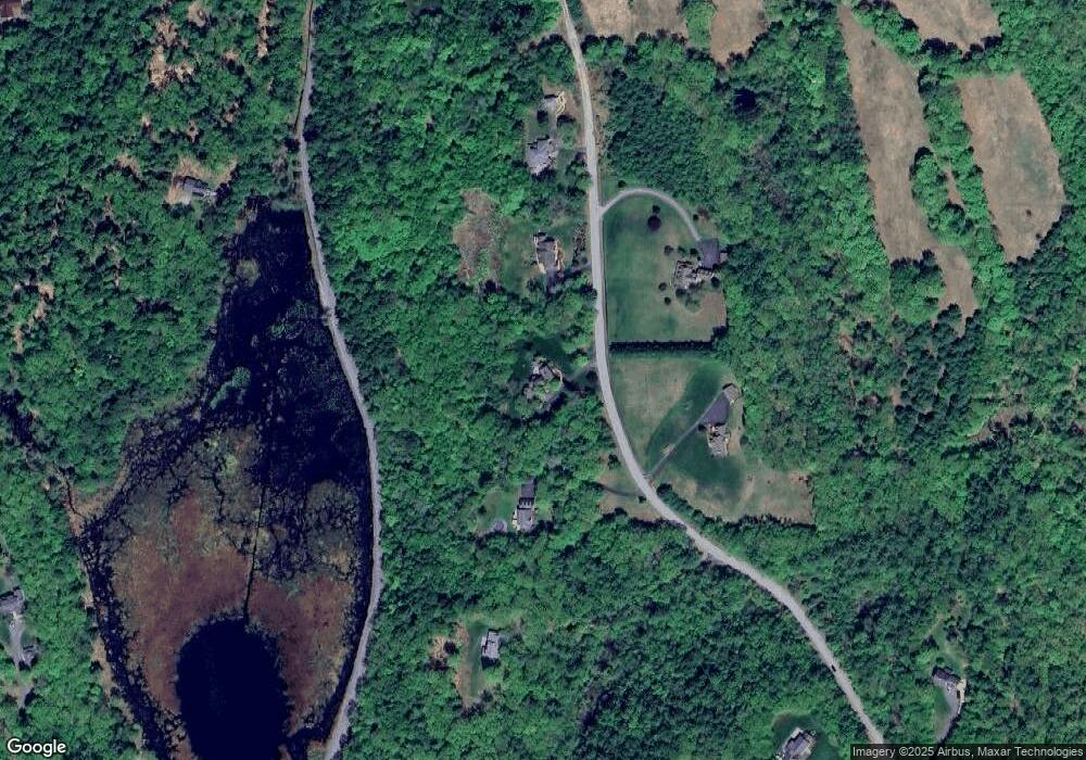
Map
Nearby Homes
- 15 Mulligan Right of Way
- 21 Valley Park Dr
- 18 Very Mill Rd
- 462 Spofford Rd
- 180 Valley Park Dr
- 168 Arch St
- 36 Canal St
- 81 Summit Ridge Dr
- 10 Sugar Maple Ln Unit 10
- 38 Stonehouse Ln Unit A
- 000 S Village Rd Unit 13
- 14 Hurricane Rd
- 32a Stonehouse Ln
- 110 Arch St Unit 27
- 101 Arch St
- 2 Glebe Rd
- 0 Route 63 Unit 5055409
- 17 Leahy Rd
- 90A Bradford Rd
- 90 Bradford Rd
- 63 Stonewall Cir
- 35 Stonewall Cir
- 36 Stonewall Cir
- 60 Stonewall Cir
- 67 Stonewall Cir
- 23 Stonewall Cir
- 788 Glebe Rd
- 17 Adams Rd
- 69 Carriage Ln
- 75 Carriage Ln
- 53 Carriage Ln
- 192 Stonewall Cir
- 766 Glebe Rd
- 0 Stonewall Cir Unit 4955321
- 0 Stonewall Cir Unit 17
- 25 Adam's Rd
- 25 Adams Rd
- 42 Mulligan Right of Way
- 66 Carriage Ln
- 0 Stonewall Circle 17