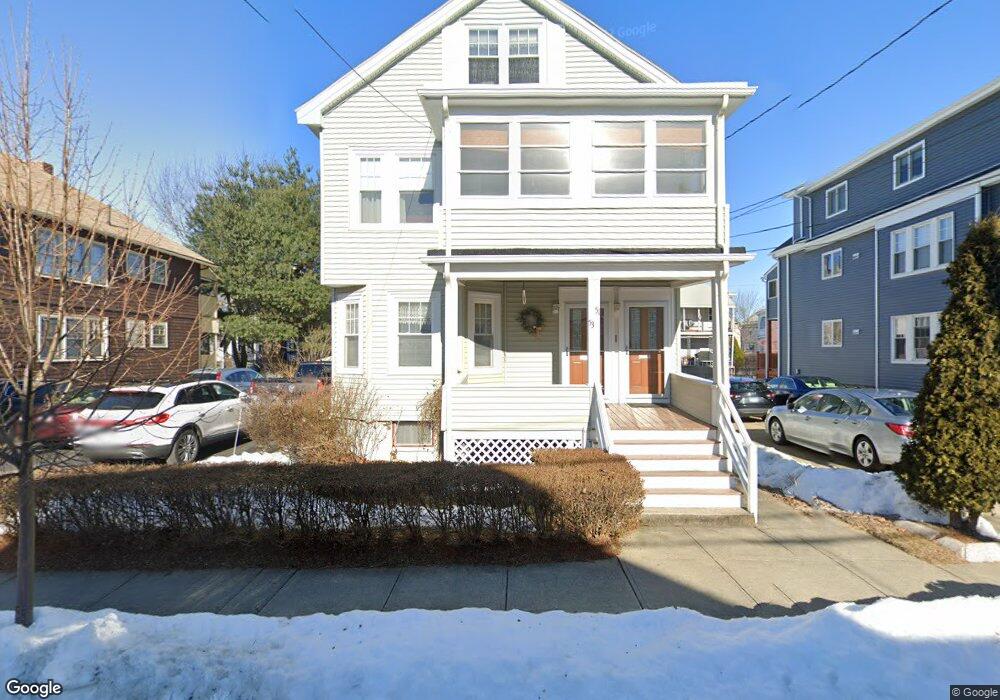
51 Varnum St Unit 53 Arlington, MA 02474
East Arlington NeighborhoodEstimated Value: $1,194,000 - $1,316,000
5
Beds
3
Baths
2,450
Sq Ft
$517/Sq Ft
Est. Value
About This Home
This home is located at 51 Varnum St Unit 53, Arlington, MA 02474 and is currently estimated at $1,265,760, approximately $516 per square foot. 51 Varnum St Unit 53 is a home located in Middlesex County with nearby schools including Hardy Elementary School, Ottoson Middle School, and Arlington High School.
Ownership History
Date
Name
Owned For
Owner Type
Purchase Details
Closed on
Sep 2, 2010
Sold by
Oconnor Robert P and Oconnor Elaine M
Bought by
Oconnor Tr Robert P and Oconnor Elaine M
Current Estimated Value
Purchase Details
Closed on
Oct 20, 1969
Bought by
51 Varnum St Rt
Create a Home Valuation Report for This Property
The Home Valuation Report is an in-depth analysis detailing your home's value as well as a comparison with similar homes in the area
Home Values in the Area
Average Home Value in this Area
Purchase History
| Date | Buyer | Sale Price | Title Company |
|---|---|---|---|
| Oconnor Tr Robert P | -- | -- | |
| 51 Varnum St Rt | $32,300 | -- |
Source: Public Records
Mortgage History
| Date | Status | Borrower | Loan Amount |
|---|---|---|---|
| Previous Owner | 51 Varnum St Rt | $112,500 | |
| Previous Owner | 51 Varnum St Rt | $65,000 | |
| Previous Owner | 51 Varnum St Rt | $65,000 |
Source: Public Records
Tax History Compared to Growth
Tax History
| Year | Tax Paid | Tax Assessment Tax Assessment Total Assessment is a certain percentage of the fair market value that is determined by local assessors to be the total taxable value of land and additions on the property. | Land | Improvement |
|---|---|---|---|---|
| 2025 | $11,698 | $1,086,200 | $591,200 | $495,000 |
| 2024 | $10,807 | $1,020,500 | $562,800 | $457,700 |
| 2023 | $10,789 | $962,400 | $471,900 | $490,500 |
| 2022 | $10,746 | $941,000 | $454,800 | $486,200 |
| 2021 | $10,424 | $919,200 | $454,800 | $464,400 |
| 2020 | $10,170 | $919,500 | $454,800 | $464,700 |
| 2019 | $9,499 | $843,600 | $483,200 | $360,400 |
| 2018 | $8,647 | $712,900 | $352,500 | $360,400 |
| 2017 | $7,836 | $623,900 | $307,000 | $316,900 |
| 2016 | $7,404 | $578,400 | $261,500 | $316,900 |
| 2015 | $7,298 | $538,600 | $255,800 | $282,800 |
Source: Public Records
Map
Nearby Homes
- 128 Thorndike St Unit 2
- 137-139 Thorndike St Unit 2
- 3 Seagrave Rd
- 215 Massachusetts Ave Unit 19 (34)
- 230 Massachusetts Ave Unit 6
- 23 Brookford St
- 23 Brookford St Unit 2
- 23 Brookford St Unit 1
- 31 Mott St Unit 31A
- 22 Hamilton Rd Unit 206
- 19 Cottage Park Ave
- 57 Garrison Ave
- 127 Harvey St
- 127 Harvey St Unit 127
- 112 Jackson St
- 34 Hamilton Rd Unit 302
- 18 Belknap St Unit 2
- 18 Belknap St Unit 1
- 97 Elmwood St Unit 313
- 97 Elmwood St Unit 110
- 55 Varnum St Unit 57
- 55 Varnum St Unit 2
- 47 Varnum St Unit 49
- 52 Milton St Unit 54
- 46 Milton St Unit 48
- 56 Milton St Unit 58
- 59 Varnum St Unit 61
- 41 Varnum St Unit 43
- 48 Milton St
- 48 Milton St Unit 2
- 54 Varnum St Unit 1
- 52 Varnum St Unit 54
- 56 Varnum St Unit 58
- 42 Milton St Unit 44
- 60 Milton St Unit 62
- 46 Varnum St Unit 48
- 46-48 Varnum St
- 60 Varnum St Unit 62
- 63 Varnum St Unit 65
- 39 Varnum St