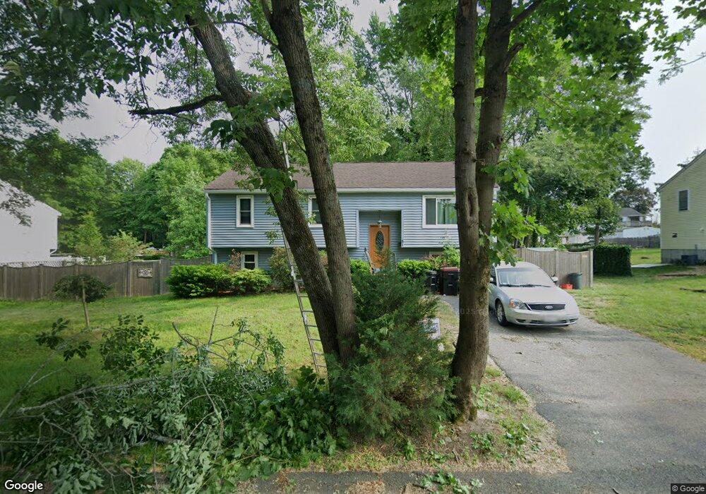
51 Watson St Brockton, MA 02301
Campello NeighborhoodEstimated Value: $520,000 - $560,573
3
Beds
1
Bath
1,658
Sq Ft
$325/Sq Ft
Est. Value
About This Home
This home is located at 51 Watson St, Brockton, MA 02301 and is currently estimated at $539,143, approximately $325 per square foot. 51 Watson St is a home located in Plymouth County with nearby schools including Gilmore Elementary School, Davis K-8 School, and John F. Kennedy Elementary School.
Ownership History
Date
Name
Owned For
Owner Type
Purchase Details
Closed on
Aug 20, 2008
Sold by
Shaw Brian F
Bought by
Shaw Brian F and Shaw Melissa L
Current Estimated Value
Purchase Details
Closed on
Aug 26, 1998
Sold by
Cab Rt
Bought by
Shaw Brian F
Home Financials for this Owner
Home Financials are based on the most recent Mortgage that was taken out on this home.
Original Mortgage
$108,640
Interest Rate
6.9%
Mortgage Type
Purchase Money Mortgage
Create a Home Valuation Report for This Property
The Home Valuation Report is an in-depth analysis detailing your home's value as well as a comparison with similar homes in the area
Home Values in the Area
Average Home Value in this Area
Purchase History
| Date | Buyer | Sale Price | Title Company |
|---|---|---|---|
| Shaw Brian F | -- | -- | |
| Shaw Brian F | $112,000 | -- |
Source: Public Records
Mortgage History
| Date | Status | Borrower | Loan Amount |
|---|---|---|---|
| Previous Owner | Shaw Brian F | $108,640 |
Source: Public Records
Tax History Compared to Growth
Tax History
| Year | Tax Paid | Tax Assessment Tax Assessment Total Assessment is a certain percentage of the fair market value that is determined by local assessors to be the total taxable value of land and additions on the property. | Land | Improvement |
|---|---|---|---|---|
| 2025 | $6,389 | $527,600 | $141,300 | $386,300 |
| 2024 | $6,018 | $500,700 | $141,300 | $359,400 |
| 2023 | $5,810 | $447,600 | $110,400 | $337,200 |
| 2022 | $5,272 | $377,400 | $100,500 | $276,900 |
| 2021 | $13,507 | $346,500 | $84,800 | $261,700 |
| 2020 | $4,813 | $317,700 | $78,100 | $239,600 |
| 2019 | $4,662 | $300,000 | $75,800 | $224,200 |
| 2018 | $4,608 | $286,900 | $75,800 | $211,100 |
| 2017 | $3,975 | $246,900 | $75,800 | $171,100 |
| 2016 | $4,097 | $236,000 | $73,900 | $162,100 |
| 2015 | $4,035 | $222,300 | $73,900 | $148,400 |
| 2014 | $3,766 | $207,700 | $73,900 | $133,800 |
Source: Public Records
Map
Nearby Homes
- 15 Otto St
- 40 Glen Ave
- 163 S Leyden St
- 60 Clifton Ave
- 29 Glendale Ave
- 1845 Main St
- 358 Copeland St
- 223 Clinton St Unit 10
- 223 Clinton St Unit 3
- 47 Southworth St
- 115 Market St
- 44 Country Club Dr
- 13 Finny's Way
- 94 Carl Ave
- 34 Carl Ave
- 112 Hillside Ave
- 15 Fieldstone Dr
- 12 Paulin Ave
- 221 Sinclair Rd
- 24 Ithica Rd