51 Westwood Dr Lincoln, NH 03251
Estimated Value: $1,478,000 - $2,293,000
4
Beds
4
Baths
3,652
Sq Ft
$542/Sq Ft
Est. Value
About This Home
This home is located at 51 Westwood Dr, Lincoln, NH 03251 and is currently estimated at $1,979,573, approximately $542 per square foot. 51 Westwood Dr is a home with nearby schools including Lin-Wood Public Elementary School.
Ownership History
Date
Name
Owned For
Owner Type
Purchase Details
Closed on
Feb 1, 2023
Sold by
Michaud Kenneth A and Michaud Gale M
Bought by
51 Westwood Drive Rt
Current Estimated Value
Purchase Details
Closed on
Sep 23, 2010
Sold by
Michaud Patricia C
Bought by
Michaud Kenneth A and Michaud Gale M
Home Financials for this Owner
Home Financials are based on the most recent Mortgage that was taken out on this home.
Original Mortgage
$396,000
Interest Rate
4.48%
Mortgage Type
Purchase Money Mortgage
Purchase Details
Closed on
Sep 30, 2009
Sold by
Pmi Realty Llc
Bought by
Michaud Kenneth A and Michaud Gale M
Create a Home Valuation Report for This Property
The Home Valuation Report is an in-depth analysis detailing your home's value as well as a comparison with similar homes in the area
Home Values in the Area
Average Home Value in this Area
Purchase History
| Date | Buyer | Sale Price | Title Company |
|---|---|---|---|
| 51 Westwood Drive Rt | -- | None Available | |
| Michaud Kenneth A | $500,000 | -- | |
| Michaud Kenneth A | $145,000 | -- |
Source: Public Records
Mortgage History
| Date | Status | Borrower | Loan Amount |
|---|---|---|---|
| Previous Owner | Michaud Kenneth A | $396,000 |
Source: Public Records
Tax History Compared to Growth
Tax History
| Year | Tax Paid | Tax Assessment Tax Assessment Total Assessment is a certain percentage of the fair market value that is determined by local assessors to be the total taxable value of land and additions on the property. | Land | Improvement |
|---|---|---|---|---|
| 2024 | $14,661 | $1,255,200 | $796,500 | $458,700 |
| 2023 | $14,661 | $1,255,200 | $796,500 | $458,700 |
| 2022 | $13,242 | $1,255,200 | $796,500 | $458,700 |
| 2021 | $13,230 | $1,255,200 | $796,500 | $458,700 |
| 2018 | $11,402 | $805,200 | $392,100 | $413,100 |
| 2016 | $10,621 | $805,200 | $392,100 | $413,100 |
| 2015 | $9,550 | $693,000 | $320,100 | $372,900 |
| 2014 | $9,563 | $693,000 | $320,100 | $372,900 |
| 2009 | $6,348 | $696,780 | $315,320 | $381,460 |
Source: Public Records
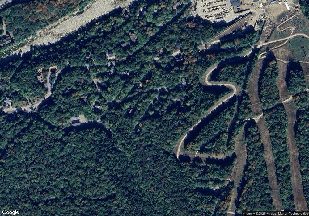
Map
Nearby Homes
- 79 Flume Rd
- 57 W Branch Rd Unit 7
- 90 Loon Mountain Rd Unit 1021D
- 90 Loon Mountain Rd Unit 1307C
- 90 Loon Mountain Rd Unit 1034C
- 90 Loon Mountain Rd Unit 1165 A-D
- 90 Loon Mountain Rd Unit 1205B
- 90 Loon Mountain Rd Unit 1303D
- 90 Loon Mountain Rd Unit 1053A
- 90 Loon Mountain Rd Unit 1161C
- 90 Loon Mountain Rd Unit 1325D
- 90 Loon Mountain Rd Unit 1126C
- 90 Loon Mountain Rd Unit 861D
- 90 Loon Mountain Rd Unit 1021A
- 90 Loon Mountain Rd Unit 1109A
- 90 Loon Mountain Rd Unit 1338A
- 90 Loon Mountain Rd Unit 1054C
- 90 Loon Mountain Rd Unit 858D
- 90 Loon Mountain Rd Unit 1058B
- 90 Loon Mountain Rd Unit 1301 A
- 34 Westwood Dr
- 41 Westwood Dr
- 53 Westwood Dr
- 21 Westwood Dr
- 37 Westwood Dr
- 24 Governors Ln
- 15 Sarsaparilla Ct
- 28 Governors Ln
- 14 Westwood Dr
- 28 Governor's Ln
- 5 Westwood Dr
- 10 Sasparilla
- 7 Sarsaparilla Ct
- 25 Governors Ln
- 12 Westwood Dr
- 33 Governors Ln
- 86 Loon Brook Rd
- 90 Loon Brook Rd
- 4 Big Stone Rd
- 82 Loon Brook Rd