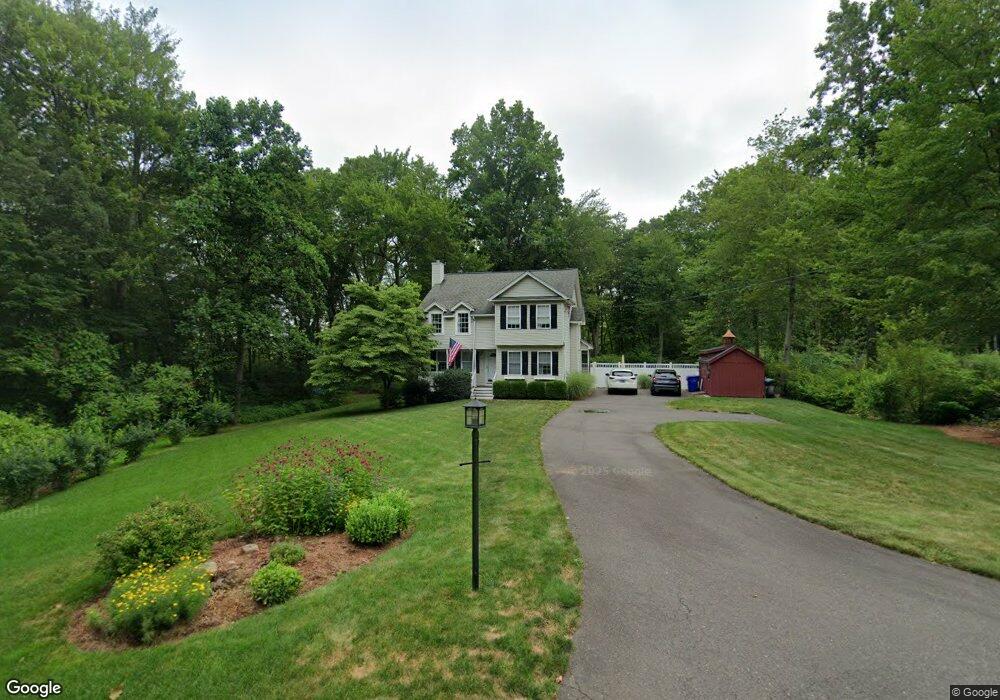
510 Bridge St Suffield, CT 06078
Estimated Value: $462,000 - $503,000
3
Beds
3
Baths
1,738
Sq Ft
$276/Sq Ft
Est. Value
About This Home
This home is located at 510 Bridge St, Suffield, CT 06078 and is currently estimated at $480,474, approximately $276 per square foot. 510 Bridge St is a home located in Hartford County with nearby schools including A. Ward Spaulding School, Mcalister Intermediate School, and Suffield Middle School.
Ownership History
Date
Name
Owned For
Owner Type
Purchase Details
Closed on
May 1, 2000
Sold by
Thompson Michael and Thompson September
Bought by
Bicknell Brian and Bicknell Patricia
Current Estimated Value
Home Financials for this Owner
Home Financials are based on the most recent Mortgage that was taken out on this home.
Original Mortgage
$115,000
Interest Rate
7.63%
Purchase Details
Closed on
Jul 17, 1998
Sold by
Builders Trademark
Bought by
Thompson Michael and Merritt September
Home Financials for this Owner
Home Financials are based on the most recent Mortgage that was taken out on this home.
Original Mortgage
$160,075
Interest Rate
6.98%
Mortgage Type
Unknown
Create a Home Valuation Report for This Property
The Home Valuation Report is an in-depth analysis detailing your home's value as well as a comparison with similar homes in the area
Home Values in the Area
Average Home Value in this Area
Purchase History
| Date | Buyer | Sale Price | Title Company |
|---|---|---|---|
| Bicknell Brian | $195,000 | -- | |
| Thompson Michael | $168,500 | -- |
Source: Public Records
Mortgage History
| Date | Status | Borrower | Loan Amount |
|---|---|---|---|
| Closed | Thompson Michael | $158,750 | |
| Closed | Thompson Michael | $186,150 | |
| Closed | Thompson Michael | $115,000 | |
| Previous Owner | Thompson Michael | $160,075 |
Source: Public Records
Tax History
| Year | Tax Paid | Tax Assessment Tax Assessment Total Assessment is a certain percentage of the fair market value that is determined by local assessors to be the total taxable value of land and additions on the property. | Land | Improvement |
|---|---|---|---|---|
| 2025 | $6,360 | $271,670 | $57,260 | $214,410 |
| 2024 | $6,148 | $271,670 | $57,260 | $214,410 |
| 2023 | $5,121 | $178,990 | $57,260 | $121,730 |
| 2022 | $5,121 | $178,990 | $57,260 | $121,730 |
| 2021 | $5,104 | $178,220 | $57,260 | $120,960 |
| 2020 | $5,104 | $178,220 | $57,260 | $120,960 |
| 2019 | $5,118 | $178,220 | $57,260 | $120,960 |
| 2018 | $5,178 | $176,610 | $54,810 | $121,800 |
| 2017 | $5,102 | $176,610 | $54,810 | $121,800 |
| 2016 | $4,980 | $176,610 | $54,810 | $121,800 |
| 2015 | $4,906 | $176,610 | $54,810 | $121,800 |
| 2014 | $4,790 | $176,610 | $54,810 | $121,800 |
Source: Public Records
Map
Nearby Homes
- 424 Bridge St
- 713 Thrall Ave
- 779 Bridge St
- 392 Boston Neck Rd
- 0 Stone St S Unit 24039713
- 4 Pebblestone Cir
- 98 1st St
- 3 Pebblestone Cir Unit 3
- 610 East St S
- 24 Pebblestone Cir Unit 24
- 687 East St S
- 660 East St S
- 0 Suffield St Unit 24093452
- 0 Suffield St Unit 24057050
- 1 E Elaine Dr
- 278 Thompsonville Rd
- 147 W Grayling Ln
- 18 Daniel Cir Unit 18
- 2 Pearl Street Extension
- 45 Douglas St
- 530 Bridge St
- 484 Bridge St
- 546 Bridge St
- 500 Thrall Ave
- 500 Loomis Rd
- 570 Bridge St
- 470 Bridge St
- Lot A Bridge St
- 481 Thrall Ave
- 535 Thrall Ave
- 634 Bridge St
- 459 Thrall Ave
- 475 Thrall Ave
- 561 Thrall Ave
- 575 Thrall Ave
- 441 Thrall Ave
- 636 Bridge St
- 427 Thrall Ave
- 424 Bridge St Unit Lower Unit
- 639 Bridge St
Your Personal Tour Guide
Ask me questions while you tour the home.