Estimated Value: $339,000 - $433,000
--
Bed
2
Baths
1,644
Sq Ft
$227/Sq Ft
Est. Value
About This Home
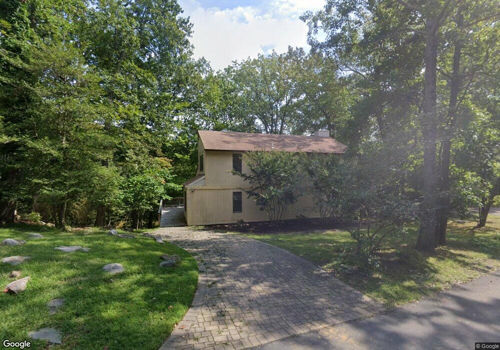
This home is located at 510 Comstock Dr, Lusby, MD 20657 and is currently estimated at $373,074, approximately $226 per square foot. 510 Comstock Dr is a home located in Calvert County with nearby schools including Dowell Elementary School, Mill Creek Middle School, and Patuxent High School.
Ownership History
Date
Name
Owned For
Owner Type
Purchase Details
Closed on
May 9, 1989
Sold by
Rilen Colonial Joint Venture
Bought by
Pankey David H and Pankey Irene F
Current Estimated Value
Home Financials for this Owner
Home Financials are based on the most recent Mortgage that was taken out on this home.
Original Mortgage
$142,600
Interest Rate
10.97%
Purchase Details
Closed on
Jul 27, 1988
Sold by
Brian Robert M and Brian Katherine L
Bought by
Rilen Colonial Joint Venture
Purchase Details
Closed on
May 9, 1988
Sold by
Ashbacher Vernon L and Ashbacher Allie M
Bought by
Brian Robert M and Brian Katherine L
Create a Home Valuation Report for This Property
The Home Valuation Report is an in-depth analysis detailing your home's value as well as a comparison with similar homes in the area
Home Values in the Area
Average Home Value in this Area
Purchase History
| Date | Buyer | Sale Price | Title Company |
|---|---|---|---|
| Pankey David H | $158,500 | -- | |
| Rilen Colonial Joint Venture | $15,000 | -- | |
| Brian Robert M | $9,000 | -- |
Source: Public Records
Mortgage History
| Date | Status | Borrower | Loan Amount |
|---|---|---|---|
| Closed | Pankey David H | $142,600 |
Source: Public Records
Tax History Compared to Growth
Tax History
| Year | Tax Paid | Tax Assessment Tax Assessment Total Assessment is a certain percentage of the fair market value that is determined by local assessors to be the total taxable value of land and additions on the property. | Land | Improvement |
|---|---|---|---|---|
| 2025 | $3,005 | $259,867 | $0 | $0 |
| 2024 | $3,005 | $238,433 | $0 | $0 |
| 2023 | $2,255 | $217,000 | $59,500 | $157,500 |
| 2022 | $2,191 | $210,900 | $0 | $0 |
| 2021 | $2,617 | $204,800 | $0 | $0 |
| 2020 | $2,810 | $198,700 | $59,500 | $139,200 |
| 2019 | $2,393 | $197,200 | $0 | $0 |
| 2018 | $2,641 | $195,700 | $0 | $0 |
| 2017 | $2,247 | $194,200 | $0 | $0 |
| 2016 | -- | $194,200 | $0 | $0 |
| 2015 | -- | $194,200 | $0 | $0 |
| 2014 | -- | $196,600 | $0 | $0 |
Source: Public Records
Map
Nearby Homes
- 12759 Tonkawa Trail
- 12667 Amarillo Dr
- 12728 Cordova Ct
- 356 Clubhouse Dr
- 12805 Bay Dr
- 1076 San Angelo Dr
- 12817 Abilene Trail
- 425 Rodeo Rd
- 428 Buffalo Rd
- 454 Dogwood Dr
- 1049 Golden Way W
- 484 Lake Dr
- 12921 Pine Ln
- 460 Deer Ln
- 12501 San Jose Ct
- 463 Bronco Trail
- 256 Frontier Trail
- 12959 Pine Ln
- 12742 Mill Creek Dr
- 219 Calvert Dr
- 508 Comstock Dr
- 519 Comstock Dr
- 515 Comstock Dr
- 507 Comstock Dr
- 526 Comstock Dr
- 503 Comstock Dr
- 523 Comstock Dr
- 504 Comstock Dr
- 499 Comstock Dr
- 527 Comstock Dr
- 525 San Antonio Dr
- 490 Comstock Dr
- 513 San Antonio Dr
- 491 Comstock Dr
- 501 San Antonio Dr
- 529 San Antonio Dr
- 488 Comstock Dr
- 497 San Antonio Dr
- 484 Comstock Dr
- 526 San Antonio Dr