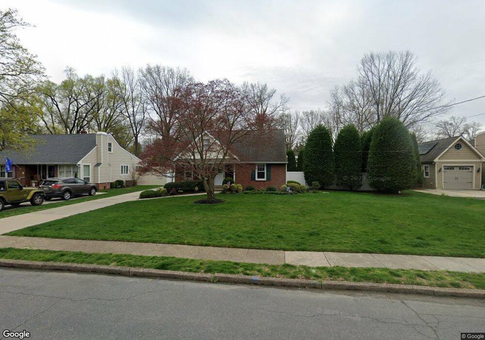
510 Devon Rd Moorestown, NJ 08057
Estimated Value: $534,203 - $656,000
Studio
--
Bath
2,129
Sq Ft
$282/Sq Ft
Est. Value
About This Home
This home is located at 510 Devon Rd, Moorestown, NJ 08057 and is currently estimated at $601,301, approximately $282 per square foot. 510 Devon Rd is a home located in Burlington County with nearby schools including George C. Baker Elementary School, Moorestown Upper Elementary School, and William Allen Middle School.
Ownership History
Date
Name
Owned For
Owner Type
Purchase Details
Closed on
Aug 14, 1998
Sold by
Schneider Jeffrey C and Schneider Mary Jo
Bought by
Schneider Jeffrey C and Schneider Mary Jo
Current Estimated Value
Purchase Details
Closed on
Nov 8, 1996
Sold by
Wilkinson Robert G and Wilkinson Dolores H
Bought by
Schneider Jeffrey C and Schneider Mary Jo
Create a Home Valuation Report for This Property
The Home Valuation Report is an in-depth analysis detailing your home's value as well as a comparison with similar homes in the area
Home Values in the Area
Average Home Value in this Area
Purchase History
| Date | Buyer | Sale Price | Title Company |
|---|---|---|---|
| Schneider Jeffrey C | -- | Precision Title Agency Inc | |
| Schneider Jeffrey C | $124,500 | United Title & Abstract Agen |
Source: Public Records
Tax History
| Year | Tax Paid | Tax Assessment Tax Assessment Total Assessment is a certain percentage of the fair market value that is determined by local assessors to be the total taxable value of land and additions on the property. | Land | Improvement |
|---|---|---|---|---|
| 2025 | $8,151 | $287,300 | $123,700 | $163,600 |
| 2024 | $7,904 | $287,300 | $123,700 | $163,600 |
| 2023 | $7,904 | $287,300 | $123,700 | $163,600 |
| 2022 | $7,823 | $287,300 | $123,700 | $163,600 |
| 2021 | $7,720 | $287,300 | $123,700 | $163,600 |
| 2020 | $7,671 | $287,300 | $123,700 | $163,600 |
| 2019 | $7,536 | $287,300 | $123,700 | $163,600 |
| 2018 | $7,332 | $287,300 | $123,700 | $163,600 |
| 2017 | $7,395 | $287,300 | $123,700 | $163,600 |
| 2016 | $7,369 | $287,300 | $123,700 | $163,600 |
| 2015 | $7,280 | $287,300 | $123,700 | $163,600 |
| 2014 | $6,912 | $287,300 | $123,700 | $163,600 |
Source: Public Records
Map
Nearby Homes
- 401 W 3rd St
- 307 Fairview Ave
- 601 Stratford Dr
- 444 Shady Ln
- 543 Bethel Ave
- 206 E Camden Ave
- 3 Overbrook Cir
- 93 Westbrook Dr
- 705 Iron Post Rd
- 52 Westbrook Dr
- 9 N Lenola Rd
- 21 N Lenola Rd
- 11 Errickson Ave
- 126 S Lenola Rd
- 117 W Central Ave
- 419 Edgemoor Dr
- 10 E Close Unit 10EAST
- 129 S Church St
- 242 Center St
- 8 S Close Unit 8
- 512 Devon Rd
- 508 Devon Rd
- 523 Covington Terrace
- 519 Covington Terrace
- 514 Devon Rd
- 506 Devon Rd
- 527 Covington Terrace
- 515 Covington Terrace
- 511 Devon Rd
- 513 Devon Rd
- 509 Devon Rd
- 517 Devon Rd
- 504 Devon Rd
- 515 Devon Rd
- 516 Devon Rd
- 507 Devon Rd
- 511 Covington Terrace
- 502 Devon Rd
- 505 Devon Rd
- 535 Covington Terrace
Your Personal Tour Guide
Ask me questions while you tour the home.