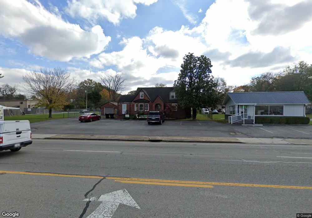
510 E Carroll St Tullahoma, TN 37388
Estimated Value: $318,000 - $420,000
--
Bed
3
Baths
3,191
Sq Ft
$116/Sq Ft
Est. Value
About This Home
This home is located at 510 E Carroll St, Tullahoma, TN 37388 and is currently estimated at $368,599, approximately $115 per square foot. 510 E Carroll St is a home located in Coffee County with nearby schools including Tullahoma High School, Tullahoma Christian Academy, and Highland Rim Christian Academy.
Ownership History
Date
Name
Owned For
Owner Type
Purchase Details
Closed on
Apr 19, 2007
Sold by
Austin Linda L and Austin Larry W
Bought by
Brown Susan K
Current Estimated Value
Purchase Details
Closed on
May 15, 2006
Sold by
Petty Juanita M
Bought by
Austin Linda L
Home Financials for this Owner
Home Financials are based on the most recent Mortgage that was taken out on this home.
Original Mortgage
$64,600
Interest Rate
6.41%
Purchase Details
Closed on
Jan 27, 1997
Sold by
Partin Carolyn F
Bought by
Petty Juanita M
Purchase Details
Closed on
Feb 24, 1994
Sold by
Wiederhauser George M
Bought by
Spry Jerry W
Create a Home Valuation Report for This Property
The Home Valuation Report is an in-depth analysis detailing your home's value as well as a comparison with similar homes in the area
Home Values in the Area
Average Home Value in this Area
Purchase History
| Date | Buyer | Sale Price | Title Company |
|---|---|---|---|
| Brown Susan K | $155,000 | -- | |
| Austin Linda L | $84,500 | -- | |
| Petty Juanita M | $77,500 | -- | |
| Spry Jerry W | $5,000 | -- | |
| Partin Carolyn F | $75,000 | -- |
Source: Public Records
Mortgage History
| Date | Status | Borrower | Loan Amount |
|---|---|---|---|
| Previous Owner | Partin Carolyn F | $64,600 |
Source: Public Records
Tax History Compared to Growth
Tax History
| Year | Tax Paid | Tax Assessment Tax Assessment Total Assessment is a certain percentage of the fair market value that is determined by local assessors to be the total taxable value of land and additions on the property. | Land | Improvement |
|---|---|---|---|---|
| 2024 | $3,383 | $86,600 | $27,360 | $59,240 |
| 2023 | $3,383 | $86,600 | $0 | $0 |
| 2022 | $3,471 | $86,600 | $27,360 | $59,240 |
| 2021 | $3,378 | $67,400 | $24,000 | $43,400 |
| 2020 | $3,378 | $67,400 | $24,000 | $43,400 |
| 2019 | $3,378 | $67,400 | $24,000 | $43,400 |
| 2018 | $3,378 | $67,400 | $24,000 | $43,400 |
| 2017 | $3,185 | $58,240 | $24,000 | $34,240 |
| 2016 | $3,186 | $58,240 | $24,000 | $34,240 |
| 2015 | $3,186 | $58,240 | $24,000 | $34,240 |
| 2014 | $3,186 | $58,239 | $0 | $0 |
Source: Public Records
Map
Nearby Homes
- 502 E Monroe St
- 306 S Anderson St
- 506 S Washington St
- 312 Gentry St
- 203 S Maple St
- 112 S Anderson St
- 107 S Polk St
- 500 NE Atlantic St
- 808 E Lincoln St
- 107 Gentry St
- 804 E Grundy St
- 601 E Grundy St Unit B
- 601 E Grundy St Unit D
- 601 E Grundy St Unit C
- 1203 S Washington St
- 821 S Jefferson St
- 1300 S Polk St
- 1304 Old Estill Springs Rd
- 509 E Grizzard St
- 1214 E Lincoln St
- 508 E Carroll St
- 512 E Carroll St
- 509 General St
- 516 E Carroll St
- 507 General St
- 511 General St
- 500 E Carroll St
- 605 Cornish St
- 513 General St
- 505 General St
- 515 General St
- 609 Cornish St
- 507 E Carroll St
- 611 Cornish St
- 600 E Carroll St
- 609 Division St
- 506 General St
- 504 General St
- 512 General St
- 611 Division St