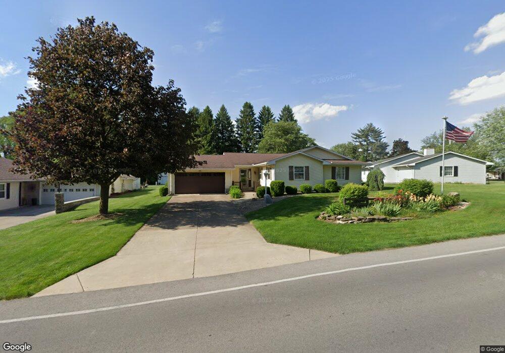
510 E Cole Rd Fremont, OH 43420
Estimated Value: $223,000 - $257,239
3
Beds
3
Baths
1,476
Sq Ft
$159/Sq Ft
Est. Value
About This Home
This home is located at 510 E Cole Rd, Fremont, OH 43420 and is currently estimated at $235,060, approximately $159 per square foot. 510 E Cole Rd is a home located in Sandusky County with nearby schools including Fremont Ross High School, Sacred Heart School, and St. Ann Catholic School.
Ownership History
Date
Name
Owned For
Owner Type
Purchase Details
Closed on
Oct 17, 2011
Sold by
Ripple Family Revocable Living Trust
Bought by
William Ripple Irrevocable Trust
Current Estimated Value
Purchase Details
Closed on
Feb 1, 1989
Sold by
Ripple William F and Ripple Rea
Bought by
Ripple William F & Rea Trustees
Purchase Details
Closed on
Mar 1, 1985
Bought by
Ripple William F & Rea Trustees
Create a Home Valuation Report for This Property
The Home Valuation Report is an in-depth analysis detailing your home's value as well as a comparison with similar homes in the area
Home Values in the Area
Average Home Value in this Area
Purchase History
| Date | Buyer | Sale Price | Title Company |
|---|---|---|---|
| William Ripple Irrevocable Trust | -- | -- | |
| Ripple William | -- | Attorney | |
| Ripple William F & Rea Trustees | $92,100 | -- | |
| Ripple William F & Rea Trustees | $18,900 | -- |
Source: Public Records
Tax History Compared to Growth
Tax History
| Year | Tax Paid | Tax Assessment Tax Assessment Total Assessment is a certain percentage of the fair market value that is determined by local assessors to be the total taxable value of land and additions on the property. | Land | Improvement |
|---|---|---|---|---|
| 2024 | $2,770 | $69,650 | $10,500 | $59,150 |
| 2023 | $2,770 | $48,720 | $7,350 | $41,370 |
| 2022 | $1,659 | $48,720 | $7,350 | $41,370 |
| 2021 | $1,710 | $48,720 | $7,350 | $41,370 |
| 2020 | $1,660 | $46,800 | $7,350 | $39,450 |
| 2019 | $1,658 | $46,800 | $7,350 | $39,450 |
| 2018 | $1,614 | $46,800 | $7,350 | $39,450 |
| 2017 | $1,403 | $41,650 | $7,350 | $34,300 |
| 2016 | $1,230 | $41,650 | $7,350 | $34,300 |
| 2015 | $1,210 | $41,650 | $7,350 | $34,300 |
| 2014 | $1,275 | $41,970 | $7,350 | $34,620 |
| 2013 | $1,248 | $41,970 | $7,350 | $34,620 |
Source: Public Records
Map
Nearby Homes
- 1832 Myrtle St
- 933 E Cole Rd
- 18 Katlyn Dr
- 1818 Finley Dr
- 1970 Morrison Rd
- 350 Conner Dr
- 135 Briarwood Cir
- 41 Brookview Dr
- 64 River Run Dr Unit J
- 10 Meadowbrook Ln
- 10 Meadowbrook Dr
- 1420 Center St
- 43 Sun Valley Dr Unit 43
- 1013 Whittlesey St
- 905 Twinn St
- 625 Bush Place
- 815 South St
- 1485 Autumn Woods Dr
- 1028 June St
- 600 S Buchanan St
- 500 E Cole Rd
- 1758 Morrison Rd
- 1744 Morrison Rd
- 408 E Cole Rd
- 521 E Cole Rd
- 1749 Morrison Rd
- 1736 Morrison Rd
- 535 E Cole Rd
- 1818 Morrison Rd
- 1818 Morrison Rd
- 1813 Morrison Rd
- 407 E Cole Rd
- 400 E Cole Rd
- 607 E Cole Rd
- 1724 Morrison Rd
- 1826 Morrison Rd
- 1821 Morrison Rd
- 650 E Cole Rd
- 6 Linda Dr
- 1722 Morrison Rd