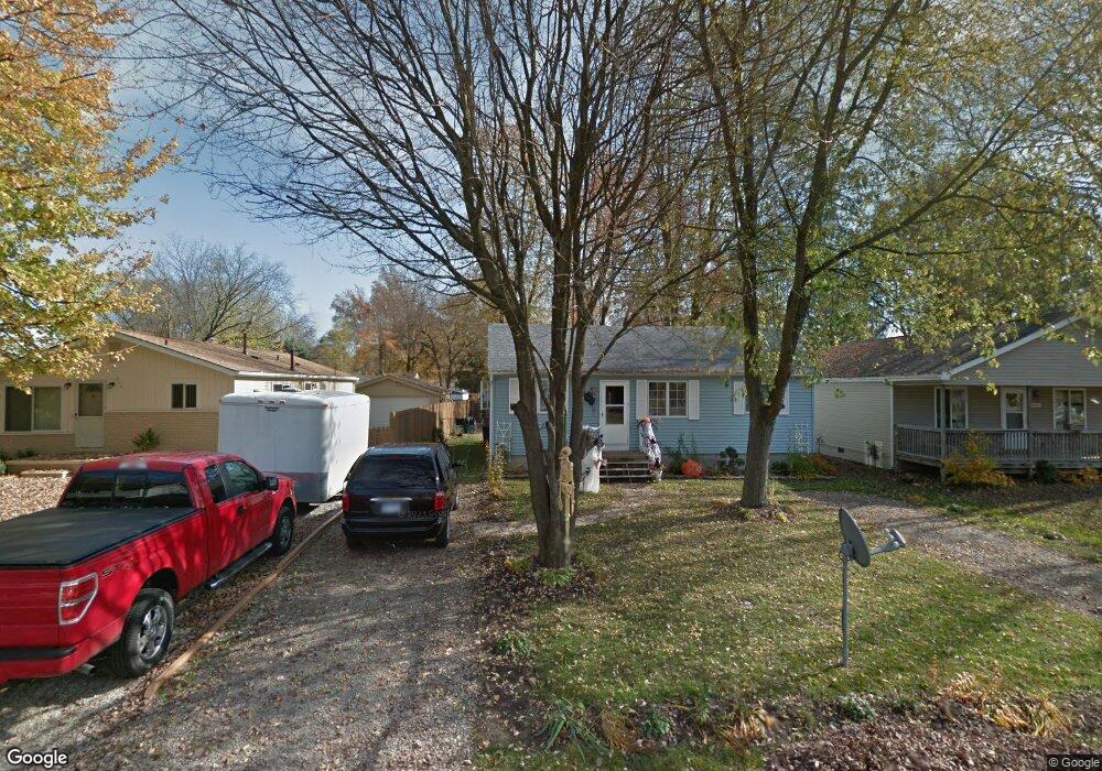
510 Edward St Algonac, MI 48001
Estimated Value: $169,280 - $192,000
3
Beds
1
Bath
984
Sq Ft
$182/Sq Ft
Est. Value
About This Home
This home is located at 510 Edward St, Algonac, MI 48001 and is currently estimated at $178,820, approximately $181 per square foot. 510 Edward St is a home located in St. Clair County with nearby schools including Algonac Junior/Senior High School.
Ownership History
Date
Name
Owned For
Owner Type
Purchase Details
Closed on
Apr 8, 2013
Sold by
White Albert and White Gary A
Bought by
White Susan A
Current Estimated Value
Purchase Details
Closed on
Mar 5, 2009
Sold by
Federal National Mortgage Association
Bought by
White Gary Albert
Purchase Details
Closed on
Nov 7, 2008
Sold by
Citimortgage Inc
Bought by
Federal National Mortgage Association
Purchase Details
Closed on
Nov 6, 2008
Sold by
Mehl Ricky S and Mehl Bonnie L
Bought by
Citimortgage Inc
Create a Home Valuation Report for This Property
The Home Valuation Report is an in-depth analysis detailing your home's value as well as a comparison with similar homes in the area
Home Values in the Area
Average Home Value in this Area
Purchase History
| Date | Buyer | Sale Price | Title Company |
|---|---|---|---|
| White Susan A | -- | None Available | |
| White Gary Albert | $24,000 | Warranty Title Agency Llc | |
| Federal National Mortgage Association | -- | None Available | |
| Citimortgage Inc | $79,418 | None Available |
Source: Public Records
Tax History Compared to Growth
Tax History
| Year | Tax Paid | Tax Assessment Tax Assessment Total Assessment is a certain percentage of the fair market value that is determined by local assessors to be the total taxable value of land and additions on the property. | Land | Improvement |
|---|---|---|---|---|
| 2025 | $1,412 | $76,300 | $0 | $0 |
| 2024 | $1,291 | $73,300 | $0 | $0 |
| 2023 | $1,191 | $63,000 | $0 | $0 |
| 2022 | $1,250 | $54,000 | $0 | $0 |
| 2021 | $1,201 | $47,900 | $0 | $0 |
| 2020 | $1,204 | $43,400 | $5,000 | $38,400 |
| 2019 | $1,190 | $37,100 | $0 | $0 |
| 2018 | $1,170 | $30,500 | $0 | $0 |
| 2016 | $1,028 | $29,400 | $0 | $0 |
| 2015 | -- | $27,900 | $5,000 | $22,900 |
| 2014 | -- | $24,300 | $5,000 | $19,300 |
| 2013 | -- | $24,300 | $0 | $0 |
Source: Public Records
Map
Nearby Homes
- 503 Fassett St
- 140 Kenyon Rd Unit 40
- 685 Townsend Ct
- 632 Pleasant St
- 1003 Smith St
- 328 Heritage Way
- 326 Heritage Way
- 408 Conley St
- 711 Smith St
- 488 Lathrop St
- 618 Green St
- 304 Kama Ct
- 1523 Saint Clair River Dr
- 1600 N Channel Dr
- 00 Dickinson Island
- 1516 Saint Clair River Dr
- 0 Russell Dr Unit 50179629
- 0 N Channel Dr Unit 50172349
- 468 Russell Rd
- 130 Delta Dr
- 508 Edward St
- 514 Edward St
- 507 Fassett St
- 505 Fassett St
- 516 Edward St
- 2198 Worfolk Dr
- 2198 Worfolk Dr
- 509 Fassett St
- 522 Edward St
- 515 Edward St
- 521 Fassett St
- 511 Edward St
- 513 Edward St
- 513 Edward St
- 527 Fassett St
- 521 Edward St
- 0 Edward Unit 4466822
- 0 Edward Unit 31113032
- 528 Edward St
- 539 Fassett St