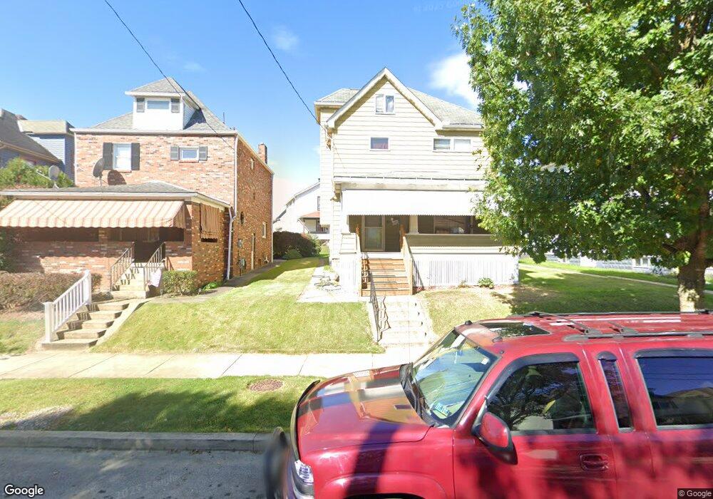
510 Franklin Ave Vandergrift, PA 15690
Estimated Value: $144,000 - $178,000
--
Bed
--
Bath
2,048
Sq Ft
$81/Sq Ft
Est. Value
About This Home
This home is located at 510 Franklin Ave, Vandergrift, PA 15690 and is currently estimated at $166,333, approximately $81 per square foot. 510 Franklin Ave is a home located in Westmoreland County with nearby schools including Kiski Area High School.
Ownership History
Date
Name
Owned For
Owner Type
Purchase Details
Closed on
Dec 4, 2022
Sold by
Poydence Gregory and Poydence Melonie
Bought by
Dongiovanni Nico
Current Estimated Value
Home Financials for this Owner
Home Financials are based on the most recent Mortgage that was taken out on this home.
Original Mortgage
$9,000
Interest Rate
7.08%
Mortgage Type
New Conventional
Create a Home Valuation Report for This Property
The Home Valuation Report is an in-depth analysis detailing your home's value as well as a comparison with similar homes in the area
Home Values in the Area
Average Home Value in this Area
Purchase History
| Date | Buyer | Sale Price | Title Company |
|---|---|---|---|
| Dongiovanni Nico | $173,000 | None Listed On Document |
Source: Public Records
Mortgage History
| Date | Status | Borrower | Loan Amount |
|---|---|---|---|
| Closed | Dongiovanni Nico | $9,000 | |
| Open | Dongiovanni Nico | $144,000 |
Source: Public Records
Tax History Compared to Growth
Tax History
| Year | Tax Paid | Tax Assessment Tax Assessment Total Assessment is a certain percentage of the fair market value that is determined by local assessors to be the total taxable value of land and additions on the property. | Land | Improvement |
|---|---|---|---|---|
| 2025 | $3,146 | $19,280 | $3,220 | $16,060 |
| 2024 | $2,996 | $19,280 | $3,220 | $16,060 |
| 2023 | $2,758 | $19,280 | $3,220 | $16,060 |
| 2022 | $1,355 | $9,670 | $1,610 | $8,060 |
| 2021 | $1,355 | $9,670 | $1,610 | $8,060 |
| 2020 | $1,351 | $9,670 | $1,610 | $8,060 |
| 2019 | $1,347 | $9,670 | $1,610 | $8,060 |
| 2018 | $1,327 | $9,670 | $1,610 | $8,060 |
| 2017 | $1,298 | $9,670 | $1,610 | $8,060 |
| 2016 | $1,281 | $9,670 | $1,610 | $8,060 |
| 2015 | $1,281 | $9,670 | $1,610 | $8,060 |
| 2014 | $1,275 | $9,670 | $1,610 | $8,060 |
Source: Public Records
Map
Nearby Homes
- 105 Longfellow St
- 404 1/2 Franklin Ave
- 716 Kennedy Ave
- 608 Kennedy Ave
- 404 Jackson Ave
- 314 Linden St
- 419 Vandergrift Ln
- 315 Spruce St
- 800 Wallace St
- 311 Elm St
- 323 Sycamore St
- 410 Longfellow St
- 325 -1/2 Quay St
- 314 1/2 Lowell St
- 311 Lowell St
- 431 Longfellow St
- 517 Sycamore St
- 116 Custer Ave
- 439 Longfellow St
- 403 Lowell St
- 510 Franklin Ave
- 512 Franklin Ave
- 508 1/2 Franklin Ave
- 508 Franklin Ave
- 514 Franklin Ave
- 516 Franklin Ave
- 506 Franklin Ave
- 504 Franklin Ave
- 518 Franklin Ave
- 110 E Monroe Ave
- 110 E Monroe Ave
- 511 Hancock Ave
- 513 Hancock Ave
- 513 Hancock Ave Unit A
- 502 Franklin Ave
- 509 Hancock Ave
- 108 E Monroe Ave
- 515 Hancock Ave
- 106 E Monroe Ave
- 507 Hancock Ave