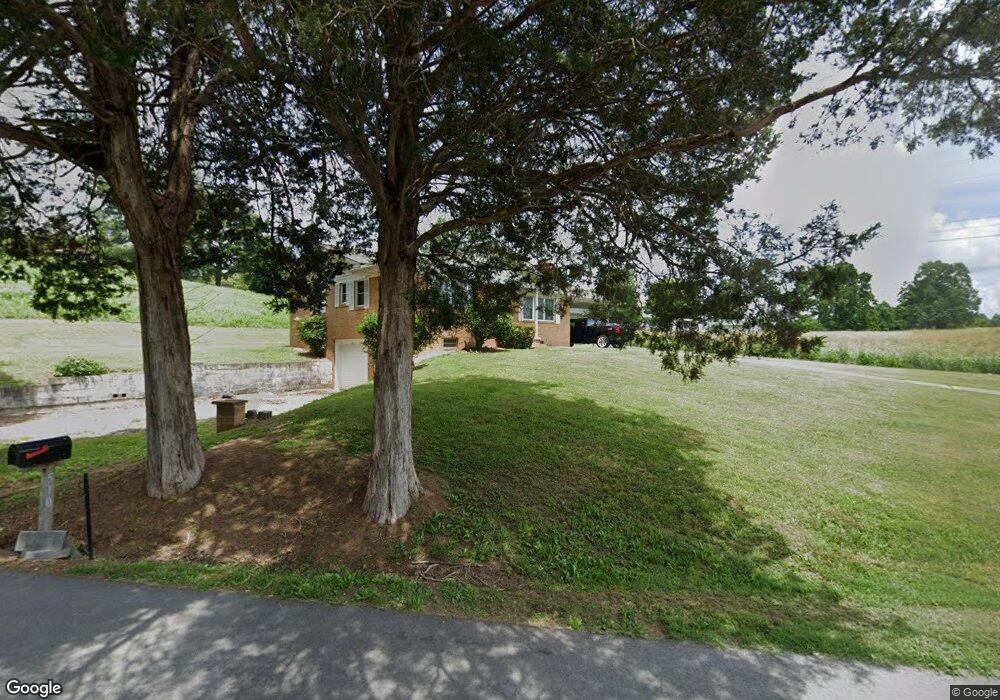
510 Harmon Rd New Tazewell, TN 37825
Estimated Value: $156,000 - $203,000
--
Bed
2
Baths
1,188
Sq Ft
$149/Sq Ft
Est. Value
About This Home
This home is located at 510 Harmon Rd, New Tazewell, TN 37825 and is currently estimated at $176,586, approximately $148 per square foot. 510 Harmon Rd is a home located in Claiborne County with nearby schools including Heriage Christian Academy.
Ownership History
Date
Name
Owned For
Owner Type
Purchase Details
Closed on
Dec 30, 2017
Sold by
Mountain Dion and Mountain Janice
Bought by
App Llc
Current Estimated Value
Purchase Details
Closed on
Nov 23, 2009
Sold by
Sharp Mildred
Bought by
Mountain Dion
Purchase Details
Closed on
Jul 14, 2009
Sold by
Rosson Opal
Bought by
Sharp Mildred
Purchase Details
Closed on
Jul 30, 1998
Sold by
Rosson Billie
Bought by
Johnson Robert
Purchase Details
Closed on
Jan 1, 1955
Bought by
Rosson Billie
Create a Home Valuation Report for This Property
The Home Valuation Report is an in-depth analysis detailing your home's value as well as a comparison with similar homes in the area
Home Values in the Area
Average Home Value in this Area
Purchase History
| Date | Buyer | Sale Price | Title Company |
|---|---|---|---|
| App Llc | -- | None Available | |
| Mountain Dion | $62,233 | -- | |
| Sharp Mildred | -- | -- | |
| Johnson Robert | $115,000 | -- | |
| Rosson Billie | -- | -- |
Source: Public Records
Tax History Compared to Growth
Tax History
| Year | Tax Paid | Tax Assessment Tax Assessment Total Assessment is a certain percentage of the fair market value that is determined by local assessors to be the total taxable value of land and additions on the property. | Land | Improvement |
|---|---|---|---|---|
| 2024 | $728 | $31,100 | $3,200 | $27,900 |
| 2023 | $728 | $31,100 | $3,200 | $27,900 |
| 2022 | $622 | $31,100 | $3,200 | $27,900 |
| 2021 | $565 | $21,900 | $2,825 | $19,075 |
| 2020 | $565 | $21,900 | $2,825 | $19,075 |
| 2019 | $565 | $21,900 | $2,825 | $19,075 |
| 2018 | $565 | $21,900 | $2,825 | $19,075 |
| 2017 | $565 | $21,900 | $2,825 | $19,075 |
| 2016 | $579 | $22,425 | $2,825 | $19,600 |
| 2015 | $556 | $22,425 | $2,825 | $19,600 |
| 2014 | $556 | $22,429 | $0 | $0 |
Source: Public Records
Map
Nearby Homes
- 0 Harmon Rd
- 641 Harmon Rd
- 1210 Rowe St
- 170 Mallory Dr
- 352 Rutherford Dr
- 0 Harmon Cir
- 218 Adair Dr
- 137 Adair Dr
- 346 Bailey Dr
- 1087 Harmon Rd
- 0 Cole Hollow Rd
- 196 Poplar Dr
- 115 Red Oak Ln
- 510 S Broad St (Commercial 3 9 Acre)
- 2200 Clouds Rd
- 162 Wilderness Dr
- 402 S Broad St ( 53 Acre)
- 142 Lone Holly Ln
- 204 Lone Holly Ln
- 211 Peanut Ln
- 510 Harmon Rd
- 505 Harmon Rd
- 0 Forest Hills Dr
- 140 Forest Hills Dr
- 515 Harmon Rd
- 154 Forest Hills Dr
- 501 Harmon Rd
- 139 Forest Hills Dr
- 589 Forest Hills Dr
- 601 Harmon Rd
- 139 Forest Hills Dr
- 592 Forest Hills Dr
- 160 Forest Hills Dr
- 415 Harmon Rd
- 145 Forest Hills Dr
- 577 Forest Hills Dr
- 607 Harmon Rd
- 164 Forest Hills Dr
- 405 Harmon Rd
- 157 Forest Hills Dr