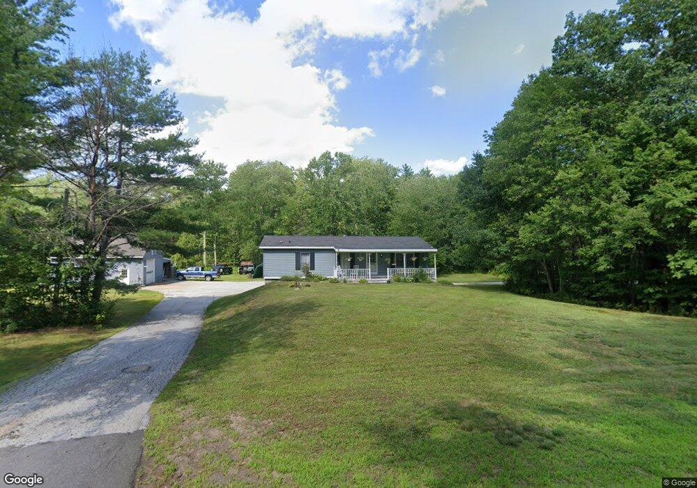
510 Hooksett Rd Auburn, NH 03032
Estimated Value: $443,000 - $472,333
3
Beds
2
Baths
1,605
Sq Ft
$286/Sq Ft
Est. Value
About This Home
This home is located at 510 Hooksett Rd, Auburn, NH 03032 and is currently estimated at $458,833, approximately $285 per square foot. 510 Hooksett Rd is a home located in Rockingham County with nearby schools including Auburn Village School, Pinkerton Academy, and Auburn Montessori School.
Ownership History
Date
Name
Owned For
Owner Type
Purchase Details
Closed on
Apr 30, 2025
Sold by
Blake William E Est and Blake
Bought by
Ranfos Ft and Ranfos
Current Estimated Value
Home Financials for this Owner
Home Financials are based on the most recent Mortgage that was taken out on this home.
Original Mortgage
$103,000
Outstanding Balance
$102,637
Interest Rate
6.67%
Mortgage Type
Purchase Money Mortgage
Estimated Equity
$356,196
Create a Home Valuation Report for This Property
The Home Valuation Report is an in-depth analysis detailing your home's value as well as a comparison with similar homes in the area
Home Values in the Area
Average Home Value in this Area
Purchase History
| Date | Buyer | Sale Price | Title Company |
|---|---|---|---|
| Ranfos Ft | $439,000 | None Available | |
| Ranfos Ft | $439,000 | None Available |
Source: Public Records
Mortgage History
| Date | Status | Borrower | Loan Amount |
|---|---|---|---|
| Open | Ranfos Ft | $103,000 | |
| Closed | Ranfos Ft | $103,000 |
Source: Public Records
Tax History Compared to Growth
Tax History
| Year | Tax Paid | Tax Assessment Tax Assessment Total Assessment is a certain percentage of the fair market value that is determined by local assessors to be the total taxable value of land and additions on the property. | Land | Improvement |
|---|---|---|---|---|
| 2024 | $5,913 | $439,010 | $191,110 | $247,900 |
| 2023 | $5,536 | $439,023 | $191,123 | $247,900 |
| 2022 | $5,413 | $303,264 | $148,864 | $154,400 |
| 2021 | $5,503 | $303,369 | $148,969 | $154,400 |
| 2020 | $5,606 | $303,374 | $148,974 | $154,400 |
| 2019 | $5,708 | $303,444 | $149,044 | $154,400 |
| 2018 | $5,056 | $301,132 | $149,032 | $152,100 |
| 2017 | $4,692 | $251,809 | $144,909 | $106,900 |
| 2016 | $5,087 | $251,815 | $144,915 | $106,900 |
| 2015 | $5,214 | $251,770 | $144,870 | $106,900 |
| 2014 | $5,365 | $251,770 | $144,870 | $106,900 |
| 2013 | $4,908 | $250,547 | $163,447 | $87,100 |
Source: Public Records
Map
Nearby Homes
- 52 the Cliffs at Evergreen Dr
- 55 the Cliffs at Evergreen Cliffside Dr Unit 55
- 47 the Cliffs at Evergreen Cliffside Dr Unit 47
- 22 Sunrise Cir
- 14 Overlook Cir
- 100 Dartmouth Dr Unit Lot 8
- 80 Dartmouth Dr Unit 9
- 49 the Cliffs at Evergreen Cliffside Dr Unit 49
- 58 the Cliffs at Evergreen Dr Unit 58
- 28 the Cliffs at Evergreen Cliffside Dr
- 39 the Cliffs at Evergreen Cliffside Dr Unit 39
- 53 the Cliffs at Evergreen Cliffside Dr Unit 53
- 56 the Cliffs at Evergreen Dr
- 63 the Cliffs at Evergreen Hemlock Dr Unit 63
- 51 the Cliffs at Evergreen Cliffside Dr Unit 51
- 69 Heather Cir
- 6 Gailor Ln
- 135 Brookview Dr
- 62 Hooksett Rd
- 13 Johns Dr
- 524 Hooksett Rd
- 514 Hooksett Rd
- 531 Hooksett Rd
- 508 Hooksett Rd
- 3 Sunrise Cir
- 7 Sunrise Cir
- 513 Hooksett Rd
- 548 Hooksett Rd
- 500 Hooksett Rd
- 507 Hooksett Rd
- 563 Hooksett Rd
- 63 Star Cir
- 560 Hooksett Rd
- 488 Hooksett Rd
- 573 Hooksett Rd
- 493 Hooksett Rd
- 53 Star Cir
- 46 Star Cir
- 484 Hooksett Rd
- 581 Hooksett Rd