Estimated Value: $506,204 - $627,000
3
Beds
3
Baths
1,892
Sq Ft
$306/Sq Ft
Est. Value
About This Home
This home is located at 510 Kool Rd, Kelso, WA 98626 and is currently estimated at $578,051, approximately $305 per square foot. 510 Kool Rd is a home with nearby schools including Carrolls Elementary School, Coweeman Middle School, and Kelso High School.
Ownership History
Date
Name
Owned For
Owner Type
Purchase Details
Closed on
Dec 16, 2019
Sold by
Bank Of America National Association
Bought by
Williams Rick and Williams Lori
Current Estimated Value
Purchase Details
Closed on
May 15, 2019
Sold by
Sowell Angela R
Bought by
Williams Rick and Williams Lori
Purchase Details
Closed on
Feb 28, 2012
Sold by
Cook Leland L and Sowell Angela R
Bought by
Williams Rick L and Williams Lori L
Purchase Details
Closed on
Aug 18, 2010
Sold by
Federal National Mortgage Association
Bought by
Countrywide Home Loans Servicing Lp
Create a Home Valuation Report for This Property
The Home Valuation Report is an in-depth analysis detailing your home's value as well as a comparison with similar homes in the area
Home Values in the Area
Average Home Value in this Area
Purchase History
| Date | Buyer | Sale Price | Title Company |
|---|---|---|---|
| Williams Rick | -- | None Available | |
| Williams Rick | -- | None Available | |
| Williams Rick L | -- | None Available | |
| Countrywide Home Loans Servicing Lp | -- | Accommodation |
Source: Public Records
Tax History Compared to Growth
Tax History
| Year | Tax Paid | Tax Assessment Tax Assessment Total Assessment is a certain percentage of the fair market value that is determined by local assessors to be the total taxable value of land and additions on the property. | Land | Improvement |
|---|---|---|---|---|
| 2024 | $4,527 | $447,120 | $74,300 | $372,820 |
| 2023 | $4,517 | $455,230 | $70,760 | $384,470 |
| 2022 | $4,449 | $405,140 | $67,390 | $337,750 |
| 2021 | $4,207 | $408,030 | $62,870 | $345,160 |
| 2020 | $5,449 | $357,360 | $64,860 | $292,500 |
| 2019 | $5,437 | $466,936 | $73,867 | $393,069 |
| 2018 | $5,345 | $444,690 | $73,870 | $370,820 |
| 2017 | $4,607 | $398,150 | $70,350 | $327,800 |
| 2016 | $6,052 | $343,420 | $70,350 | $273,070 |
| 2015 | $6,032 | $458,980 | $67,950 | $391,030 |
| 2013 | -- | $419,470 | $61,780 | $357,690 |
Source: Public Records
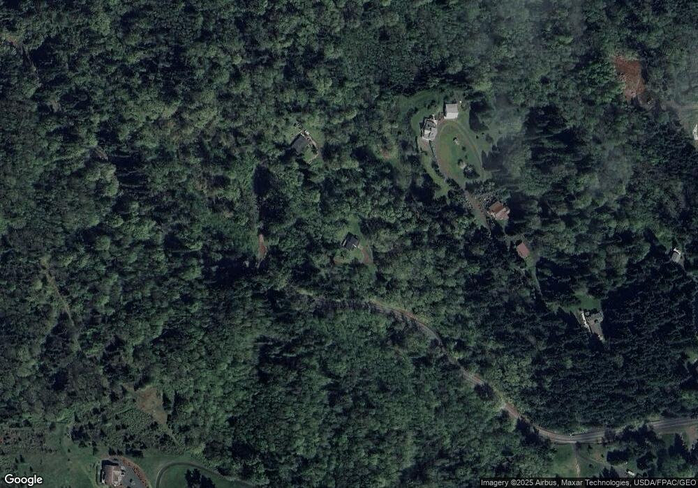
Map
Nearby Homes
- 201 Pin Creek Ln
- 205 Divide Rd
- 3651 Old Pacific Hwy S
- 810 Kool Rd
- 306 Cornwell Rd
- 103 Carrolls Ave
- 160 Isaacson Dr
- 3414 Old Pacific Hwy S
- 622 Mount Pleasant Rd
- 373 Fishpond Rd
- 181 Hope Ln
- 60 Trenton Ln
- 244 Risley Rd Unit C
- 1712 Mount Pleasant Rd
- 1333 Mount Pleasant Rd
- 1899 Mount Pleasant Rd
- 4260 Old Pacific Hwy S
- 4300 Old Pacific Hwy S
- 409 Cunningham Rd
- 0 XX Mount Pleasant Rd