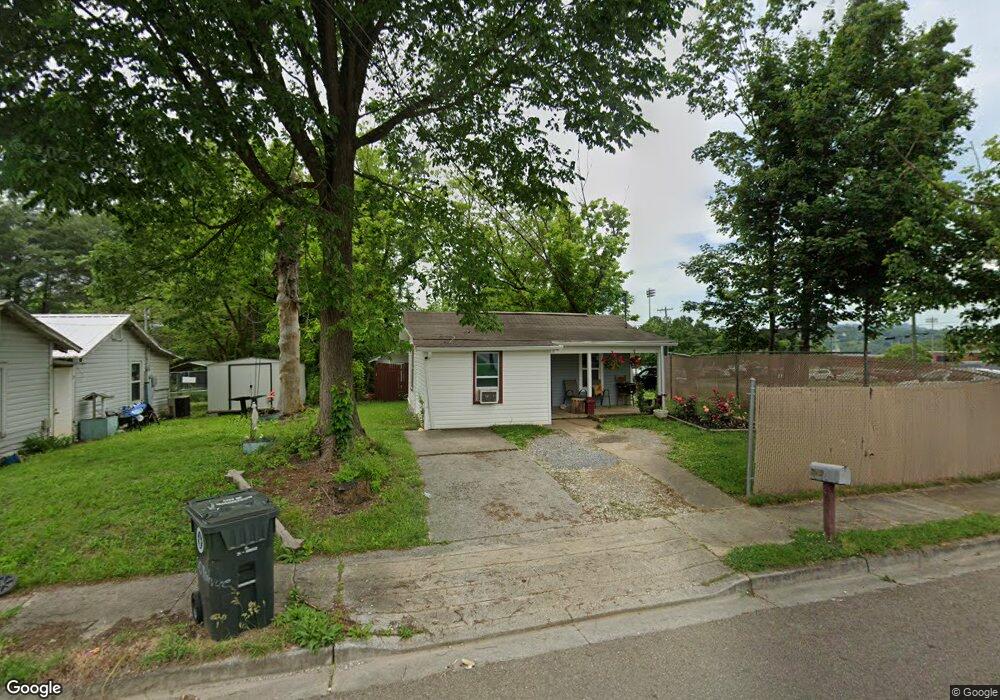
510 Montvue Ave Morristown, TN 37813
Estimated Value: $91,787 - $184,000
--
Bed
1
Bath
694
Sq Ft
$187/Sq Ft
Est. Value
About This Home
This home is located at 510 Montvue Ave, Morristown, TN 37813 and is currently estimated at $129,947, approximately $187 per square foot. 510 Montvue Ave is a home located in Hamblen County with nearby schools including Hillcrest Elementary School, Meadowview Middle School, and Morristown East High School.
Ownership History
Date
Name
Owned For
Owner Type
Purchase Details
Closed on
Mar 27, 1986
Bought by
Panella John A and Panella Joan
Current Estimated Value
Purchase Details
Closed on
Jan 1, 1984
Bought by
Hurst Steve R and Hurst Carolyn
Purchase Details
Closed on
Dec 7, 1982
Bought by
Hurst Steve R and Hurst Carolyn
Purchase Details
Closed on
Aug 10, 1978
Bought by
Mcbee Martha and Mcbee Henry
Create a Home Valuation Report for This Property
The Home Valuation Report is an in-depth analysis detailing your home's value as well as a comparison with similar homes in the area
Home Values in the Area
Average Home Value in this Area
Purchase History
| Date | Buyer | Sale Price | Title Company |
|---|---|---|---|
| Panella John A | $21,000 | -- | |
| Hurst Steve R | -- | -- | |
| Hurst Steve R | $10,400 | -- | |
| Mcbee Martha | $5,000 | -- |
Source: Public Records
Tax History Compared to Growth
Tax History
| Year | Tax Paid | Tax Assessment Tax Assessment Total Assessment is a certain percentage of the fair market value that is determined by local assessors to be the total taxable value of land and additions on the property. | Land | Improvement |
|---|---|---|---|---|
| 2024 | $185 | $10,525 | $1,450 | $9,075 |
| 2023 | $185 | $10,525 | $0 | $0 |
| 2022 | $318 | $10,075 | $1,450 | $8,625 |
| 2021 | $318 | $10,075 | $1,450 | $8,625 |
| 2020 | $318 | $10,075 | $1,450 | $8,625 |
| 2019 | $240 | $7,075 | $1,850 | $5,225 |
| 2018 | $222 | $7,075 | $1,850 | $5,225 |
| 2017 | $219 | $7,075 | $1,850 | $5,225 |
| 2016 | $210 | $7,075 | $1,850 | $5,225 |
| 2015 | $195 | $7,075 | $1,850 | $5,225 |
| 2014 | -- | $7,075 | $1,850 | $5,225 |
| 2013 | -- | $7,700 | $0 | $0 |
Source: Public Records
Map
Nearby Homes
- 417 Cain Ave
- 712 Williams St
- 219 Inman St
- 915 Forgey Ave
- 435 S Hill St
- 831 Cave St
- 0 S Liberty Hill Rd Unit 703697
- 525 S Liberty Hill Rd
- 926 E Main St
- 518 W Hillcrest Dr
- 721 E 1st St N
- 721 E 1st North St
- 819 Choctaw St
- 0 Joe Hall Rd Unit 703714
- 816 Choctaw St
- 1200 Liberty Hall Dr
- 207 E 2nd St N
- 106 King Ave
- 0 Russell Cir
- 400 E 4th St N
- 612 Inman St
- 514 Montvue Ave
- 602 Inman St
- 520 Montvue Ave
- 501 Montvue Ave
- 540 Inman St
- 526 Montvue Ave
- 515 Montvue Ave
- 607 Inman St
- 437 Montvue Ave
- 521 Montvue Ave
- 532 Inman St
- 711&713 Seymour St
- 711 Seymour St
- 534 Montvue Ave
- 525 Montvue Ave
- 433 Montvue Ave
- 720 Seymour St
- 420 Montvue Ave
- 526 Inman St