510 Polly Rd Pulaski, TN 38478
Estimated Value: $168,000 - $267,000
--
Bed
2
Baths
1,289
Sq Ft
$176/Sq Ft
Est. Value
About This Home
This home is located at 510 Polly Rd, Pulaski, TN 38478 and is currently estimated at $227,317, approximately $176 per square foot. 510 Polly Rd is a home located in Giles County with nearby schools including Elkton Elementary School and Giles County High School.
Ownership History
Date
Name
Owned For
Owner Type
Purchase Details
Closed on
Apr 4, 2003
Sold by
Bryant Robert W
Bought by
Mayes Belinda C
Current Estimated Value
Purchase Details
Closed on
Jul 12, 2002
Bought by
Bryant Robert W and Poling Paul Robert
Purchase Details
Closed on
Dec 7, 2000
Sold by
Norwood David N
Bought by
Yant Kimberly A
Purchase Details
Closed on
Dec 31, 1997
Sold by
Robert Brindley and Robert Belin
Bought by
Norwood David N and Norwood Kimberly
Home Financials for this Owner
Home Financials are based on the most recent Mortgage that was taken out on this home.
Original Mortgage
$67,000
Interest Rate
7.2%
Purchase Details
Closed on
Apr 29, 1997
Bought by
Brindley Robert and Brindley Belinda W
Create a Home Valuation Report for This Property
The Home Valuation Report is an in-depth analysis detailing your home's value as well as a comparison with similar homes in the area
Home Values in the Area
Average Home Value in this Area
Purchase History
| Date | Buyer | Sale Price | Title Company |
|---|---|---|---|
| Mayes Belinda C | $69,500 | -- | |
| Bryant Robert W | $59,900 | -- | |
| Yant Kimberly A | -- | -- | |
| Norwood David N | $67,000 | -- | |
| Brindley Robert | $6,000 | -- |
Source: Public Records
Mortgage History
| Date | Status | Borrower | Loan Amount |
|---|---|---|---|
| Previous Owner | Brindley Robert | $67,000 |
Source: Public Records
Tax History Compared to Growth
Tax History
| Year | Tax Paid | Tax Assessment Tax Assessment Total Assessment is a certain percentage of the fair market value that is determined by local assessors to be the total taxable value of land and additions on the property. | Land | Improvement |
|---|---|---|---|---|
| 2025 | $620 | $31,200 | $0 | $0 |
| 2024 | $620 | $31,200 | $4,950 | $26,250 |
| 2023 | $620 | $31,200 | $4,950 | $26,250 |
| 2022 | $620 | $31,200 | $4,950 | $26,250 |
| 2021 | $601 | $21,275 | $3,850 | $17,425 |
| 2020 | $601 | $21,275 | $3,850 | $17,425 |
| 2019 | $601 | $21,275 | $3,850 | $17,425 |
| 2018 | $601 | $21,275 | $3,850 | $17,425 |
| 2017 | $601 | $21,275 | $3,850 | $17,425 |
| 2016 | $639 | $21,500 | $3,925 | $17,575 |
| 2015 | $596 | $21,500 | $3,925 | $17,575 |
| 2014 | $599 | $21,628 | $0 | $0 |
Source: Public Records
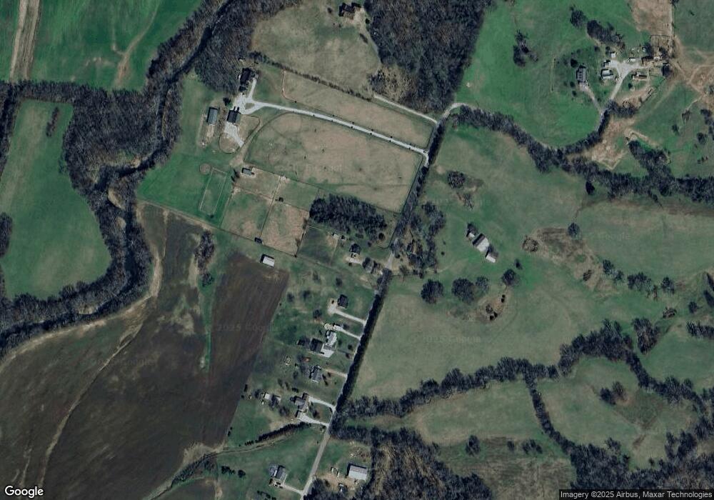
Map
Nearby Homes
- 0 Elkton Pike
- 2901 Elkton Pike
- 2250 Elkton Pike
- 12 Acres Bunker Hill Rd
- 12A Bunker Hill Rd
- 207 Sugar Tree Ln
- 1 Sugar Tree Rd
- 107 Sugar Tree Rd
- 280 Ross Rd
- 3185 Prospect Rd
- 900 Sorghum Hollow Rd
- 1316 Edgewood Dr
- 0 Moore Hollow Rd
- 1950 Elkton Pike
- 2200 Crescentview Rd
- 0 Hwy 64 W
- 208 John Brownlow Rd
- 9 Old Stage Rd
- 5 Old Stage Rd
- 05 Old Stage Rd