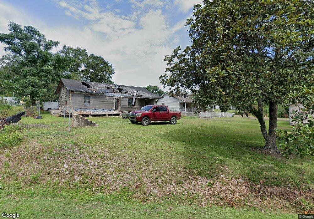
510 S Clark Ave Magnolia, MS 39652
Estimated Value: $157,000 - $284,000
3
Beds
3
Baths
2,650
Sq Ft
$83/Sq Ft
Est. Value
About This Home
This home is located at 510 S Clark Ave, Magnolia, MS 39652 and is currently estimated at $219,931, approximately $82 per square foot. 510 S Clark Ave is a home located in Pike County with nearby schools including Eva Gordon Lower Elementary School, Osyka Elementary School, and South Pike Junior High School.
Ownership History
Date
Name
Owned For
Owner Type
Purchase Details
Closed on
Jan 6, 2022
Sold by
Swindle Gary W
Bought by
Talley Mack
Current Estimated Value
Home Financials for this Owner
Home Financials are based on the most recent Mortgage that was taken out on this home.
Original Mortgage
$247,000
Outstanding Balance
$226,739
Interest Rate
3.12%
Mortgage Type
VA
Estimated Equity
-$6,808
Purchase Details
Closed on
Nov 30, 2006
Sold by
Storer James S
Bought by
Swindle Gary W and Swindle Theresa C
Create a Home Valuation Report for This Property
The Home Valuation Report is an in-depth analysis detailing your home's value as well as a comparison with similar homes in the area
Home Values in the Area
Average Home Value in this Area
Purchase History
| Date | Buyer | Sale Price | Title Company |
|---|---|---|---|
| Talley Mack | -- | None Listed On Document | |
| Swindle Gary W | -- | None Available |
Source: Public Records
Mortgage History
| Date | Status | Borrower | Loan Amount |
|---|---|---|---|
| Open | Talley Mack | $247,000 |
Source: Public Records
Tax History Compared to Growth
Tax History
| Year | Tax Paid | Tax Assessment Tax Assessment Total Assessment is a certain percentage of the fair market value that is determined by local assessors to be the total taxable value of land and additions on the property. | Land | Improvement |
|---|---|---|---|---|
| 2025 | -- | $8,441 | $0 | $0 |
| 2024 | -- | $7,260 | $0 | $0 |
| 2023 | -- | $7,260 | $0 | $0 |
| 2022 | $0 | $7,260 | $0 | $0 |
| 2021 | $0 | $7,260 | $0 | $0 |
| 2020 | $0 | $6,948 | $0 | $0 |
| 2019 | $767 | $6,948 | $0 | $0 |
| 2018 | $0 | $6,948 | $0 | $0 |
| 2017 | $0 | $6,948 | $0 | $0 |
| 2016 | $767 | $6,948 | $0 | $0 |
| 2015 | -- | $9,479 | $0 | $0 |
| 2014 | -- | $9,479 | $0 | $0 |
| 2013 | -- | $9,479 | $0 | $0 |
Source: Public Records
Map
Nearby Homes
- 350 Price St
- 250 W Main St
- 205 Wilson Dr
- 475 W Bay St
- 102 W Myrtle St
- 455 Melvin O Harris St
- 505 N Cherry St
- 224 W Holly St
- 3181 Centerville Rd
- 1034 Oak Tree Ln
- 2007 Hillside Dr
- 4193 Muddy Springs Rd
- Tbd Hamp Lea Rd
- 8105 Centerville Rd
- 1146 Union Church Rd
- 1019 Kennedy Rd
- 0 Quinlivan Rd
- 2052 Mississippi 48
- 2039 Mississippi 48
- 1079 New Home Rd