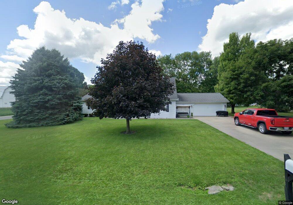
510 S Liberty St West Unity, OH 43570
Estimated Value: $185,000 - $209,000
4
Beds
3
Baths
1,824
Sq Ft
$107/Sq Ft
Est. Value
About This Home
This home is located at 510 S Liberty St, West Unity, OH 43570 and is currently estimated at $195,712, approximately $107 per square foot. 510 S Liberty St is a home located in Williams County with nearby schools including Hilltop Elementary School and Hilltop High School.
Ownership History
Date
Name
Owned For
Owner Type
Purchase Details
Closed on
May 10, 2006
Sold by
Lucas Lisa and Zuver Lisa
Bought by
Zuver Dan and Zuver Lisa
Current Estimated Value
Home Financials for this Owner
Home Financials are based on the most recent Mortgage that was taken out on this home.
Original Mortgage
$136,000
Interest Rate
6.56%
Mortgage Type
New Conventional
Purchase Details
Closed on
Jul 2, 1990
Bought by
Lucas Lisa M
Create a Home Valuation Report for This Property
The Home Valuation Report is an in-depth analysis detailing your home's value as well as a comparison with similar homes in the area
Home Values in the Area
Average Home Value in this Area
Purchase History
| Date | Buyer | Sale Price | Title Company |
|---|---|---|---|
| Zuver Dan | -- | Chelsea Title Agency | |
| Lucas Lisa M | $73,000 | -- |
Source: Public Records
Mortgage History
| Date | Status | Borrower | Loan Amount |
|---|---|---|---|
| Previous Owner | Zuver Dan | $136,000 |
Source: Public Records
Tax History Compared to Growth
Tax History
| Year | Tax Paid | Tax Assessment Tax Assessment Total Assessment is a certain percentage of the fair market value that is determined by local assessors to be the total taxable value of land and additions on the property. | Land | Improvement |
|---|---|---|---|---|
| 2024 | $2,213 | $55,340 | $7,180 | $48,160 |
| 2023 | $2,213 | $44,910 | $7,140 | $37,770 |
| 2022 | $2,135 | $44,910 | $7,140 | $37,770 |
| 2021 | $2,135 | $44,910 | $7,140 | $37,770 |
| 2020 | $1,922 | $39,030 | $6,200 | $32,830 |
| 2019 | $1,892 | $39,030 | $6,200 | $32,830 |
| 2018 | $1,771 | $39,030 | $6,200 | $32,830 |
| 2017 | $1,707 | $34,900 | $5,880 | $29,020 |
| 2016 | $1,630 | $34,900 | $5,880 | $29,020 |
| 2015 | $1,860 | $34,900 | $5,880 | $29,020 |
| 2014 | $1,860 | $36,760 | $6,200 | $30,560 |
| 2013 | $1,836 | $36,760 | $6,200 | $30,560 |
Source: Public Records
Map
Nearby Homes
- 340 S Main St
- 000 W Jackson
- 1070 E Meadow Cir
- 205 Taylor Dr
- 22227 Us Highway 20a
- 16806 US Highway 20a
- 305 W Mulberry St
- 15664 County Road K
- 301 Horton St
- 108 E Church St
- 3522 Woodlane Dr
- 5065 County Road 20-50
- 24218 State Route 2
- 10628 Ohio 15
- 0 St Rt 15 Unit 10001011
- 0 County Road 18
- 15390 16 Rd
- 7170 County Road 23
- 0 U S 20
- 4532 County Road 19
- 508 S Liberty St
- 201 E Cableline Rd
- 0 County Road 2040 Unit 6014067
- 11026 County Road 2040
- 509 Linda Dr
- 506 S Liberty St
- 507 Linda Dr
- 504 S Liberty St
- 103 E Cableline Rd
- 505 Linda Dr
- 522 Linda Dr
- 20302 County Road K
- 520 Linda Dr
- 503 Linda Dr
- 518 Linda Dr
- 509 S Main St
- 507 S Main St
- 500 S Liberty St
- 505 S Main St
- 516 Linda Dr