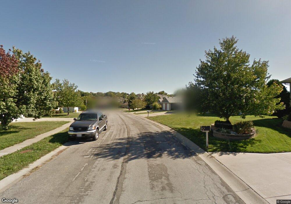
510 SW Whitestone Dr Grain Valley, MO 64029
Estimated Value: $264,694 - $301,000
3
Beds
2
Baths
1,212
Sq Ft
$236/Sq Ft
Est. Value
About This Home
This home is located at 510 SW Whitestone Dr, Grain Valley, MO 64029 and is currently estimated at $285,924, approximately $235 per square foot. 510 SW Whitestone Dr is a home located in Jackson County with nearby schools including Grain Valley High School.
Ownership History
Date
Name
Owned For
Owner Type
Purchase Details
Closed on
Dec 16, 1996
Sold by
Elite Investments Inc
Bought by
Hostos Johnny and Hostos Theresa C
Current Estimated Value
Home Financials for this Owner
Home Financials are based on the most recent Mortgage that was taken out on this home.
Original Mortgage
$99,900
Outstanding Balance
$10,164
Interest Rate
7.71%
Mortgage Type
VA
Estimated Equity
$275,760
Purchase Details
Closed on
Apr 10, 1996
Sold by
Ward Development & Investment Co
Bought by
Elite Investments Inc
Home Financials for this Owner
Home Financials are based on the most recent Mortgage that was taken out on this home.
Original Mortgage
$77,600
Interest Rate
8.41%
Mortgage Type
Construction
Create a Home Valuation Report for This Property
The Home Valuation Report is an in-depth analysis detailing your home's value as well as a comparison with similar homes in the area
Home Values in the Area
Average Home Value in this Area
Purchase History
| Date | Buyer | Sale Price | Title Company |
|---|---|---|---|
| Hostos Johnny | -- | Stewart Title | |
| Elite Investments Inc | -- | -- |
Source: Public Records
Mortgage History
| Date | Status | Borrower | Loan Amount |
|---|---|---|---|
| Open | Hostos Johnny | $99,900 | |
| Previous Owner | Elite Investments Inc | $77,600 |
Source: Public Records
Tax History Compared to Growth
Tax History
| Year | Tax Paid | Tax Assessment Tax Assessment Total Assessment is a certain percentage of the fair market value that is determined by local assessors to be the total taxable value of land and additions on the property. | Land | Improvement |
|---|---|---|---|---|
| 2025 | $3,382 | $38,696 | $7,735 | $30,961 |
| 2024 | $3,256 | $41,061 | $4,395 | $36,666 |
| 2023 | $3,256 | $41,061 | $5,387 | $35,674 |
| 2022 | $2,652 | $29,260 | $3,650 | $25,610 |
| 2021 | $2,590 | $29,260 | $3,650 | $25,610 |
| 2020 | $2,618 | $29,170 | $3,650 | $25,520 |
| 2019 | $2,565 | $29,170 | $3,650 | $25,520 |
| 2018 | $2,389 | $25,388 | $3,177 | $22,211 |
| 2017 | $2,389 | $25,388 | $3,177 | $22,211 |
| 2016 | $2,298 | $24,438 | $3,499 | $20,939 |
| 2014 | $2,271 | $23,959 | $3,431 | $20,528 |
Source: Public Records
Map
Nearby Homes
- 636 SW Lakeview Dr
- 509 SW Joseph Ct
- 1215 SW Lone Star Ct
- 1024 Christie Ln
- 1214 SW Windcrest Ct
- 1219 SW Windcrest Ct
- 714 SW Brome Dr
- 1309 SW Graystone Cir
- 401 S Minter Rd
- 719 S Minter Rd
- 1418 SW Blue Branch Dr
- 725 SW Tisha Ln
- 1203 SW Lakeview Dr
- 640 SW Crestview Dr
- 1200 SW Foxtail Dr
- 200 Cross Creek Ln
- 913 SW Abar Dr
- 209 SW Cross Creek Dr
- 207 Pebblebrook St
- 506 SW Meadowood Dr
- 508 SW Whitestone Dr
- 512 SW Whitestone Dr
- 514 SW Whitestone Dr
- 515 SW Montana Ridge Dr
- 513 SW Montana Ridge Dr
- 517 SW Montana Ridge Dr
- 506 SW Whitestone Dr
- 511 SW Whitestone Dr
- 511 SW Montana Ridge Dr
- 519 SW Montana Ridge Dr
- 509 SW Whitestone Dr
- 513 SW Whitestone Dr
- 504 SW Whitestone Dr
- 507 SW Whitestone Dr
- 515 SW Whitestone Dr
- 509 SW Montana Ridge Dr
- 505 SW Whitestone Dr
- 502 SW Whitestone Dr
- 600 SW Whitestone Dr
- 514 SW Centurion Ct