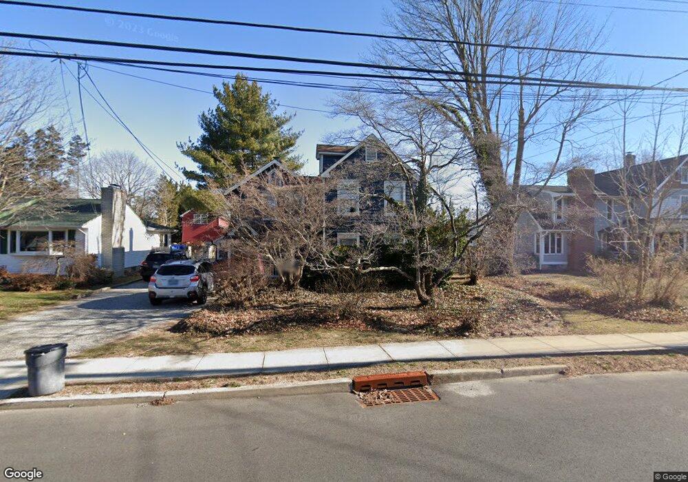
510 Union Ln Brielle, NJ 08730
Estimated Value: $777,000 - $1,060,552
4
Beds
2
Baths
2,332
Sq Ft
$398/Sq Ft
Est. Value
About This Home
This home is located at 510 Union Ln, Brielle, NJ 08730 and is currently estimated at $927,638, approximately $397 per square foot. 510 Union Ln is a home located in Monmouth County with nearby schools including Brielle Elementary School and St. Peter School.
Ownership History
Date
Name
Owned For
Owner Type
Purchase Details
Closed on
Feb 14, 2023
Sold by
Bernhardt Donald J and Bernhardt Donna A
Bought by
Bernhardt Lee D and Delehanty Kelsey E
Current Estimated Value
Home Financials for this Owner
Home Financials are based on the most recent Mortgage that was taken out on this home.
Original Mortgage
$420,000
Outstanding Balance
$406,315
Interest Rate
6.12%
Mortgage Type
New Conventional
Estimated Equity
$521,323
Purchase Details
Closed on
Jan 18, 1994
Sold by
Vertucci Irving
Bought by
Bernhardt Donald and Bernhardt Donna
Home Financials for this Owner
Home Financials are based on the most recent Mortgage that was taken out on this home.
Original Mortgage
$100,000
Interest Rate
6.96%
Create a Home Valuation Report for This Property
The Home Valuation Report is an in-depth analysis detailing your home's value as well as a comparison with similar homes in the area
Home Values in the Area
Average Home Value in this Area
Purchase History
| Date | Buyer | Sale Price | Title Company |
|---|---|---|---|
| Bernhardt Lee D | $525,000 | Oceanview Title | |
| Bernhardt Lee D | $525,000 | Oceanview Title | |
| Bernhardt Donald | $125,000 | -- |
Source: Public Records
Mortgage History
| Date | Status | Borrower | Loan Amount |
|---|---|---|---|
| Open | Bernhardt Lee D | $420,000 | |
| Closed | Bernhardt Lee D | $420,000 | |
| Previous Owner | Bernhardt Donald | $100,000 |
Source: Public Records
Tax History Compared to Growth
Tax History
| Year | Tax Paid | Tax Assessment Tax Assessment Total Assessment is a certain percentage of the fair market value that is determined by local assessors to be the total taxable value of land and additions on the property. | Land | Improvement |
|---|---|---|---|---|
| 2025 | $10,823 | $907,900 | $606,800 | $301,100 |
| 2024 | $9,599 | $872,100 | $576,600 | $295,500 |
| 2023 | $9,599 | $747,000 | $458,400 | $288,600 |
| 2022 | $8,855 | $709,400 | $434,600 | $274,800 |
| 2021 | $8,855 | $578,000 | $339,600 | $238,400 |
| 2020 | $8,674 | $529,900 | $296,900 | $233,000 |
| 2019 | $8,602 | $533,300 | $301,600 | $231,700 |
| 2018 | $8,461 | $517,800 | $296,900 | $220,900 |
| 2017 | $8,454 | $511,100 | $296,900 | $214,200 |
| 2016 | $8,169 | $494,800 | $287,400 | $207,400 |
| 2015 | $7,756 | $466,400 | $268,400 | $198,000 |
| 2014 | $6,366 | $408,600 | $282,700 | $125,900 |
Source: Public Records
Map
Nearby Homes
- 508 Harris Ave
- 806 Riverview Dr
- 300 Union Ave
- 542 Woodland Ave
- 323-325 Fisk Ave
- 329 Fisk Ave
- 507 Magnolia Ave
- 619 Park Ave
- 610 Agnes Ave
- 308 South St
- 642 Rankin Rd
- 130 Union Ave
- 816 Rathjen Rd
- 14 Lebanon Dr
- 846 William Dr
- 394 E Virginia Ave
- 203 Lenape Trail
- 20 Maple Ln Unit D
- 355 Cedar Ave
- 116 Curtis Ave