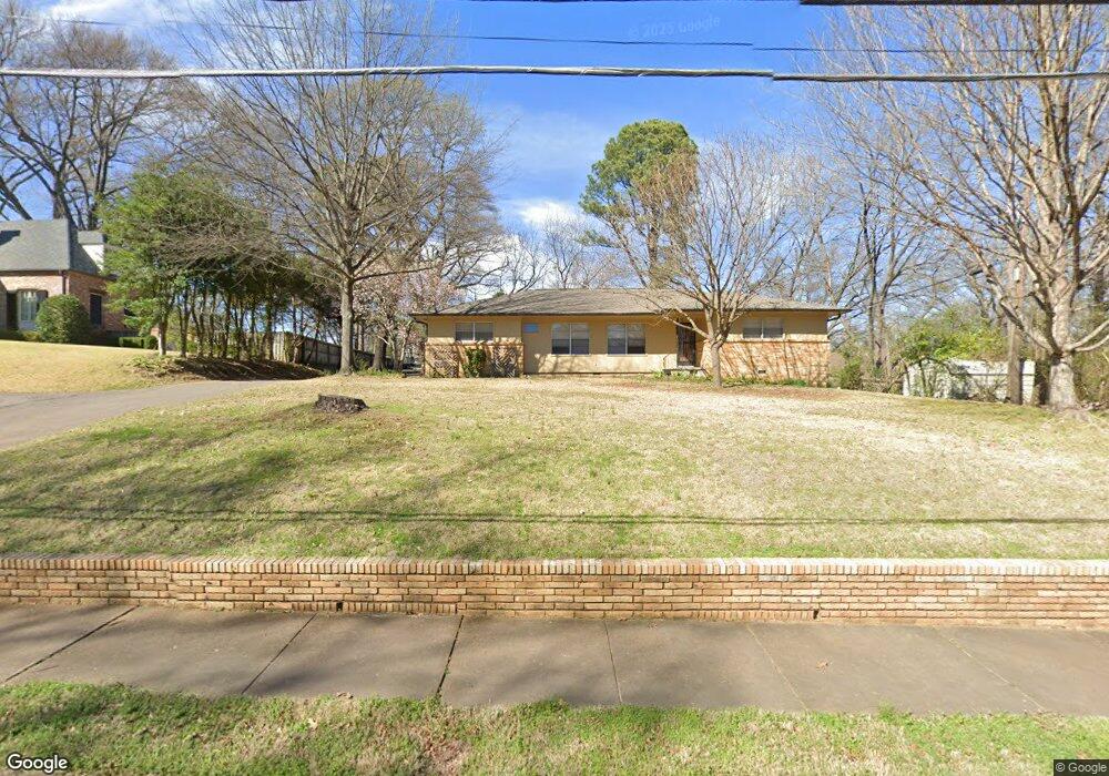
5100 Cole Rd Memphis, TN 38117
Audubon Park NeighborhoodEstimated Value: $337,000 - $381,000
3
Beds
2
Baths
1,924
Sq Ft
$191/Sq Ft
Est. Value
About This Home
This home is located at 5100 Cole Rd, Memphis, TN 38117 and is currently estimated at $366,982, approximately $190 per square foot. 5100 Cole Rd is a home located in Shelby County with nearby schools including White Station Elementary School, White Station High, and White Station Middle.
Ownership History
Date
Name
Owned For
Owner Type
Purchase Details
Closed on
Apr 30, 2012
Sold by
Larkin Gloria M
Bought by
Glasgow William Ray and Glasgow Sherry L
Current Estimated Value
Purchase Details
Closed on
Feb 22, 2000
Sold by
Richhart Margaret D
Bought by
Glasgow William R and Glasgow Sherry L
Home Financials for this Owner
Home Financials are based on the most recent Mortgage that was taken out on this home.
Original Mortgage
$100,000
Interest Rate
8.29%
Create a Home Valuation Report for This Property
The Home Valuation Report is an in-depth analysis detailing your home's value as well as a comparison with similar homes in the area
Home Values in the Area
Average Home Value in this Area
Purchase History
| Date | Buyer | Sale Price | Title Company |
|---|---|---|---|
| Glasgow William Ray | -- | None Available | |
| Glasgow William R | $165,000 | Equity Title & Escrow Compan |
Source: Public Records
Mortgage History
| Date | Status | Borrower | Loan Amount |
|---|---|---|---|
| Previous Owner | Glasgow William R | $100,000 | |
| Closed | Glasgow William R | $25,000 |
Source: Public Records
Tax History Compared to Growth
Tax History
| Year | Tax Paid | Tax Assessment Tax Assessment Total Assessment is a certain percentage of the fair market value that is determined by local assessors to be the total taxable value of land and additions on the property. | Land | Improvement |
|---|---|---|---|---|
| 2025 | $2,566 | $97,675 | $48,825 | $48,850 |
| 2024 | $2,566 | $75,700 | $38,250 | $37,450 |
| 2023 | $4,611 | $75,700 | $38,250 | $37,450 |
| 2022 | $4,611 | $75,700 | $38,250 | $37,450 |
| 2021 | $4,665 | $75,700 | $38,250 | $37,450 |
| 2020 | $4,875 | $67,275 | $38,250 | $29,025 |
| 2019 | $4,875 | $67,275 | $38,250 | $29,025 |
| 2018 | $4,875 | $67,275 | $38,250 | $29,025 |
| 2017 | $2,765 | $67,275 | $38,250 | $29,025 |
| 2016 | $2,405 | $55,025 | $0 | $0 |
| 2014 | $2,405 | $55,025 | $0 | $0 |
Source: Public Records
Map
Nearby Homes
- 5094 Cole Rd
- 267 Barry Rd
- 5055 Greenway Rd
- 264 Barry Rd
- 380 Greenway Place
- 5071 Anchor Cove
- 5280 Cole Rd
- 476 W Racquet Club Place
- 5157 S Angela Rd
- 478 W Racquet Club Place
- 501 W Racquet Club Place
- 4926 Greenway Ave
- 4916 Greenway Ave
- 4948 Fairfield Cir
- 65 Laverne Ln
- 4903 Greenway Ave
- 50 Grove Creek Place
- 5264 S Angela Rd
- 435 Fairfield Cir
- 5188 Gwynne Rd