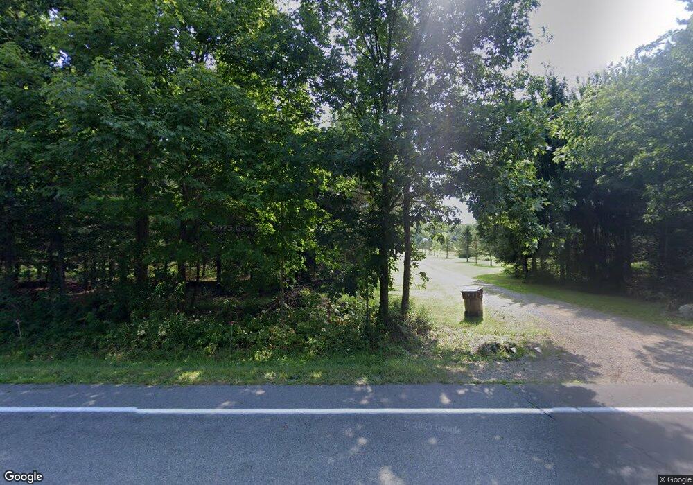
5100 N Williamston Rd Williamston, MI 48895
Estimated Value: $628,000 - $852,706
4
Beds
4
Baths
3,329
Sq Ft
$217/Sq Ft
Est. Value
About This Home
This home is located at 5100 N Williamston Rd, Williamston, MI 48895 and is currently estimated at $720,902, approximately $216 per square foot. 5100 N Williamston Rd is a home located in Ingham County with nearby schools including Williamston Discovery Elementary School, Williamston Explorer Elementary School, and Williamston Middle School.
Ownership History
Date
Name
Owned For
Owner Type
Purchase Details
Closed on
Nov 14, 2001
Sold by
Curtis Bruce A and Curtis Brenda F
Bought by
Morrow Donald G and Morrow Melissa A
Current Estimated Value
Purchase Details
Closed on
Nov 5, 2001
Sold by
Vanostran Larry and Vanostran Frances
Bought by
Curtis Bruce and Curtis Brenda
Purchase Details
Closed on
Nov 10, 1995
Sold by
Curtis Bruce and Curtis Brenda
Bought by
Morrow Donald G and Morrow Milissa A
Purchase Details
Closed on
Oct 1, 1991
Purchase Details
Closed on
Mar 1, 1990
Create a Home Valuation Report for This Property
The Home Valuation Report is an in-depth analysis detailing your home's value as well as a comparison with similar homes in the area
Home Values in the Area
Average Home Value in this Area
Purchase History
| Date | Buyer | Sale Price | Title Company |
|---|---|---|---|
| Morrow Donald G | $80,000 | -- | |
| Curtis Bruce | $40,000 | -- | |
| Morrow Donald G | $80,000 | -- | |
| -- | $32,000 | -- | |
| -- | $40,000 | -- |
Source: Public Records
Tax History Compared to Growth
Tax History
| Year | Tax Paid | Tax Assessment Tax Assessment Total Assessment is a certain percentage of the fair market value that is determined by local assessors to be the total taxable value of land and additions on the property. | Land | Improvement |
|---|---|---|---|---|
| 2025 | $14,288 | $428,500 | $89,600 | $338,900 |
| 2024 | $13,268 | $428,500 | $89,600 | $338,900 |
| 2023 | $13,268 | $398,300 | $89,600 | $308,700 |
| 2022 | $12,639 | $351,200 | $89,300 | $261,900 |
| 2021 | $12,378 | $350,500 | $86,500 | $264,000 |
| 2020 | $11,867 | $355,300 | $86,500 | $268,800 |
| 2019 | $10,831 | $339,800 | $86,500 | $253,300 |
| 2018 | $11,280 | $312,100 | $82,000 | $230,100 |
| 2017 | $10,777 | $312,100 | $82,000 | $230,100 |
| 2016 | $10,545 | $303,400 | $79,400 | $224,000 |
| 2015 | -- | $269,300 | $158,875 | $110,425 |
| 2014 | -- | $262,200 | $158,875 | $103,325 |
Source: Public Records
Map
Nearby Homes
- 5494 N Williamston Rd
- 2197 E Haslett Rd
- 1544 E Sherwood Rd
- 2865 E Sherwood Rd
- 5775 Zimmer Rd
- 2095 Mitchell Rd
- 1435 Epley Rd
- 4350 Fruitbelt Ln
- 4347 Fruitbelt Ln
- 0 Hiddenview Ln
- 2418 Knollridge Ln
- 650 Mccauley St
- 1020 Cherry Valle Ln
- 610 E Church St
- 133 E Riverside St
- 6421 Lounsbury Rd
- 2260 Milton Rd
- 526 Red Cedar Blvd
- 1802 Harvey Dr
- 508 Red Cedar Blvd
- 5170 N Williamston Rd
- 5200 N Williamston Rd
- 5230 N Williamston Rd
- 5018 N
- 5276 N Williamston Rd
- 5018 N Williamston Rd
- 5044 N Williamston Rd
- 5010 N Williamston Rd
- 5271 N Williamston Rd
- 4922 N Williamston Rd
- 5149 N Williamston Rd
- 1900 Germany Rd
- 4916 N Williamston Rd
- 1866 Germany Rd
- 4925 N Williamston Rd
- 5410 N Williamston Rd
- 5411 N Williamston Rd
- 4850 N Williamsto
- 4853 N Williamston Rd
