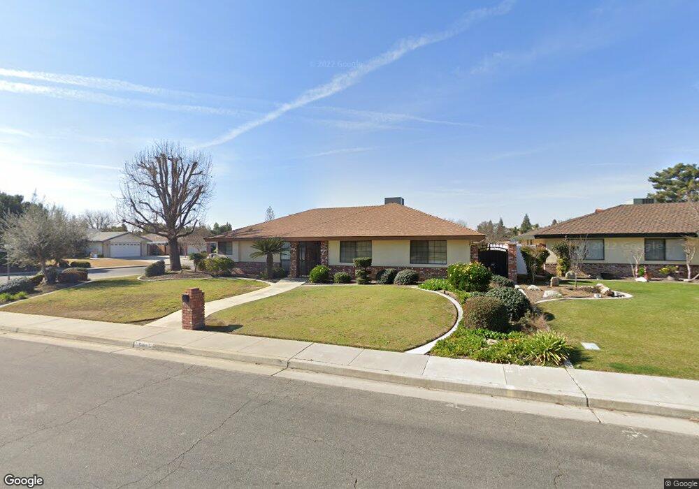
5101 Ruth Ct Bakersfield, CA 93308
Fruitvale NeighborhoodEstimated Value: $439,453 - $510,000
3
Beds
2
Baths
2,088
Sq Ft
$228/Sq Ft
Est. Value
About This Home
This home is located at 5101 Ruth Ct, Bakersfield, CA 93308 and is currently estimated at $476,863, approximately $228 per square foot. 5101 Ruth Ct is a home located in Kern County with nearby schools including Olive Drive Elementary School, Norris Middle School, and Centennial High School.
Ownership History
Date
Name
Owned For
Owner Type
Purchase Details
Closed on
Mar 12, 2007
Sold by
Work Henry J and Work Glynda F
Bought by
Work Henry J and Work Glynda F
Current Estimated Value
Purchase Details
Closed on
Mar 25, 1998
Sold by
Work Henry J and Work Glynda F
Bought by
Work Henry J and Work Glynda F
Purchase Details
Closed on
Apr 29, 1986
Sold by
Work Henry J
Bought by
Work Henry J and Work Glynda F
Create a Home Valuation Report for This Property
The Home Valuation Report is an in-depth analysis detailing your home's value as well as a comparison with similar homes in the area
Home Values in the Area
Average Home Value in this Area
Purchase History
| Date | Buyer | Sale Price | Title Company |
|---|---|---|---|
| Work Henry J | -- | None Available | |
| Work Henry J | -- | -- | |
| Work Henry J | -- | -- |
Source: Public Records
Tax History
| Year | Tax Paid | Tax Assessment Tax Assessment Total Assessment is a certain percentage of the fair market value that is determined by local assessors to be the total taxable value of land and additions on the property. | Land | Improvement |
|---|---|---|---|---|
| 2025 | $3,300 | $241,140 | $57,405 | $183,735 |
| 2024 | $3,231 | $236,413 | $56,280 | $180,133 |
| 2023 | $3,231 | $231,778 | $55,177 | $176,601 |
| 2022 | $3,161 | $227,235 | $54,096 | $173,139 |
| 2021 | $3,076 | $222,781 | $53,036 | $169,745 |
| 2020 | $2,982 | $220,498 | $52,493 | $168,005 |
| 2019 | $2,938 | $220,498 | $52,493 | $168,005 |
| 2018 | $2,841 | $211,937 | $50,455 | $161,482 |
| 2017 | $2,851 | $207,782 | $49,466 | $158,316 |
| 2016 | $2,660 | $203,709 | $48,497 | $155,212 |
| 2015 | $2,615 | $200,650 | $47,769 | $152,881 |
| 2014 | $2,542 | $196,721 | $46,834 | $149,887 |
Source: Public Records
Map
Nearby Homes
- 7625 Weldon Ave
- 5216 Westpark St
- 5433 Westpark St
- 7408 Feather River Dr
- 7809 Carol Sue Ct
- 7421 Feather River Dr
- 7113 Brookshire Ave
- 7112 Brookshire Ave
- 7001 Eloy Ave
- 7125 Yuma Way Unit B
- 7113 Aztec Way
- 7717 Angoras Ct
- 8118 Whitewater Dr
- 7101 Aztec Way
- 7503 Olive Dr
- 7001 Aztec Way
- 7104 Copper Creek Way Unit A
- 6925 Aztec Way
- 6921 Aztec Way
- 7815 Vaquero Ave
- 5117 Ruth Ct
- 5100 Tamara Ct
- 5116 Tamara Ct
- 5133 Ruth Ct
- 7509 Weldon Ave
- 7501 Weldon Ave
- 7517 Weldon Ave
- 5116 Ruth Ct
- 7425 Weldon Ave
- 7525 Weldon Ave
- 5132 Tamara Ct
- 5132 Ruth Ct
- 7417 Weldon Ave
- 7601 Weldon Ave
- 7508 Live Oak Way
- 5101 Tamara Ct
- 7512 Live Oak Way
- 7504 Live Oak Way
- 5200 Tamara Ct
- 5117 Tamara Ct
Your Personal Tour Guide
Ask me questions while you tour the home.