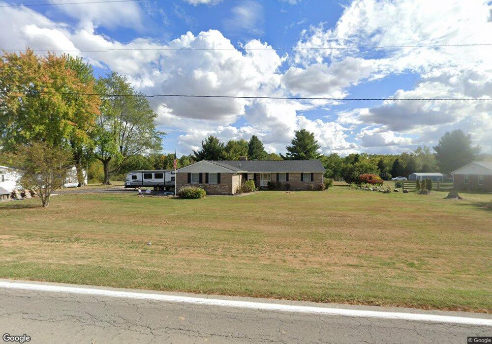
5103 State Route 350 Clarksville, OH 45113
Estimated Value: $336,196 - $430,000
4
Beds
3
Baths
2,230
Sq Ft
$177/Sq Ft
Est. Value
About This Home
This home is located at 5103 State Route 350, Clarksville, OH 45113 and is currently estimated at $394,549, approximately $176 per square foot. 5103 State Route 350 is a home located in Clinton County with nearby schools including Clinton-Massie Elementary School, Clinton-Massie Middle School, and Clinton-Massie High School.
Ownership History
Date
Name
Owned For
Owner Type
Purchase Details
Closed on
Jun 25, 2022
Sold by
Harris Sugar R and Harris Gary
Bought by
Harris Sugar R and Harris Gary
Current Estimated Value
Home Financials for this Owner
Home Financials are based on the most recent Mortgage that was taken out on this home.
Original Mortgage
$200,000
Outstanding Balance
$190,294
Interest Rate
5.1%
Mortgage Type
New Conventional
Estimated Equity
$204,255
Purchase Details
Closed on
May 2, 1997
Bought by
Barber Steven and Connie *Sd
Create a Home Valuation Report for This Property
The Home Valuation Report is an in-depth analysis detailing your home's value as well as a comparison with similar homes in the area
Home Values in the Area
Average Home Value in this Area
Purchase History
| Date | Buyer | Sale Price | Title Company |
|---|---|---|---|
| Harris Sugar R | -- | None Listed On Document | |
| Harris Sugar R | -- | Pearl James R | |
| Barber Steven | $129,500 | -- |
Source: Public Records
Mortgage History
| Date | Status | Borrower | Loan Amount |
|---|---|---|---|
| Open | Harris Sugar R | $200,000 | |
| Closed | Harris Sugar R | $200,000 |
Source: Public Records
Tax History Compared to Growth
Tax History
| Year | Tax Paid | Tax Assessment Tax Assessment Total Assessment is a certain percentage of the fair market value that is determined by local assessors to be the total taxable value of land and additions on the property. | Land | Improvement |
|---|---|---|---|---|
| 2024 | $3,160 | $93,700 | $7,740 | $85,960 |
| 2023 | $3,160 | $93,700 | $7,740 | $85,960 |
| 2022 | $2,480 | $67,790 | $4,910 | $62,880 |
| 2021 | $2,482 | $67,790 | $4,910 | $62,880 |
| 2020 | $2,438 | $67,790 | $4,910 | $62,880 |
| 2019 | $1,863 | $52,830 | $5,700 | $47,130 |
| 2018 | $1,884 | $52,830 | $5,700 | $47,130 |
| 2017 | $917 | $52,830 | $5,700 | $47,130 |
| 2016 | $1,714 | $47,920 | $5,710 | $42,210 |
| 2015 | $1,377 | $48,370 | $6,160 | $42,210 |
| 2013 | $1,404 | $47,570 | $6,160 | $41,410 |
Source: Public Records
Map
Nearby Homes
- 4347 Ohio 350
- 6182 Ohio 730
- 9132 St Rt 730
- 9132 State Route 730
- 0 Old State Rd Unit 1849352
- 9356 Ohio 350
- 450 Pansy Rd
- 582 Nauvoo Rd
- 279 Frances Dr
- 216 Pansy Rd
- 6182 State Route 730
- 104 Linton Ave
- 420 Kensington Dr
- 1623 Reeder Rd
- 1056 Halpin Rd
- 1896 Reeder Rd
- 1211 Pratt Rd
- 4255 Nicholson Rd
- 21 Kimlor Ln
- 2211 Reeder Rd
- 5103 St Rt 350
- 5131 State Route 350
- 5071 State Route 350
- 5071 W St Rt 350
- 5187 State Route 350
- 5043 St Rt 350
- 5187 St Rt 350
- 5124 State Route 350
- 5048 State Route 350
- 4980 State Route 350
- 4997 State Route 350
- 5252 State Route 350
- 4989 State Route 350
- 5292 State Route 350
- 4901 State Route 350
- 5118 State Route 350
- 5118 State Route 350
- 4839 State Route 350
- 5428 State Route 350
- 4811 State Route 350