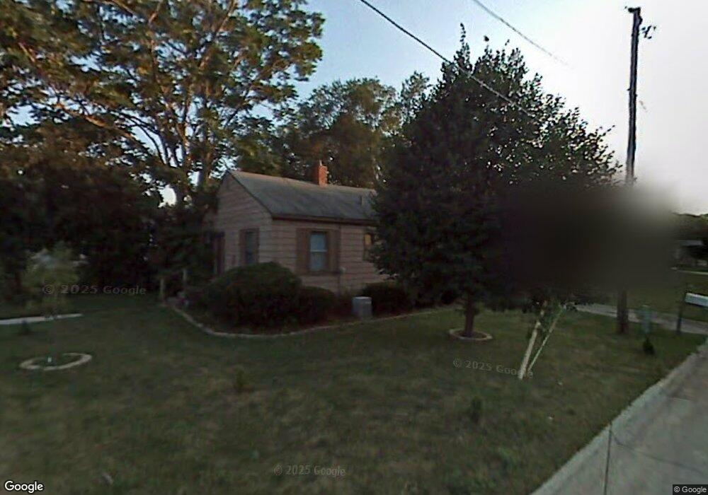
5104 SW 9th St Des Moines, IA 50315
Watrous South NeighborhoodEstimated Value: $109,000 - $137,000
2
Beds
1
Bath
576
Sq Ft
$213/Sq Ft
Est. Value
About This Home
This home is located at 5104 SW 9th St, Des Moines, IA 50315 and is currently estimated at $122,542, approximately $212 per square foot. 5104 SW 9th St is a home located in Polk County with nearby schools including Wright Elementary School, Brody Middle School, and Lincoln High School.
Ownership History
Date
Name
Owned For
Owner Type
Purchase Details
Closed on
Dec 11, 2014
Sold by
Robinson Scott D and Robinson Scott D
Bought by
Houseburyers Llc
Current Estimated Value
Purchase Details
Closed on
Mar 31, 2005
Sold by
Rice Gregory P and Rice Joyce J
Bought by
Robinson Scott D
Home Financials for this Owner
Home Financials are based on the most recent Mortgage that was taken out on this home.
Original Mortgage
$61,042
Interest Rate
5.64%
Mortgage Type
Purchase Money Mortgage
Create a Home Valuation Report for This Property
The Home Valuation Report is an in-depth analysis detailing your home's value as well as a comparison with similar homes in the area
Home Values in the Area
Average Home Value in this Area
Purchase History
| Date | Buyer | Sale Price | Title Company |
|---|---|---|---|
| Houseburyers Llc | $18,500 | None Available | |
| Robinson Scott D | $61,500 | -- |
Source: Public Records
Mortgage History
| Date | Status | Borrower | Loan Amount |
|---|---|---|---|
| Previous Owner | Robinson Scott D | $61,042 |
Source: Public Records
Tax History Compared to Growth
Tax History
| Year | Tax Paid | Tax Assessment Tax Assessment Total Assessment is a certain percentage of the fair market value that is determined by local assessors to be the total taxable value of land and additions on the property. | Land | Improvement |
|---|---|---|---|---|
| 2025 | $1,502 | $112,300 | $30,400 | $81,900 |
| 2024 | $1,502 | $76,300 | $26,500 | $49,800 |
| 2023 | $1,378 | $99,300 | $26,500 | $72,800 |
| 2022 | $1,368 | $81,500 | $21,800 | $59,700 |
| 2021 | $1,338 | $81,500 | $21,800 | $59,700 |
| 2020 | $1,390 | $76,600 | $20,400 | $56,200 |
| 2019 | $1,204 | $76,600 | $20,400 | $56,200 |
| 2018 | $1,192 | $67,800 | $17,800 | $50,000 |
| 2017 | $1,118 | $67,800 | $17,800 | $50,000 |
| 2016 | $1,112 | $64,300 | $16,500 | $47,800 |
| 2015 | $1,112 | $42,200 | $16,500 | $25,700 |
| 2014 | $1,340 | $50,400 | $15,100 | $35,300 |
Source: Public Records
Map
Nearby Homes
- 5402 SW 8th St
- 5407 SW 9th St
- 1004 Titus Ave
- 936 Mckinley Ave Unit 14
- 520 Hackley Ave
- 1207 Kenyon Ave
- . Herold Ave
- 1243 Hackley Ave
- 1116 Herold Ave
- 299 Hackley Ave
- 930 Emma Ave
- 4916 SW 13th St
- 1109 Herold Ave
- 612 Emma Ave
- 1203 Herold Ave
- 1010 Frederick Ave
- 303 Porter Ave
- 212 Titus Ave
- 508 Wall Ave
- 515 Emma Ave
- 5108 SW 9th St
- 908 Spring St
- 912 Spring St
- 903 Frazier Ave
- 907 Frazier Ave
- 916 Spring St
- 5201 SW 9th St
- 902 Hackley Ave
- 904 Hackley Ave
- 914 Hackley Ave
- 911 Frazier Ave
- 920 Spring St
- 922 Hackley Ave
- 915 Frazier Ave
- 906 Frazier Ave
- 908 Frazier Ave
- 926 Hackley Ave
- 924 Spring St
- 919 Frazier Ave
- 930 Hackley Ave