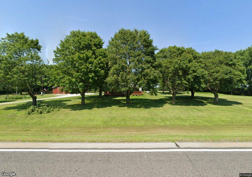
51040 State Highway 251 Austin, MN 55912
Estimated Value: $315,000 - $406,000
3
Beds
1
Bath
1,889
Sq Ft
$193/Sq Ft
Est. Value
About This Home
This home is located at 51040 State Highway 251, Austin, MN 55912 and is currently estimated at $364,145, approximately $192 per square foot. 51040 State Highway 251 is a home with nearby schools including Banfield Elementary School, Ellis Middle School, and I.J. Holton Intermediate School.
Ownership History
Date
Name
Owned For
Owner Type
Purchase Details
Closed on
Sep 30, 2015
Sold by
Wiste Steven Steven
Bought by
Hines Michael Michael
Current Estimated Value
Home Financials for this Owner
Home Financials are based on the most recent Mortgage that was taken out on this home.
Original Mortgage
$121,600
Outstanding Balance
$95,609
Interest Rate
3.86%
Estimated Equity
$268,536
Create a Home Valuation Report for This Property
The Home Valuation Report is an in-depth analysis detailing your home's value as well as a comparison with similar homes in the area
Home Values in the Area
Average Home Value in this Area
Purchase History
| Date | Buyer | Sale Price | Title Company |
|---|---|---|---|
| Hines Michael Michael | $152,000 | -- |
Source: Public Records
Mortgage History
| Date | Status | Borrower | Loan Amount |
|---|---|---|---|
| Open | Hines Michael Michael | $121,600 |
Source: Public Records
Tax History Compared to Growth
Tax History
| Year | Tax Paid | Tax Assessment Tax Assessment Total Assessment is a certain percentage of the fair market value that is determined by local assessors to be the total taxable value of land and additions on the property. | Land | Improvement |
|---|---|---|---|---|
| 2025 | $2,754 | $333,900 | $90,000 | $243,900 |
| 2024 | $2,754 | $314,600 | $95,000 | $219,600 |
| 2023 | $2,954 | $315,800 | $95,000 | $220,800 |
| 2022 | $2,502 | $309,100 | $95,000 | $214,100 |
| 2021 | $1,998 | $251,000 | $78,000 | $173,000 |
| 2020 | $1,932 | $200,300 | $78,000 | $122,300 |
| 2018 | $814 | $188,200 | $76,000 | $112,200 |
| 2017 | $1,628 | $0 | $0 | $0 |
| 2016 | $1,600 | $0 | $0 | $0 |
| 2015 | $1,834 | $0 | $0 | $0 |
| 2012 | $1,834 | $0 | $0 | $0 |
Source: Public Records
Map
Nearby Homes
- 50424 305th St
- TBD 266th St & 539th Ave
- xxx 900th Ave Bridge
- 54067 267th St
- 24975 Mower Freeborn Rd
- 54224 266 St
- 87854 Minnesota 251
- 87854 State Highway 251
- 23520 902nd Ave
- TBD 902 Avenue
- TBD 30th Ave NE
- 1400 18th Ave NW
- 704 21st Ave NW
- TBD 555th Ave
- 211 Clinton St
- 1200 18th Ave NW Unit 137
- 1200 18th Ave NW Unit 125
- 1905 Burr Oak Dr Unit C
- 23779 555th Ave
- 1206 12th St NW