5105 Kempsford Ct SE Unit 26 Smyrna, GA 30080
Estimated Value: $473,676 - $494,000
4
Beds
4
Baths
2,608
Sq Ft
$186/Sq Ft
Est. Value
About This Home
This home is located at 5105 Kempsford Ct SE Unit 26, Smyrna, GA 30080 and is currently estimated at $484,669, approximately $185 per square foot. 5105 Kempsford Ct SE Unit 26 is a home located in Cobb County with nearby schools including Nickajack Elementary School, Campbell Middle School, and Campbell High School.
Ownership History
Date
Name
Owned For
Owner Type
Purchase Details
Closed on
Apr 14, 2015
Sold by
Hartfield Monique
Bought by
Hartfield Louise M
Current Estimated Value
Home Financials for this Owner
Home Financials are based on the most recent Mortgage that was taken out on this home.
Original Mortgage
$259,536
Outstanding Balance
$198,337
Interest Rate
3.62%
Mortgage Type
FHA
Estimated Equity
$286,332
Purchase Details
Closed on
Mar 27, 2013
Sold by
Pulte Home Corp
Bought by
Harfield Monique
Home Financials for this Owner
Home Financials are based on the most recent Mortgage that was taken out on this home.
Original Mortgage
$263,872
Interest Rate
3.52%
Mortgage Type
FHA
Create a Home Valuation Report for This Property
The Home Valuation Report is an in-depth analysis detailing your home's value as well as a comparison with similar homes in the area
Home Values in the Area
Average Home Value in this Area
Purchase History
| Date | Buyer | Sale Price | Title Company |
|---|---|---|---|
| Harfield Monique | $268,740 | -- | |
| Hartfield Louise M | -- | -- |
Source: Public Records
Mortgage History
| Date | Status | Borrower | Loan Amount |
|---|---|---|---|
| Open | Hartfield Louise M | $259,536 | |
| Previous Owner | Harfield Monique | $263,872 |
Source: Public Records
Tax History Compared to Growth
Tax History
| Year | Tax Paid | Tax Assessment Tax Assessment Total Assessment is a certain percentage of the fair market value that is determined by local assessors to be the total taxable value of land and additions on the property. | Land | Improvement |
|---|---|---|---|---|
| 2025 | $4,805 | $195,232 | $40,000 | $155,232 |
| 2024 | $4,419 | $177,260 | $34,400 | $142,860 |
| 2023 | $3,876 | $177,260 | $34,400 | $142,860 |
| 2022 | $4,129 | $162,512 | $34,400 | $128,112 |
| 2021 | $3,666 | $141,336 | $34,400 | $106,936 |
| 2020 | $3,049 | $113,133 | $28,800 | $84,333 |
| 2019 | $3,324 | $125,704 | $32,000 | $93,704 |
| 2018 | $3,305 | $124,852 | $32,000 | $92,852 |
| 2017 | $2,938 | $114,536 | $32,000 | $82,536 |
| 2016 | $2,940 | $114,536 | $32,000 | $82,536 |
| 2015 | $2,839 | $106,884 | $26,000 | $80,884 |
| 2014 | $2,970 | $99,960 | $0 | $0 |
Source: Public Records
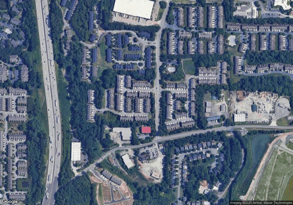
Map
Nearby Homes
- 4957 Warmstone Way SE Unit 15
- 4957 Warmstone Way SE
- 4901 Colchester Ct
- 2335 Portrush Way (Lot 26) Dr
- 4888 Colchester Ct SE Unit 163
- 2428 Bridlewood Dr Unit 24
- 2396 Whiteoak Bend SE Unit 16
- 5008 Whiteoak Pointe SE Unit 15
- 5080 Whiteoak Terrace SE
- 2432 Whiteoak Run Unit 20
- 2587 Alvecot Cir SE
- 2487 Bridlewood Dr Unit 9
- 2276 Whiteoak Dr SE
- 5233 Whiteoak Ave SE
- 3895 Old Atlanta Station Dr SE Unit 1
- 2591 Speer Ct SE
- 5013 Groover Dr SE
- 2335 Millhaven St SE
- 2329 Marion Walk Dr SE Unit 5
- 4652 Prater Way SE
- 5105 Kempsford Ct SE Unit 151
- 5105 Kempsford Ct SE
- 5101 Kempsford Unit 26
- 5101 Kempsford Unit 152
- 5113 Kempsford Ct SE
- 5113 Kempsford Ct SE Unit 26
- 5113 Kempsford
- 5113 Kempsford Unit 26
- 5113 Kempsford Unit 149
- 0 Kempsford Ct Unit 8810561
- 5117 Kempsford
- 5117 Kempsford
- 5117 Kempsford Unit 26
- 5117 Kempsford Ct
- 5104 Kempsford Ct Unit 27
- 5108 Kempsford
- 5108 Kempsford
- 5121 Kempsford Unit 147
- 5121 Kempsford
- 5121 Kempsford Unit 26