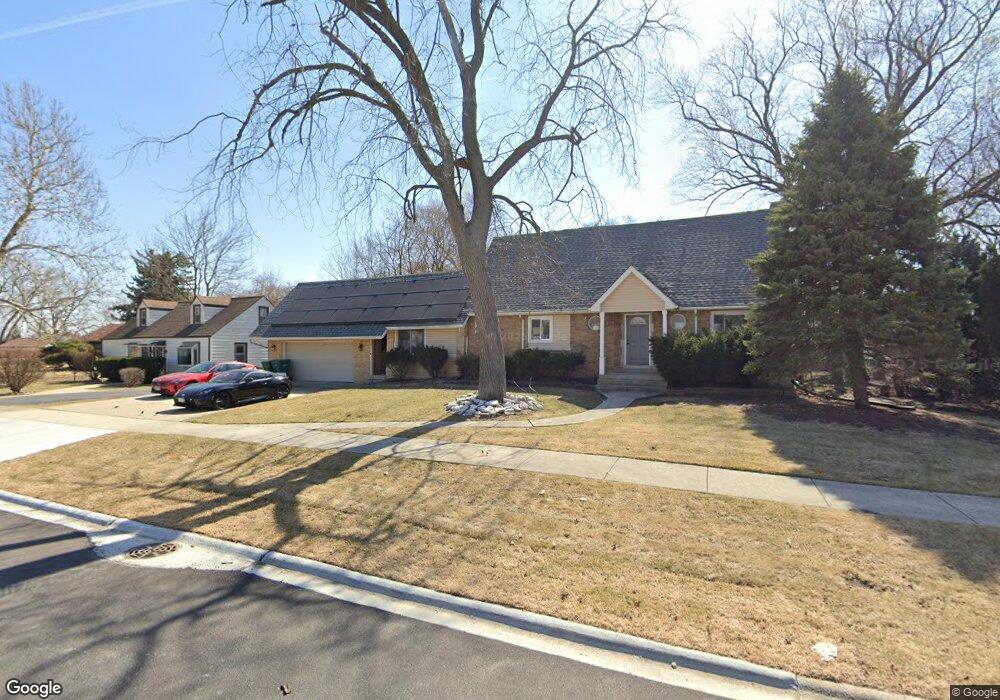
5107 W 82nd St Burbank, IL 60459
Estimated Value: $232,000 - $270,000
2
Beds
1
Bath
936
Sq Ft
$272/Sq Ft
Est. Value
About This Home
This home is located at 5107 W 82nd St, Burbank, IL 60459 and is currently estimated at $254,333, approximately $271 per square foot. 5107 W 82nd St is a home located in Cook County with nearby schools including Richard Byrd Elementary School, Reavis High School, and St Albert the Great Catholic School.
Ownership History
Date
Name
Owned For
Owner Type
Purchase Details
Closed on
Oct 14, 2020
Sold by
Plukarska Beata and Szczepaniak Andrzej
Bought by
Stafilas Petros and Rhoads Zachary J
Current Estimated Value
Home Financials for this Owner
Home Financials are based on the most recent Mortgage that was taken out on this home.
Original Mortgage
$321,100
Outstanding Balance
$289,198
Interest Rate
3.62%
Mortgage Type
New Conventional
Estimated Equity
-$34,865
Create a Home Valuation Report for This Property
The Home Valuation Report is an in-depth analysis detailing your home's value as well as a comparison with similar homes in the area
Home Values in the Area
Average Home Value in this Area
Purchase History
| Date | Buyer | Sale Price | Title Company |
|---|---|---|---|
| Stafilas Petros | $338,000 | Old Republic Title |
Source: Public Records
Mortgage History
| Date | Status | Borrower | Loan Amount |
|---|---|---|---|
| Open | Stafilas Petros | $321,100 |
Source: Public Records
Tax History Compared to Growth
Tax History
| Year | Tax Paid | Tax Assessment Tax Assessment Total Assessment is a certain percentage of the fair market value that is determined by local assessors to be the total taxable value of land and additions on the property. | Land | Improvement |
|---|---|---|---|---|
| 2024 | $3,258 | $10,500 | $5,689 | $4,811 |
| 2023 | $2,102 | $10,500 | $5,689 | $4,811 |
| 2022 | $2,102 | $7,160 | $4,913 | $2,247 |
| 2021 | $2,028 | $7,160 | $4,913 | $2,247 |
| 2020 | $2,549 | $7,160 | $4,913 | $2,247 |
| 2019 | $2,749 | $7,673 | $4,396 | $3,277 |
| 2018 | $2,671 | $7,673 | $4,396 | $3,277 |
| 2017 | $2,582 | $7,673 | $4,396 | $3,277 |
| 2016 | $2,361 | $6,702 | $3,620 | $3,082 |
| 2015 | $2,273 | $6,702 | $3,620 | $3,082 |
| 2014 | $2,205 | $6,702 | $3,620 | $3,082 |
| 2013 | $2,381 | $7,920 | $3,620 | $4,300 |
Source: Public Records
Map
Nearby Homes
- 5023 W 81st St
- 5116 W 79th St
- 5120 W 79th St
- 5002 W 79th St
- 7840 Leclaire Ave
- 5304 W 79th St
- 7814 Leamington Ave
- 7927 Lotus Ave
- 7829 Laporte Ave
- 8218 Linder Ave
- 7832 Lamon Ave
- 5400 W 85th St
- 8026 Linder Ave
- 8605 Leclaire Ave
- 7810 S Lockwood Ave
- 8100 S Kilpatrick Ave
- 8528 Lorel Ave
- 7714 Lawler Ave
- 7701 Latrobe Ave
- 7714 Lavergne Ave
- 5107 W 82nd St
- 5109 W 82nd St
- 5103 W 82nd St
- 8155 Leamington Ave
- 5100 W 82nd St
- 5125 W 82nd St
- 8200 Leclaire Ave
- 8115 Leamington Ave
- 5122 W 82nd Place
- 8148 Leclaire Ave
- 5126 W 82nd Place
- 5116 W 82nd Place
- 5129 W 82nd St
- 5128 W 82nd Place
- 5106 W 82nd Place
- 8111 Leamington Ave
- 5130 W 82nd Place
- 8140 Leclaire Ave
- 5145 W 82nd St