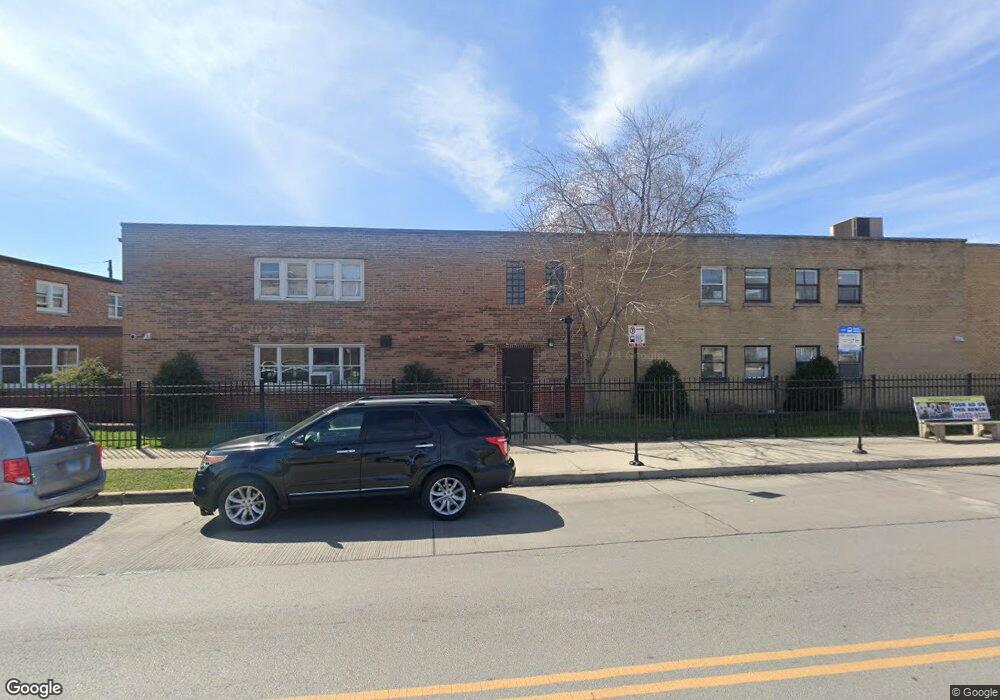
5107 W Jackson Blvd Chicago, IL 60644
Austin NeighborhoodEstimated Value: $2,514,122
Studio
--
Bath
--
Sq Ft
42,123
Sq Ft Lot
About This Home
This home is located at 5107 W Jackson Blvd, Chicago, IL 60644 and is currently estimated at $2,514,122. 5107 W Jackson Blvd is a home located in Cook County with nearby schools including Leland Elementary School, The Field School, and Alcuin Montessori School.
Ownership History
Date
Name
Owned For
Owner Type
Purchase Details
Closed on
Aug 16, 2023
Sold by
Zss Holding Company
Bought by
Jame Estates 2 Llc
Current Estimated Value
Purchase Details
Closed on
Jul 1, 2013
Sold by
Cm Llc
Bought by
255 Holding Co
Home Financials for this Owner
Home Financials are based on the most recent Mortgage that was taken out on this home.
Original Mortgage
$1,000,000
Interest Rate
6%
Mortgage Type
Commercial
Create a Home Valuation Report for This Property
The Home Valuation Report is an in-depth analysis detailing your home's value as well as a comparison with similar homes in the area
Home Values in the Area
Average Home Value in this Area
Purchase History
| Date | Buyer | Sale Price | Title Company |
|---|---|---|---|
| Jame Estates 2 Llc | $2,200,000 | None Listed On Document | |
| 255 Holding Co | $1,768,500 | None Available |
Source: Public Records
Mortgage History
| Date | Status | Borrower | Loan Amount |
|---|---|---|---|
| Previous Owner | 255 Holding Co | $1,000,000 |
Source: Public Records
Tax History
| Year | Tax Paid | Tax Assessment Tax Assessment Total Assessment is a certain percentage of the fair market value that is determined by local assessors to be the total taxable value of land and additions on the property. | Land | Improvement |
|---|---|---|---|---|
| 2025 | $240,987 | $1,531,500 | $136,965 | $1,394,535 |
| 2024 | $240,987 | $1,531,500 | $136,965 | $1,394,535 |
| 2023 | $205,939 | $1,142,176 | $110,626 | $1,031,550 |
| 2022 | $205,939 | $1,001,250 | $110,626 | $890,624 |
| 2021 | $229,681 | $1,142,173 | $110,625 | $1,031,548 |
| 2020 | $242,424 | $1,088,229 | $110,625 | $977,604 |
| 2019 | $218,639 | $1,088,229 | $110,625 | $977,604 |
| 2018 | $170,255 | $861,904 | $110,625 | $751,279 |
| 2017 | $217,542 | $1,010,557 | $86,919 | $923,638 |
| 2016 | $195,159 | $974,391 | $86,919 | $887,472 |
| 2015 | $199,665 | $1,089,601 | $86,919 | $1,002,682 |
| 2014 | $151,202 | $814,938 | $86,919 | $728,019 |
| 2013 | $103,280 | $567,865 | $86,919 | $480,946 |
Source: Public Records
Map
Nearby Homes
- 5100 W Quincy St
- 5046 W Jackson Blvd Unit C
- 5215 W Van Buren St
- 5068 W Congress Pkwy
- 5240 W Gladys Ave
- 5035 W Gladys Ave Unit C
- 5246 W Congress Pkwy
- 5317 W Van Buren St
- 4600 W Flournoy St
- 5055 W Madison St Unit 507
- 4913 W Jackson Blvd
- 4906 W Gladys Ave
- 4918 W Monroe St
- 4607 W Madison St
- 4935 W Monroe St
- 5417 W Van Buren St
- 1100 S Menard St
- 4855 W Jackson Blvd
- 351 - 355 S Cicero Ave
- 4845 W Congress Pkwy
- 5118 W Gladys Ave
- 5114 W Gladys Ave
- 5110 W Gladys Ave
- 5122 W Gladys Ave
- 5126 W Gladys Ave
- 5106 W Gladys Ave
- 325 S Laramie Ave
- 320 S Leamington Ave Unit 2A320
- 320 S Leamington Ave
- 5099 W Jackson Blvd
- 5098 W Gladys Ave
- 5093 W Jackson Blvd
- 5105 W Gladys Ave
- 5111 W Gladys Ave
- 5094 W Gladys Ave
- 5091 W Jackson Blvd
- 5127 W Gladys Ave
- 5127 W Gladys Ave
- 5119 W Gladys Ave
- 5117 W Gladys Ave
Your Personal Tour Guide
Ask me questions while you tour the home.