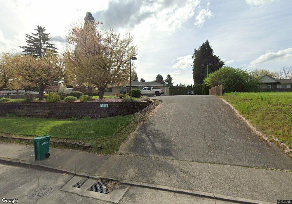
51081 Columbia River Hwy Scappoose, OR 97056
Estimated Value: $533,216 - $1,306,000
3
Beds
3
Baths
3,050
Sq Ft
$302/Sq Ft
Est. Value
About This Home
This home is located at 51081 Columbia River Hwy, Scappoose, OR 97056 and is currently estimated at $919,608, approximately $301 per square foot. 51081 Columbia River Hwy is a home located in Columbia County with nearby schools including Scappoose High School and Scappoose Adventist School.
Ownership History
Date
Name
Owned For
Owner Type
Purchase Details
Closed on
Mar 25, 2013
Sold by
Bma Holdings Llc
Bought by
High Tyme Enterprise Investments Inc
Current Estimated Value
Purchase Details
Closed on
Sep 7, 2012
Sold by
West Coast Bank
Bought by
Bma Holdings Llc
Purchase Details
Closed on
Dec 6, 2011
Sold by
Richards Brian
Bought by
West Coast Bank
Create a Home Valuation Report for This Property
The Home Valuation Report is an in-depth analysis detailing your home's value as well as a comparison with similar homes in the area
Home Values in the Area
Average Home Value in this Area
Purchase History
| Date | Buyer | Sale Price | Title Company |
|---|---|---|---|
| High Tyme Enterprise Investments Inc | $130,000 | None Available | |
| Bma Holdings Llc | $130,000 | Ticor Title | |
| West Coast Bank | $151,800 | Ticor Title |
Source: Public Records
Tax History Compared to Growth
Tax History
| Year | Tax Paid | Tax Assessment Tax Assessment Total Assessment is a certain percentage of the fair market value that is determined by local assessors to be the total taxable value of land and additions on the property. | Land | Improvement |
|---|---|---|---|---|
| 2025 | $4,949 | $300,570 | $141,890 | $158,680 |
| 2024 | $4,812 | $291,820 | $137,760 | $154,060 |
| 2023 | $4,767 | $283,330 | $139,220 | $144,110 |
| 2022 | $4,566 | $275,080 | $120,390 | $154,690 |
| 2021 | $4,435 | $267,070 | $131,900 | $135,170 |
| 2020 | $4,114 | $259,300 | $127,050 | $132,250 |
| 2019 | $4,006 | $251,750 | $123,352 | $128,398 |
| 2018 | $3,915 | $244,420 | $146,980 | $97,440 |
| 2017 | $3,844 | $237,310 | $142,710 | $94,600 |
| 2016 | $3,738 | $230,400 | $138,560 | $91,840 |
| 2015 | $2,669 | $169,880 | $95,230 | $74,650 |
| 2014 | $3,618 | $223,690 | $223,390 | $300 |
Source: Public Records
Map
Nearby Homes
- 51096 SW Klompen St
- 51096 SW Klompen St Unit H138
- 51086 SW Klompen St
- 51082 SW Klompen St
- 33340 SW Rokin Way
- 33366 SW Rokin Way
- 33362 SW Rokin Way
- 51350 SW Randstad St
- 33410 Meadowbrook Dr
- 51459 SE Westlake Dr Unit 102
- 51361 SE Hood View Dr Unit 139
- 50551 Bark Way Unit 47
- 33298 SW Meadowbrook Dr
- 33279 SW Havlik Dr
- 51540 SE Westlake Dr
- Hillsdale Plan at Dutch Canyon
- Aubrey Plan at Dutch Canyon
- Carmichael Plan at Dutch Canyon
- Carlton Plan at Dutch Canyon
- 51692 SE 3rd St
- 51106 SW Old Portland Rd
- 51028 SW Old Portland Rd
- 51048 SW Old Portland Rd
- 51136 SW Old Portland Rd
- 51084 SW Old Portland Rd
- 51068 SW Old Portland Rd
- 51000 SW Old Portland Rd
- 51132 SW Old Portland Rd
- Tbd Sw Rokin Way
- 50986 SW Old Portland Rd
- 51184 SW Old Portland Rd
- 51120 SW Rembrandt Dr
- 51128 SW Rembrandt Dr
- 51140 SW Rembrandt Dr
- 51031 SW Old Portland Rd
- 33442 SW Windmill Place
- 51168 SW Old Portland Rd
- 51142 SW Rembrandt Dr
- 51150 SW Rembrandt Dr
- 33436 SW Windmill Place