51091 State Highway 13 Waterville, MN 56096
Estimated Value: $469,000 - $589,000
3
Beds
3
Baths
1,716
Sq Ft
$295/Sq Ft
Est. Value
About This Home
This home is located at 51091 State Highway 13, Waterville, MN 56096 and is currently estimated at $506,667, approximately $295 per square foot. 51091 State Highway 13 is a home located in Le Sueur County with nearby schools including Waterville Elementary School, Morristown Elementary School, and Waterville-Elysian-Morristown Junior High School.
Ownership History
Date
Name
Owned For
Owner Type
Purchase Details
Closed on
Aug 10, 2015
Sold by
Masberg Judith Judith
Bought by
Atherton Corey Corey
Current Estimated Value
Home Financials for this Owner
Home Financials are based on the most recent Mortgage that was taken out on this home.
Original Mortgage
$270,000
Interest Rate
3.91%
Create a Home Valuation Report for This Property
The Home Valuation Report is an in-depth analysis detailing your home's value as well as a comparison with similar homes in the area
Home Values in the Area
Average Home Value in this Area
Purchase History
| Date | Buyer | Sale Price | Title Company |
|---|---|---|---|
| Atherton Corey Corey | $270,000 | -- |
Source: Public Records
Mortgage History
| Date | Status | Borrower | Loan Amount |
|---|---|---|---|
| Previous Owner | Atherton Corey Corey | $270,000 |
Source: Public Records
Tax History Compared to Growth
Tax History
| Year | Tax Paid | Tax Assessment Tax Assessment Total Assessment is a certain percentage of the fair market value that is determined by local assessors to be the total taxable value of land and additions on the property. | Land | Improvement |
|---|---|---|---|---|
| 2025 | $3,732 | $426,300 | $150,000 | $276,300 |
| 2024 | $3,510 | $414,400 | $150,000 | $264,400 |
| 2023 | $3,402 | $400,800 | $145,000 | $255,800 |
| 2022 | $3,166 | $369,400 | $137,000 | $232,400 |
| 2021 | $3,302 | $299,100 | $117,000 | $182,100 |
| 2020 | $3,218 | $301,200 | $117,000 | $184,200 |
| 2019 | $3,140 | $281,700 | $112,641 | $169,059 |
| 2018 | $3,125 | $263,200 | $111,736 | $151,464 |
| 2017 | $2,469 | $235,900 | $102,606 | $133,294 |
| 2016 | $2,462 | $232,100 | $97,687 | $134,413 |
| 2015 | $2,447 | $232,100 | $97,687 | $134,413 |
| 2014 | -- | $0 | $0 | $0 |
| 2013 | $2,260 | $243,300 | $98,303 | $144,997 |
Source: Public Records
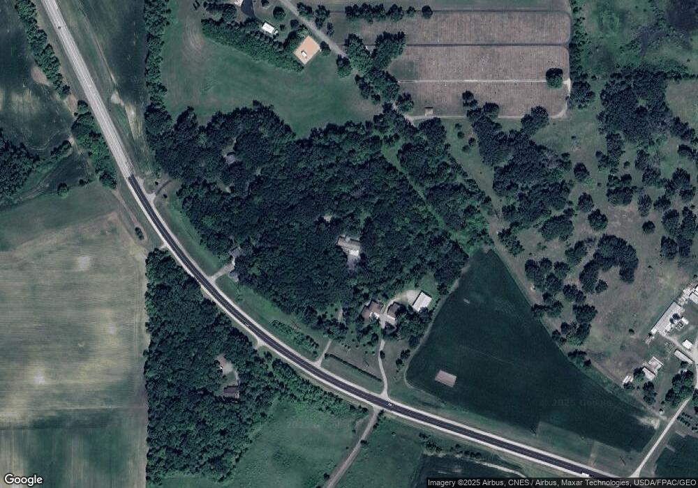
Map
Nearby Homes
- 14340 Minnesota 60
- 14340 State Highway 60
- XXXX Southridge Ln
- 212 2nd St S
- 130 1st St N
- 114 Reed St S
- 102 Buchannon St S
- 617 1st St N
- 705 1st St N
- 730 1st St N
- Open Lot Browers St E
- 902 Marion St
- 921 Lillian St
- 13262 Sakatah Lake Rd
- 810 N Shore Dr
- TBD Kent Ave
- 42156 120th St
- 49279 Sportsmans Ln
- 49189 Sportsmans Ln
- 425 W Franklin St
- 51125 State Highway 13
- 51033 State Highway 13
- 50995 State Highway 13
- 51070 State Highway 13
- 881 Sakatah Cemetary Ln
- 881 Sakatah Cemetary Ln
- 51124 State Highway 13
- 51237 State Highway 13
- XXX Sakatah Cemetery
- 16113 16113 State Highway 60
- 919 Benton St
- 811 E Benton St
- 51250 State Highway 13
- 811 811 Benton St
- 621 Silver St
- 615 615 Silver
- 615 615 Silver-Street-s
- 615 Silver St
- 611 Silver St
- 530 Summit St