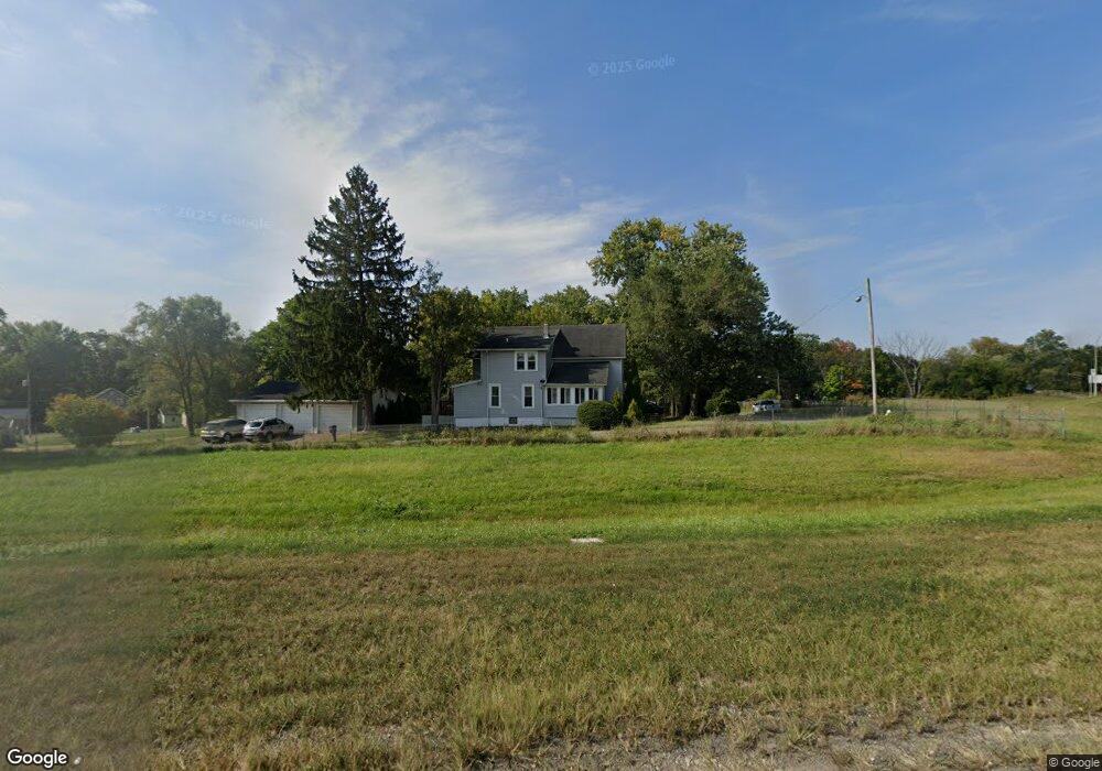
511 Arnold Ave Mansfield, OH 44903
Estimated Value: $63,000 - $134,000
5
Beds
2
Baths
1,536
Sq Ft
$69/Sq Ft
Est. Value
About This Home
This home is located at 511 Arnold Ave, Mansfield, OH 44903 and is currently estimated at $105,961, approximately $68 per square foot. 511 Arnold Ave is a home located in Richland County with nearby schools including Foundation Academy, Mansfield Elective Academy, and Interactive Media & Construction (IMAC) Academy.
Ownership History
Date
Name
Owned For
Owner Type
Purchase Details
Closed on
Oct 24, 1996
Sold by
Malas Ernie
Bought by
Clay Donald E
Current Estimated Value
Home Financials for this Owner
Home Financials are based on the most recent Mortgage that was taken out on this home.
Original Mortgage
$30,600
Interest Rate
7.84%
Mortgage Type
New Conventional
Purchase Details
Closed on
Apr 12, 1994
Sold by
Newlon Lillian M
Bought by
Malas Ernie
Purchase Details
Closed on
Jan 1, 1986
Create a Home Valuation Report for This Property
The Home Valuation Report is an in-depth analysis detailing your home's value as well as a comparison with similar homes in the area
Home Values in the Area
Average Home Value in this Area
Purchase History
| Date | Buyer | Sale Price | Title Company |
|---|---|---|---|
| Clay Donald E | $34,000 | -- | |
| Malas Ernie | $30,000 | -- | |
| -- | $15,000 | -- |
Source: Public Records
Mortgage History
| Date | Status | Borrower | Loan Amount |
|---|---|---|---|
| Closed | Clay Donald E | $30,600 |
Source: Public Records
Tax History
| Year | Tax Paid | Tax Assessment Tax Assessment Total Assessment is a certain percentage of the fair market value that is determined by local assessors to be the total taxable value of land and additions on the property. | Land | Improvement |
|---|---|---|---|---|
| 2024 | $601 | $23,730 | $3,290 | $20,440 |
| 2023 | $652 | $23,730 | $3,290 | $20,440 |
| 2022 | $587 | $19,250 | $2,990 | $16,260 |
| 2021 | $1,083 | $19,250 | $2,990 | $16,260 |
| 2020 | $1,107 | $19,250 | $2,990 | $16,260 |
| 2019 | $1,227 | $19,250 | $2,990 | $16,260 |
| 2018 | $1,211 | $19,250 | $2,990 | $16,260 |
| 2017 | $1,218 | $19,250 | $2,990 | $16,260 |
| 2016 | $1,258 | $19,930 | $4,270 | $15,660 |
| 2015 | $1,201 | $19,930 | $4,270 | $15,660 |
| 2014 | $1,186 | $19,930 | $4,270 | $15,660 |
| 2012 | $475 | $20,970 | $4,490 | $16,480 |
Source: Public Records
Map
Nearby Homes
- 0 Highway 30
- 572 France St
- 701 Springmill St
- 480 Mcpherson St
- 492 Stark St
- 0 State Route 314 Unit 9069650
- 688 Mcpherson St
- 0 Voegele Ave Unit Lot 6048, 6049, 6
- 739 Armstrong St
- 0 Lemley Ave Unit 9070540
- 641 Averill Ave
- 524 Lida St
- 230 Rae Ave
- 368 W 6th St
- 212 Penn Ave
- 580 N Mulberry St
- 118 Raymond Ave
- 891 Springmill Rd
- 458 W West Dickson Ave
- 81 Penn Ave
Your Personal Tour Guide
Ask me questions while you tour the home.