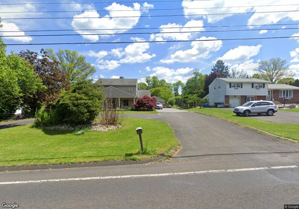
511 Buck Rd Southampton, PA 18966
Estimated Value: $478,000 - $534,000
3
Beds
3
Baths
1,360
Sq Ft
$378/Sq Ft
Est. Value
About This Home
This home is located at 511 Buck Rd, Southampton, PA 18966 and is currently estimated at $514,755, approximately $378 per square foot. 511 Buck Rd is a home located in Bucks County with nearby schools including Holland Elementary School, Holland Middle School, and Council Rock High School - South.
Ownership History
Date
Name
Owned For
Owner Type
Purchase Details
Closed on
May 29, 2025
Sold by
Jacqueline Bonasch Revocable Living Trus and Bonasch Matthew R
Bought by
Bonasch Matthew R and Bonasch Andrew K
Current Estimated Value
Purchase Details
Closed on
May 28, 2008
Sold by
Bonasch Jacqueline I and Bonasch Jacqueline
Bought by
Bonasch Jacqueline I
Purchase Details
Closed on
Sep 9, 2004
Sold by
Bonasch Ronald Karl and Bonasch Jacqueline
Bought by
Bonasch Jacqueline
Create a Home Valuation Report for This Property
The Home Valuation Report is an in-depth analysis detailing your home's value as well as a comparison with similar homes in the area
Home Values in the Area
Average Home Value in this Area
Purchase History
| Date | Buyer | Sale Price | Title Company |
|---|---|---|---|
| Bonasch Matthew R | -- | Accommodation/Courtesy Recordi | |
| Bonasch Jacqueline I | -- | None Available | |
| Bonasch Jacqueline | -- | -- |
Source: Public Records
Tax History Compared to Growth
Tax History
| Year | Tax Paid | Tax Assessment Tax Assessment Total Assessment is a certain percentage of the fair market value that is determined by local assessors to be the total taxable value of land and additions on the property. | Land | Improvement |
|---|---|---|---|---|
| 2025 | $5,162 | $26,800 | $6,120 | $20,680 |
| 2024 | $5,162 | $26,800 | $6,120 | $20,680 |
| 2023 | $4,865 | $26,800 | $6,120 | $20,680 |
| 2022 | $4,820 | $26,800 | $6,120 | $20,680 |
| 2021 | $4,668 | $26,800 | $6,120 | $20,680 |
| 2020 | $4,563 | $26,800 | $6,120 | $20,680 |
| 2019 | $4,368 | $26,800 | $6,120 | $20,680 |
| 2018 | $4,290 | $26,800 | $6,120 | $20,680 |
| 2017 | $4,124 | $26,800 | $6,120 | $20,680 |
| 2016 | $4,124 | $26,800 | $6,120 | $20,680 |
| 2015 | -- | $26,800 | $6,120 | $20,680 |
| 2014 | -- | $26,800 | $6,120 | $20,680 |
Source: Public Records
Map
Nearby Homes
- 131 Rocksville Rd
- 270 Rocksville Rd
- 258 Woodlake Dr
- 537 Ashton Cir
- 100 E Holland Rd
- 527 Ashton Cir
- 6 Rolling Hills Dr
- 29 Langhorne Ave
- 178 Buckshire Dr
- 41 Grant Dr
- 518 Pebble Ridge Ct
- 415 Fox Hollow Dr
- 428 Fox Hollow Dr
- 1502 Chinquapin Rd
- 1 Falcon Dr Unit 203
- 31 W Bellwood Dr
- 15 Penn Cir
- 2 Falcon Dr Unit 202
- 853 Green Ridge Cir
- 862 Green Ridge Cir