Estimated Value: $431,000 - $737,508
3
Beds
3
Baths
3,659
Sq Ft
$156/Sq Ft
Est. Value
About This Home
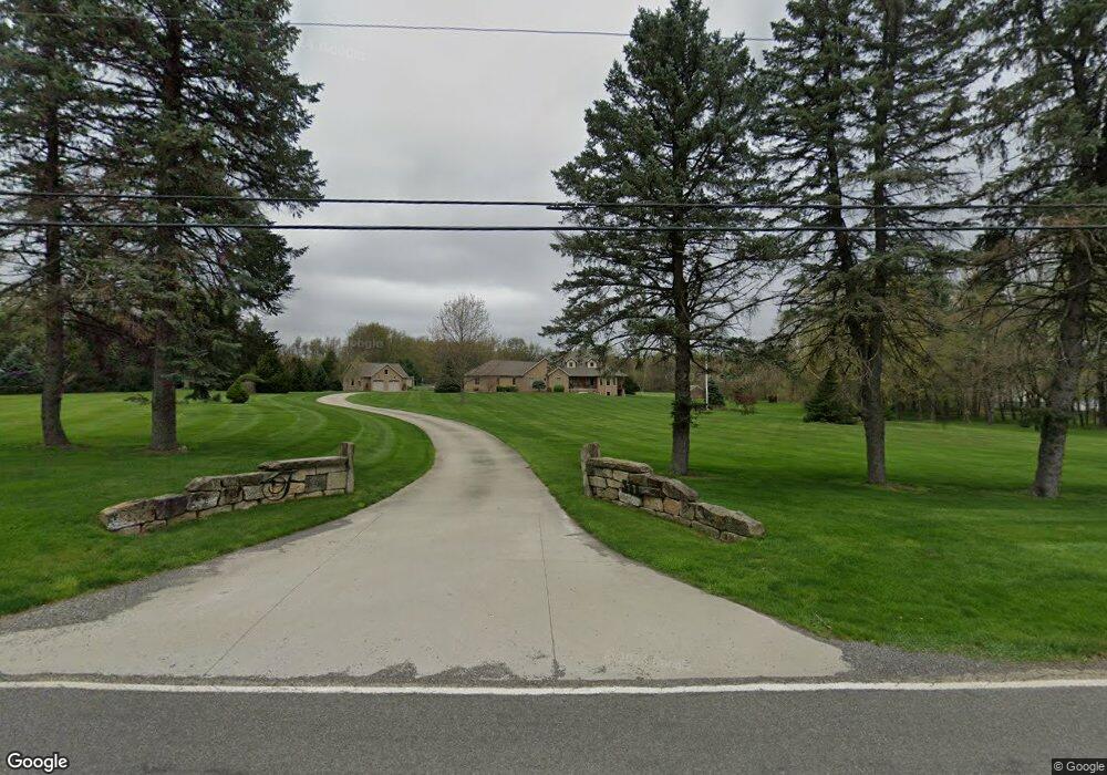
This home is located at 511 Howe Rd, Kent, OH 44240 and is currently estimated at $570,377, approximately $155 per square foot. 511 Howe Rd is a home located in Portage County with nearby schools including Brimfield Elementary School, Field Middle School, and Field High School.
Ownership History
Date
Name
Owned For
Owner Type
Purchase Details
Closed on
Sep 19, 2014
Sold by
Titko Donald E and Titko Patricia J
Bought by
Titko Donald E and Titko Patricia J
Current Estimated Value
Purchase Details
Closed on
Dec 18, 2000
Sold by
Estate Of Frank A Stahl
Bought by
Stahl Margie A and Makhani Beverly
Purchase Details
Closed on
Oct 1, 1986
Bought by
Stahl Frank A
Create a Home Valuation Report for This Property
The Home Valuation Report is an in-depth analysis detailing your home's value as well as a comparison with similar homes in the area
Home Values in the Area
Average Home Value in this Area
Purchase History
| Date | Buyer | Sale Price | Title Company |
|---|---|---|---|
| Titko Donald E | -- | None Available | |
| Stahl Margie A | -- | -- | |
| Stahl Frank A | $41,000 | -- |
Source: Public Records
Tax History
| Year | Tax Paid | Tax Assessment Tax Assessment Total Assessment is a certain percentage of the fair market value that is determined by local assessors to be the total taxable value of land and additions on the property. | Land | Improvement |
|---|---|---|---|---|
| 2025 | $11,719 | $244,860 | $52,360 | $192,500 |
| 2024 | $11,524 | $244,860 | $52,360 | $192,500 |
| 2023 | $11,142 | $190,790 | $32,730 | $158,060 |
| 2022 | $11,174 | $190,790 | $32,730 | $158,060 |
| 2021 | $10,938 | $190,790 | $32,730 | $158,060 |
| 2020 | $9,629 | $150,680 | $32,730 | $117,950 |
| 2019 | $9,478 | $150,680 | $32,730 | $117,950 |
| 2018 | $7,450 | $139,090 | $35,910 | $103,180 |
| 2017 | $7,450 | $139,090 | $35,910 | $103,180 |
| 2016 | $7,422 | $139,090 | $35,910 | $103,180 |
| 2015 | $7,205 | $139,090 | $35,910 | $103,180 |
| 2014 | $6,862 | $139,090 | $35,910 | $103,180 |
| 2013 | $6,672 | $134,300 | $31,120 | $103,180 |
Source: Public Records
Map
Nearby Homes
- 4595 Creekside Dr
- 0 Progress Blvd Unit LotWP001
- 32 Picadilly Ct
- 146 Reserve Dr
- 4545 State Route 43
- 0 Middlebury Rd
- 124 Tallmadge Rd
- 1233 Cedar Ridge Rd
- 5096 Spruce Knoll Run
- 112 Tallmadge Rd
- 1079 Carol Ln
- 726 Hughey Dr
- 410 Beryl Dr
- 5088 Spruce Knoll Run
- 3929 Lor Ron St
- 1302 Walnut St
- 4360 Beal Dr
- 294 Milton Dr
- 0 Meloy Rd Unit 5162435
- 1204 Franklin Ave
Your Personal Tour Guide
Ask me questions while you tour the home.