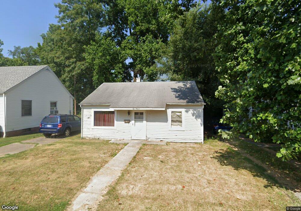
511 Illini Ct Springfield, IL 62704
Historic West Side NeighborhoodEstimated Value: $83,000 - $121,000
2
Beds
1
Bath
700
Sq Ft
$142/Sq Ft
Est. Value
About This Home
This home is located at 511 Illini Ct, Springfield, IL 62704 and is currently estimated at $99,086, approximately $141 per square foot. 511 Illini Ct is a home located in Sangamon County with nearby schools including Dubois Elementary School, U.S. Grant Middle School, and Springfield High School.
Ownership History
Date
Name
Owned For
Owner Type
Purchase Details
Closed on
Jul 26, 2021
Sold by
Sutzer Nancy
Bought by
Sutzer Nancy and Sutzer Jeffrey S
Current Estimated Value
Home Financials for this Owner
Home Financials are based on the most recent Mortgage that was taken out on this home.
Original Mortgage
$32,599
Interest Rate
3.63%
Mortgage Type
FHA
Purchase Details
Closed on
Aug 21, 2012
Purchase Details
Closed on
Jul 15, 2008
Create a Home Valuation Report for This Property
The Home Valuation Report is an in-depth analysis detailing your home's value as well as a comparison with similar homes in the area
Home Values in the Area
Average Home Value in this Area
Purchase History
| Date | Buyer | Sale Price | Title Company |
|---|---|---|---|
| Sutzer Nancy | -- | Amrock | |
| -- | -- | -- | |
| -- | $46,800 | -- |
Source: Public Records
Mortgage History
| Date | Status | Borrower | Loan Amount |
|---|---|---|---|
| Previous Owner | Sutzer Nancy | $32,599 |
Source: Public Records
Tax History
| Year | Tax Paid | Tax Assessment Tax Assessment Total Assessment is a certain percentage of the fair market value that is determined by local assessors to be the total taxable value of land and additions on the property. | Land | Improvement |
|---|---|---|---|---|
| 2024 | $1,556 | $18,529 | $4,761 | $13,768 |
| 2023 | $1,496 | $16,925 | $4,349 | $12,576 |
| 2022 | $1,439 | $16,054 | $4,125 | $11,929 |
| 2021 | $1,391 | $15,453 | $3,971 | $11,482 |
| 2020 | $1,363 | $15,476 | $3,977 | $11,499 |
| 2019 | $1,338 | $15,422 | $3,963 | $11,459 |
| 2018 | $1,297 | $15,347 | $3,944 | $11,403 |
| 2017 | $1,270 | $15,149 | $3,893 | $11,256 |
| 2016 | $1,245 | $14,928 | $3,836 | $11,092 |
| 2015 | $1,233 | $14,749 | $3,790 | $10,959 |
| 2014 | $674 | $14,654 | $3,766 | $10,888 |
| 2013 | $659 | $14,137 | $3,766 | $10,371 |
Source: Public Records
Map
Nearby Homes
- 342 S Douglas Ave
- 545 S Lincoln Ave
- 615 S English Ave
- 709 S Douglas Ave
- 215 S Macarthur Blvd
- 423 S Adelia St
- 1316 W Lawrence Ave
- 817 S Park Ave
- 318 S State St
- 112 N Macarthur Blvd
- 1125 Williams Blvd
- 631 W Edwards St
- 236 N English Ave
- 221 N State St
- 235 N Illinois St
- 1037 W Woodland Ave
- 700 W Jefferson St
- 1020 S Macarthur Blvd
- 259 N Columbia Ave
- 121 N Parker Ave
- 509 Illini Ct
- 515 Illini Ct
- 507 Illini Ct
- 517 Illini Ct
- 505 Illini Ct
- 508 Illini Ct
- 519 Illini Ct
- 524 S Lincoln Ave
- 512 S Lincoln Ave
- 521 Illini Ct
- 516 S Lincoln Ave
- 530 S Lincoln Ave
- 514 S Lincoln Ave
- 526 S Lincoln Ave
- 532 S Lincoln Ave
- 536 S Lincoln Ave
- 1140 Governor St
- 540 S Lincoln Ave
- 525 S Douglas Ave
- 521 S Douglas Ave
Your Personal Tour Guide
Ask me questions while you tour the home.