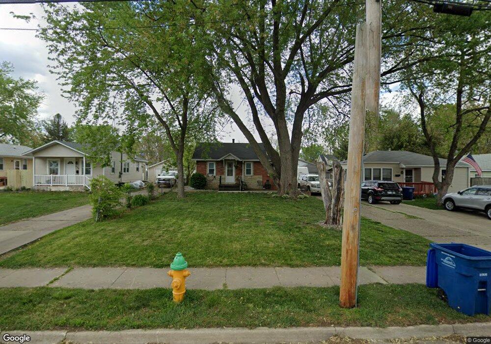
511 Leach Ave Des Moines, IA 50315
Watrous Heights NeighborhoodEstimated Value: $106,000 - $124,985
1
Bed
2
Baths
522
Sq Ft
$222/Sq Ft
Est. Value
About This Home
This home is located at 511 Leach Ave, Des Moines, IA 50315 and is currently estimated at $115,746, approximately $221 per square foot. 511 Leach Ave is a home located in Polk County with nearby schools including South Union Elementary School, Brody Middle School, and Lincoln High School.
Ownership History
Date
Name
Owned For
Owner Type
Purchase Details
Closed on
Dec 1, 2009
Sold by
Willcockson Tim
Bought by
Flood Nicholle M
Current Estimated Value
Home Financials for this Owner
Home Financials are based on the most recent Mortgage that was taken out on this home.
Original Mortgage
$27,858
Outstanding Balance
$18,209
Interest Rate
5.02%
Mortgage Type
New Conventional
Estimated Equity
$97,537
Purchase Details
Closed on
Jul 31, 2009
Sold by
Woodyard Shannon L and Woodyard James
Bought by
Estate Of Mary Morgan
Purchase Details
Closed on
Jun 14, 2000
Sold by
Morgan Mary M
Bought by
Morgan Mary M and Woodyard Shannon L
Create a Home Valuation Report for This Property
The Home Valuation Report is an in-depth analysis detailing your home's value as well as a comparison with similar homes in the area
Home Values in the Area
Average Home Value in this Area
Purchase History
| Date | Buyer | Sale Price | Title Company |
|---|---|---|---|
| Flood Nicholle M | $29,500 | Itc | |
| Estate Of Mary Morgan | -- | None Available | |
| Morgan Mary M | -- | -- |
Source: Public Records
Mortgage History
| Date | Status | Borrower | Loan Amount |
|---|---|---|---|
| Open | Flood Nicholle M | $27,858 |
Source: Public Records
Tax History Compared to Growth
Tax History
| Year | Tax Paid | Tax Assessment Tax Assessment Total Assessment is a certain percentage of the fair market value that is determined by local assessors to be the total taxable value of land and additions on the property. | Land | Improvement |
|---|---|---|---|---|
| 2025 | $1,950 | $124,300 | $33,200 | $91,100 |
| 2024 | $1,950 | $109,600 | $28,900 | $80,700 |
| 2023 | $1,878 | $109,600 | $28,900 | $80,700 |
| 2022 | $1,862 | $88,600 | $23,800 | $64,800 |
| 2021 | $1,864 | $88,600 | $23,800 | $64,800 |
| 2020 | $1,932 | $83,300 | $22,300 | $61,000 |
| 2019 | $1,782 | $83,300 | $22,300 | $61,000 |
| 2018 | $1,758 | $74,800 | $19,500 | $55,300 |
| 2017 | $1,672 | $74,800 | $19,500 | $55,300 |
| 2016 | $1,622 | $70,300 | $18,000 | $52,300 |
| 2015 | $1,622 | $70,300 | $18,000 | $52,300 |
| 2014 | $1,792 | $70,000 | $17,500 | $52,500 |
Source: Public Records
Map
Nearby Homes
- 606 Marion St
- 4204 SW 7th St
- 3903 SW 9th St
- 518 Maxwelton Dr
- 515 Emma Ave
- 3634 SW 4th St
- 612 Emma Ave
- 410 Thornton Ave
- 3618 SW 9th St
- 3605 SW 9th St
- 915 Wolcott Ave
- . Herold Ave
- 930 Emma Ave
- 304 Herold Ave
- 4108 SW 12th St
- 4020 SW 12th St
- 117 E Watrous Ave
- 3503 SW 2nd St
- 108 E Philip St
- 3824 SW 12th St