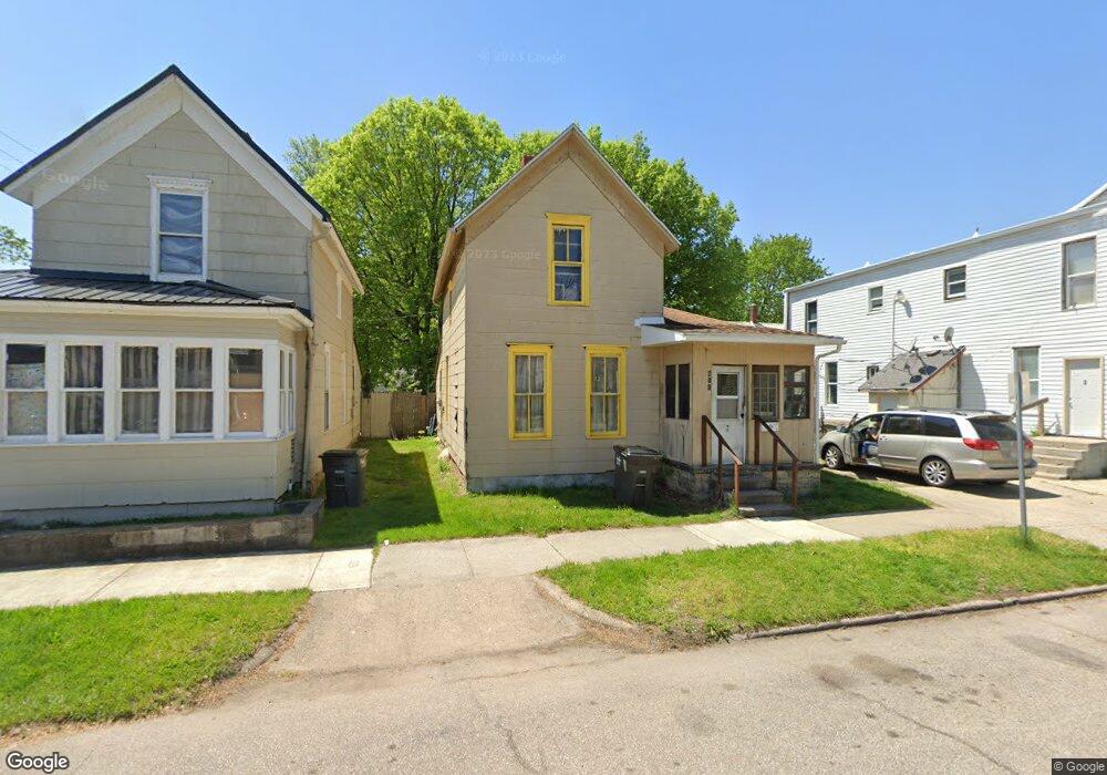
511 S 5th St Elkhart, IN 46516
West Central NeighborhoodEstimated Value: $82,000 - $144,000
3
Beds
1
Bath
1,325
Sq Ft
$79/Sq Ft
Est. Value
About This Home
This home is located at 511 S 5th St, Elkhart, IN 46516 and is currently estimated at $104,894, approximately $79 per square foot. 511 S 5th St is a home located in Elkhart County with nearby schools including Beardsley Elementary School, North Side Middle School, and Elkhart High School's Freshman Division.
Ownership History
Date
Name
Owned For
Owner Type
Purchase Details
Closed on
Mar 29, 2023
Sold by
Arroyo Fonda K
Bought by
Washburn Michael
Current Estimated Value
Purchase Details
Closed on
May 20, 2022
Sold by
Max Richard L
Bought by
Baker Diana L
Purchase Details
Closed on
May 12, 2022
Sold by
Max Richard L
Bought by
Baker Diana L
Purchase Details
Closed on
Nov 4, 2019
Sold by
Max Deloris C
Bought by
Max Richard L
Purchase Details
Closed on
Jul 9, 2012
Sold by
Max Richard L
Bought by
Washburn Michael and Slack Cary R
Purchase Details
Closed on
Jan 3, 2012
Sold by
Deutsche Bank National Trust Co
Bought by
Max Richard L and Max Deloris C
Create a Home Valuation Report for This Property
The Home Valuation Report is an in-depth analysis detailing your home's value as well as a comparison with similar homes in the area
Home Values in the Area
Average Home Value in this Area
Purchase History
| Date | Buyer | Sale Price | Title Company |
|---|---|---|---|
| Washburn Michael | $10,000 | None Listed On Document | |
| Baker Diana L | -- | None Listed On Document | |
| Baker Diana L | -- | None Listed On Document | |
| Max Richard L | -- | None Listed On Document | |
| Washburn Michael | $52,000 | None Available | |
| Max Richard L | -- | None Available |
Source: Public Records
Tax History Compared to Growth
Tax History
| Year | Tax Paid | Tax Assessment Tax Assessment Total Assessment is a certain percentage of the fair market value that is determined by local assessors to be the total taxable value of land and additions on the property. | Land | Improvement |
|---|---|---|---|---|
| 2024 | $303 | $37,500 | $2,700 | $34,800 |
| 2022 | $314 | $41,800 | $8,400 | $33,400 |
| 2021 | $727 | $39,600 | $8,400 | $31,200 |
| 2020 | $386 | $39,600 | $8,400 | $31,200 |
| 2019 | $720 | $32,400 | $8,400 | $24,000 |
| 2018 | $404 | $40,300 | $8,400 | $31,900 |
| 2017 | $391 | $37,600 | $8,400 | $29,200 |
| 2016 | $379 | $36,700 | $8,400 | $28,300 |
| 2014 | $340 | $34,500 | $8,400 | $26,100 |
| 2013 | $371 | $36,300 | $8,400 | $27,900 |
Source: Public Records
Map
Nearby Homes
- 607 W Marion St
- 419 W High St
- 311 Hillside Ct
- 721 Harrison St
- 529 S 2nd St
- 301 W Jackson Blvd
- 154 N 6th St
- 302 W Jackson Blvd
- 226/228 & 230 W Jackson St
- 1011 Benham Ct
- 1007 Mason St
- 207 N 2nd St
- 225 W Washington St
- 100 S Michigan St
- TBD W Washington St
- 726 W Lexington Ave
- 1301 Harrison St
- 709 Strong Ave
- 1309 Harrison St
- 421 W Garfield Ave