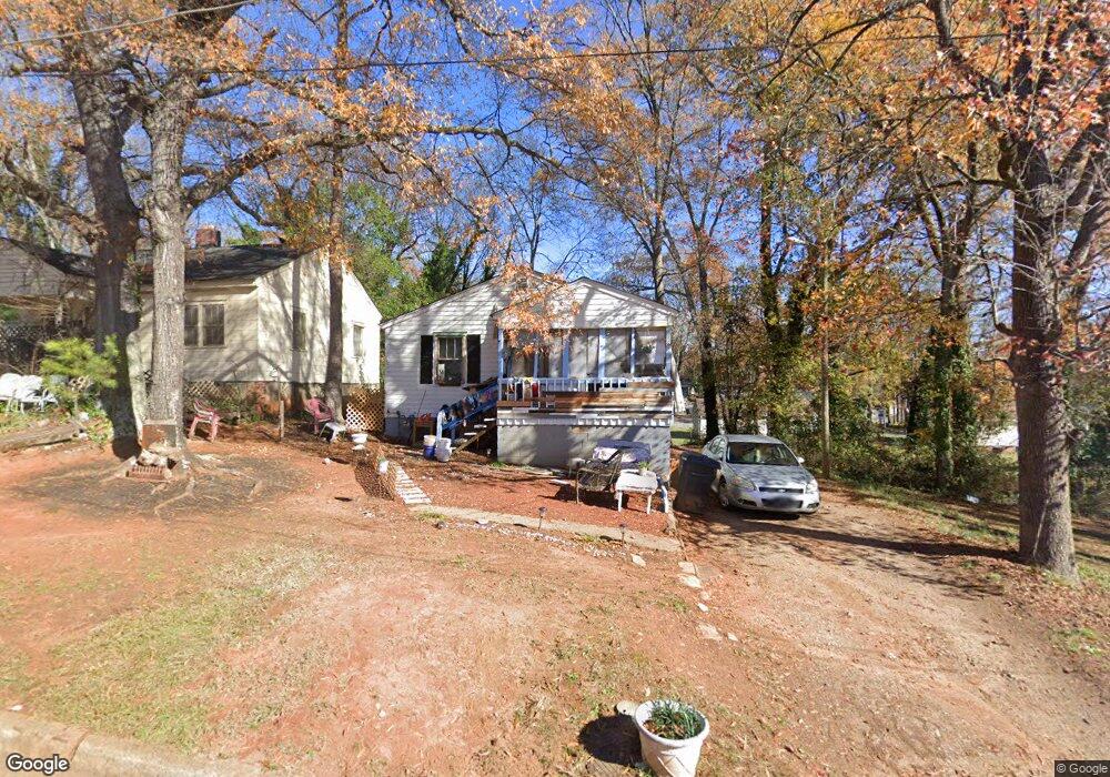
511 Smith St Anderson, SC 29624
Estimated Value: $42,000 - $75,000
--
Bed
--
Bath
736
Sq Ft
$74/Sq Ft
Est. Value
About This Home
This home is located at 511 Smith St, Anderson, SC 29624 and is currently estimated at $54,301, approximately $73 per square foot. 511 Smith St is a home located in Anderson County with nearby schools including New Prospect Elementary School, Robert Anderson Middle School, and Westside High School.
Ownership History
Date
Name
Owned For
Owner Type
Purchase Details
Closed on
Feb 5, 2025
Sold by
Albert Timothy
Bought by
Murphy Christopher Allen
Current Estimated Value
Purchase Details
Closed on
Oct 23, 2019
Sold by
Prince L J
Bought by
Albert Timothy
Home Financials for this Owner
Home Financials are based on the most recent Mortgage that was taken out on this home.
Original Mortgage
$11,000
Interest Rate
3.6%
Mortgage Type
Purchase Money Mortgage
Purchase Details
Closed on
Jan 2, 2006
Sold by
Northside Developers
Bought by
Prince L J
Create a Home Valuation Report for This Property
The Home Valuation Report is an in-depth analysis detailing your home's value as well as a comparison with similar homes in the area
Home Values in the Area
Average Home Value in this Area
Purchase History
| Date | Buyer | Sale Price | Title Company |
|---|---|---|---|
| Murphy Christopher Allen | $43,000 | None Listed On Document | |
| Albert Timothy | $7,500 | None Available | |
| Prince L J | $12,500 | None Available |
Source: Public Records
Mortgage History
| Date | Status | Borrower | Loan Amount |
|---|---|---|---|
| Previous Owner | Albert Timothy | $11,000 |
Source: Public Records
Tax History Compared to Growth
Tax History
| Year | Tax Paid | Tax Assessment Tax Assessment Total Assessment is a certain percentage of the fair market value that is determined by local assessors to be the total taxable value of land and additions on the property. | Land | Improvement |
|---|---|---|---|---|
| 2024 | $448 | $900 | $300 | $600 |
| 2023 | $448 | $900 | $300 | $600 |
| 2022 | $412 | $900 | $300 | $600 |
| 2021 | $386 | $720 | $210 | $510 |
| 2020 | $379 | $720 | $210 | $510 |
| 2019 | $379 | $720 | $210 | $510 |
| 2018 | $376 | $720 | $210 | $510 |
| 2017 | -- | $720 | $210 | $510 |
| 2016 | $390 | $770 | $210 | $560 |
| 2015 | $390 | $770 | $210 | $560 |
| 2014 | $382 | $770 | $210 | $560 |
Source: Public Records
Map
Nearby Homes
- 404 Montague St
- 720 722 Gary St
- 1105 W Franklin St
- 00 Ila St
- 00 W Franklin St
- 0 W Franklin St
- 701 Delia St
- 701 Delia St Unit B
- 701 Delia St Unit A
- 719 Dora Dr
- 902 W Market St
- 0 W Reed St
- 428 W Reed St Unit A&B
- 424 W Reed St Unit A&B
- 426 W Reed St Unit A&B
- 422 W Reed St Unit A&B
- 111 Maxwell Ave
- 1103 Scott Dr
- Lot 1 & 2 W Market St
- 107 Brown St