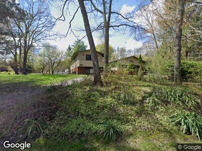
5113 Wah-Ta-wah Clarkston, MI 48348
Estimated Value: $347,284 - $375,000
4
Beds
3
Baths
2,121
Sq Ft
$170/Sq Ft
Est. Value
About This Home
This home is located at 5113 Wah-Ta-wah, Clarkston, MI 48348 and is currently estimated at $361,321, approximately $170 per square foot. 5113 Wah-Ta-wah is a home located in Oakland County with nearby schools including Everest Academy.
Ownership History
Date
Name
Owned For
Owner Type
Purchase Details
Closed on
Mar 3, 2010
Sold by
Oberlin William H and Edens Lori
Bought by
Oberlin William H and Edens Lori
Current Estimated Value
Purchase Details
Closed on
Mar 2, 2010
Sold by
Taylor Tommie L and Taylor Amanda K
Bought by
Oberlin William H and Edens Lori
Purchase Details
Closed on
Mar 28, 2008
Sold by
Declaire Gail A
Bought by
Taylor Tommie L
Home Financials for this Owner
Home Financials are based on the most recent Mortgage that was taken out on this home.
Original Mortgage
$153,589
Interest Rate
6.32%
Mortgage Type
FHA
Create a Home Valuation Report for This Property
The Home Valuation Report is an in-depth analysis detailing your home's value as well as a comparison with similar homes in the area
Home Values in the Area
Average Home Value in this Area
Purchase History
| Date | Buyer | Sale Price | Title Company |
|---|---|---|---|
| Oberlin William H | -- | Century Title Company | |
| Oberlin William H | $105,000 | None Available | |
| Taylor Tommie L | $156,000 | Title Source Inc |
Source: Public Records
Mortgage History
| Date | Status | Borrower | Loan Amount |
|---|---|---|---|
| Previous Owner | Taylor Tommie L | $153,589 | |
| Previous Owner | Declaire Gail A | $29,287 |
Source: Public Records
Tax History Compared to Growth
Tax History
| Year | Tax Paid | Tax Assessment Tax Assessment Total Assessment is a certain percentage of the fair market value that is determined by local assessors to be the total taxable value of land and additions on the property. | Land | Improvement |
|---|---|---|---|---|
| 2024 | $1,855 | $156,400 | $35,700 | $120,700 |
| 2023 | $2,501 | $140,700 | $33,600 | $107,100 |
| 2022 | $2,857 | $129,500 | $31,100 | $98,400 |
| 2021 | $2,895 | $130,000 | $30,900 | $99,100 |
| 2020 | $1,619 | $118,100 | $25,000 | $93,100 |
| 2018 | $2,633 | $105,900 | $23,800 | $82,100 |
| 2015 | -- | $72,500 | $0 | $0 |
| 2014 | -- | $70,100 | $0 | $0 |
| 2011 | -- | $65,200 | $0 | $0 |
Source: Public Records
Map
Nearby Homes
- 8840 Minne Wanna Rd
- 4985 Mohawk Ave
- 5001 Forest Valley Dr
- 0 Thendara Blvd Unit 20250006134
- 9550 Colgate Ave
- 9514 Cornell Ave
- 4738 Goodale Ave
- 9602 Cornell Ave
- LOT #36 Stonewall E
- 4915 Clarkston Rd
- 809 Hawksmoore Dr
- 4965 Crestview Dr
- 00 Pine Knob Rd
- 5462 Boyne Highland Trail
- 9311 Whipple Shores Dr
- 00 Clarkston Rd
- 000 Klais Dr
- 9382 Sashabaw Rd
- 9920 Sashabaw Rd
- 000 Blueridge
- 5113 Wah Ta Wah Dr
- 5113 Wah-Ta-wah
- 5109 Wah Ta Wah Dr
- 5108 Tiohero Blvd
- 5117 Wah Ta Wah Dr
- 5105 Wah Ta Wah Dr
- 5086 Tiohero Blvd
- 8960 Michigamme Rd
- 5100 Wah Ta Wah Dr
- 000 Wah-Ta-wah
- 5097 Wah Ta Wah Dr
- 5105 Tiohero Blvd
- 5093 Tiohero Blvd
- 5074 Tiohero Blvd
- 5111 Tiohero Blvd
- 5085 Tiohero Blvd
- 8970 Michigamme Rd
- 5080 Wah Ta Wah Dr
- 5091 Wah Ta Wah Dr
- 5075 Tiohero Blvd