5114 Sandhurst Ct Middletown, OH 45044
Estimated Value: $651,146 - $729,000
5
Beds
5
Baths
3,328
Sq Ft
$207/Sq Ft
Est. Value
About This Home
This home is located at 5114 Sandhurst Ct, Middletown, OH 45044 and is currently estimated at $690,287, approximately $207 per square foot. 5114 Sandhurst Ct is a home with nearby schools including VanGorden Elementary School, Liberty Junior School, and Lakota East High School.
Ownership History
Date
Name
Owned For
Owner Type
Purchase Details
Closed on
Nov 12, 2021
Sold by
Porinsky Matthew
Bought by
Mayne Jessica
Current Estimated Value
Purchase Details
Closed on
Feb 6, 2019
Sold by
Nvr Inc
Bought by
Mayne Jessica Renea and Porinsky Matthew John
Home Financials for this Owner
Home Financials are based on the most recent Mortgage that was taken out on this home.
Original Mortgage
$312,724
Interest Rate
4.5%
Mortgage Type
New Conventional
Purchase Details
Closed on
Oct 12, 2018
Sold by
Windsor Estates Llc
Bought by
Nvr Inc
Create a Home Valuation Report for This Property
The Home Valuation Report is an in-depth analysis detailing your home's value as well as a comparison with similar homes in the area
Home Values in the Area
Average Home Value in this Area
Purchase History
| Date | Buyer | Sale Price | Title Company |
|---|---|---|---|
| Mayne Jessica | -- | None Available | |
| Mayne Jessica Renea | $390,905 | None Available | |
| Nvr Inc | $77,510 | None Available |
Source: Public Records
Mortgage History
| Date | Status | Borrower | Loan Amount |
|---|---|---|---|
| Previous Owner | Mayne Jessica Renea | $312,724 |
Source: Public Records
Tax History Compared to Growth
Tax History
| Year | Tax Paid | Tax Assessment Tax Assessment Total Assessment is a certain percentage of the fair market value that is determined by local assessors to be the total taxable value of land and additions on the property. | Land | Improvement |
|---|---|---|---|---|
| 2024 | $7,104 | $180,310 | $26,160 | $154,150 |
| 2023 | $7,015 | $180,310 | $26,160 | $154,150 |
| 2022 | $6,475 | $130,270 | $26,160 | $104,110 |
| 2021 | $6,441 | $130,270 | $26,160 | $104,110 |
| 2020 | $6,611 | $130,270 | $26,160 | $104,110 |
| 2019 | $6,978 | $72,440 | $24,860 | $47,580 |
Source: Public Records
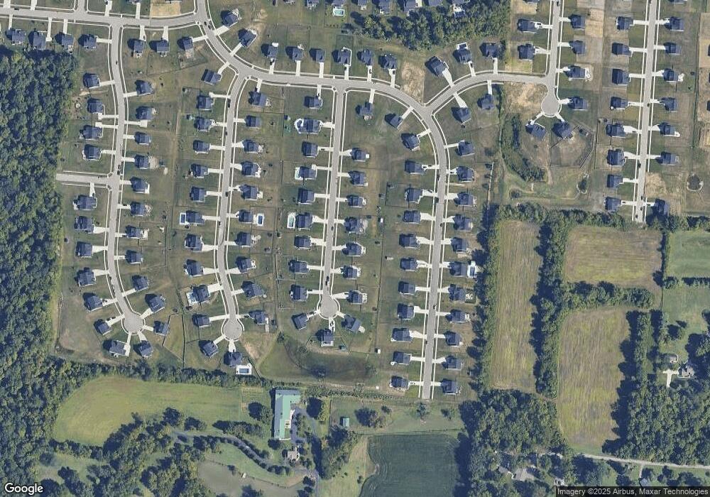
Map
Nearby Homes
- 5798 Roden Park Dr
- 5051 Cavendish Dr
- 5905 Brunswick Ct
- 4961 Victoria Place
- 203 Shyla Ct
- 6035 Kyles Station Rd
- STRATTON Plan at Estates of Monroe Crossings
- VALE Plan at Estates of Monroe Crossings
- VANDERBURGH Plan at Estates of Monroe Crossings
- PARKETTE Plan at Estates of Monroe Crossings
- LYNDHURST Plan at Estates of Monroe Crossings
- BUCHANAN Plan at Estates of Monroe Crossings
- SHELBURN Plan at Estates of Monroe Crossings
- ALDEN Plan at Estates of Monroe Crossings
- BENNETT Plan at Estates of Monroe Crossings
- QUENTIN Plan at Estates of Monroe Crossings
- 4873 Mauds Hughes Rd
- 925 Morgan Dr
- 404 David Lee Ct
- 511 Shawn Dr
- 5124 Sandhurst Ct
- 5104 Sandhurst Ct
- 5094 Sandhurst Ct
- 5134 Sandhurst Ct
- 5817 Roden Park Dr
- 5827 Roden Park Dr
- 5807 Roden Park Dr
- 5837 Roden Park Dr
- 5117 Sandhurst Ct
- 5127 Sandhurst Ct
- 5107 Sandhurst Ct
- 5084 Sandhurst Ct
- 5797 Roden Park Dr
- 5137 Sandhurst Ct
- 5847 Roden Park Dr
- 5097 Sandhurst Ct
- 5144 Sandhurst Ct
- 5074 Sandhurst Ct
- 5087 Sandhurst Ct
- 5857 Roden Park Dr