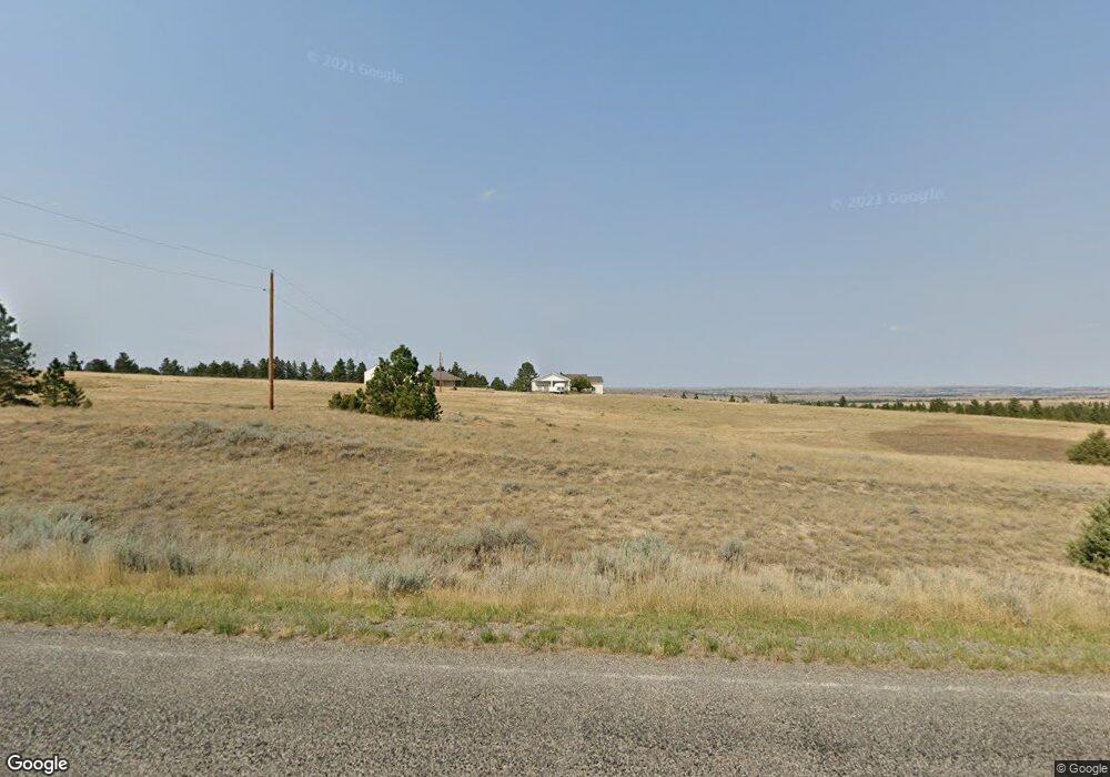
5115 Clapper Flat Rd Laurel, MT 59044
Estimated Value: $603,000 - $848,780
2
Beds
2
Baths
1,860
Sq Ft
$368/Sq Ft
Est. Value
About This Home
This home is located at 5115 Clapper Flat Rd, Laurel, MT 59044 and is currently estimated at $685,260, approximately $368 per square foot. 5115 Clapper Flat Rd is a home located in Yellowstone County with nearby schools including Fred W. Graff School, West School, and Laurel Middle School.
Ownership History
Date
Name
Owned For
Owner Type
Purchase Details
Closed on
Nov 27, 2017
Sold by
Boyle Neal D O and Burnham Bryn
Bought by
Dick Cody L and Dick Chelsea J
Current Estimated Value
Home Financials for this Owner
Home Financials are based on the most recent Mortgage that was taken out on this home.
Original Mortgage
$339,500
Outstanding Balance
$285,829
Interest Rate
3.94%
Mortgage Type
New Conventional
Estimated Equity
$399,431
Purchase Details
Closed on
Sep 20, 2006
Sold by
Kingsbury Sandra R and Kingsbury Philip B
Bought by
Burnham Bryn L and Oboyle Neal D
Home Financials for this Owner
Home Financials are based on the most recent Mortgage that was taken out on this home.
Original Mortgage
$223,600
Interest Rate
6.51%
Mortgage Type
New Conventional
Create a Home Valuation Report for This Property
The Home Valuation Report is an in-depth analysis detailing your home's value as well as a comparison with similar homes in the area
Purchase History
| Date | Buyer | Sale Price | Title Company |
|---|---|---|---|
| Dick Cody L | -- | American Title & Escrow | |
| Burnham Bryn L | -- | St |
Source: Public Records
Mortgage History
| Date | Status | Borrower | Loan Amount |
|---|---|---|---|
| Open | Dick Cody L | $339,500 | |
| Previous Owner | Burnham Bryn L | $223,600 |
Source: Public Records
Tax History
| Year | Tax Paid | Tax Assessment Tax Assessment Total Assessment is a certain percentage of the fair market value that is determined by local assessors to be the total taxable value of land and additions on the property. | Land | Improvement |
|---|---|---|---|---|
| 2025 | $3,393 | $620,939 | $68,589 | $552,350 |
| 2024 | $3,393 | $493,878 | $63,378 | $430,500 |
| 2023 | $3,366 | $493,878 | $63,378 | $430,500 |
| 2022 | $2,825 | $401,493 | $0 | $0 |
| 2021 | $2,676 | $377,563 | $0 | $0 |
| 2020 | $2,492 | $343,038 | $0 | $0 |
| 2019 | $2,389 | $343,038 | $0 | $0 |
| 2018 | $2,601 | $321,502 | $0 | $0 |
| 2017 | $1,936 | $286,092 | $0 | $0 |
| 2016 | $2,058 | $263,101 | $0 | $0 |
| 2015 | $1,928 | $263,101 | $0 | $0 |
| 2014 | $1,757 | $125,934 | $0 | $0 |
Source: Public Records
Map
Nearby Homes
- 3203 Chief Looking Glass Trl Rd
- 3103 Chief Looking Glass Rd
- 115 Red and King Gulch Rd
- 5930 Chief Buffalo Horn Trail
- TBD Coombs Flat Road - Lot 4
- TBD Coombs Flat Road - Lot 2
- TBD Coombs Flat Road - Lot 3
- TBD Coombs Flat Road - Lot 1
- TBD Lot 2 Lori Rae Ln
- TBD Lot 1 Lori Rae Ln
- 1712 Paynes Place
- 1960 Coyote Ridge Rd N
- TBD Wold Rd
- 00 Rocky Ridge Rd
- 3230 Rocky Ridge Rd
- 1735 Lobo Dr
- 1014 Rochelle Ln
- 2525 Buffalo Trail Rd
- 1013 W 12th St
- 1254 W Beartooth Dr
- 160 Acres Clapper Flat Rd
- 5065 Clapper Flat Rd
- 5140 Clapper Flat Rd
- 3355 Red and King Gulch Rd
- 5325 Clapper Flat Rd
- 5428 Clapper Flats Rd
- 5015 Clapper Flat Rd
- 5425 Clapper Flat Rd
- 3205 Red and King Gulch Rd
- 5428 Clapper Flat Rd
- 3120 Red and King Gulch Rd
- TBD Red and King Gulch
- 3133 Red and King Gulch Rd
- 3175 Red and King Gulch Rd
- 000 Chief Looking Glass Rd
- 3055 Red and King Gulch Rd
- 2950 Red and King Gulch Rd
- 3300 Chief Looking Glass Rd
- 3203 Chief Looking Glass Rd
- 4646 Clapper Flat Rd
Your Personal Tour Guide
Ask me questions while you tour the home.