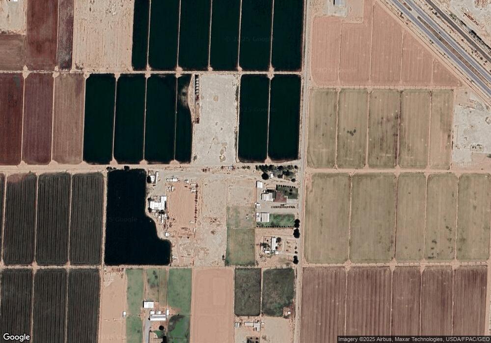
5117 E Warren Rd Carlsbad, NM 88220
Estimated Value: $241,000 - $315,014
5
Beds
3
Baths
2,914
Sq Ft
$99/Sq Ft
Est. Value
About This Home
This home is located at 5117 E Warren Rd, Carlsbad, NM 88220 and is currently estimated at $287,754, approximately $98 per square foot. 5117 E Warren Rd is a home located in Eddy County with nearby schools including Desert Willow Elementary School, Carlsbad Intermediate School - PR Leyva Campus, and Carlsbad High School.
Ownership History
Date
Name
Owned For
Owner Type
Purchase Details
Closed on
Nov 13, 2024
Sold by
Fuller Milton Lawrence and Fuller Milton L
Bought by
Fuller Mendez Katherine and Fuller Elizabeth Amy
Current Estimated Value
Purchase Details
Closed on
Jul 18, 2016
Sold by
Schneider Thomas Carl and Schneider Sylvia Ann Hewett
Bought by
Martin Nina N
Purchase Details
Closed on
Jun 26, 2009
Sold by
Bowen Kraig A and Bowen Dawn L
Bought by
Schneider Thomas Carl and Schneider Sylvia Ann Hewett
Home Financials for this Owner
Home Financials are based on the most recent Mortgage that was taken out on this home.
Original Mortgage
$173,655
Interest Rate
4.97%
Mortgage Type
VA
Create a Home Valuation Report for This Property
The Home Valuation Report is an in-depth analysis detailing your home's value as well as a comparison with similar homes in the area
Home Values in the Area
Average Home Value in this Area
Purchase History
| Date | Buyer | Sale Price | Title Company |
|---|---|---|---|
| Fuller Mendez Katherine | -- | None Listed On Document | |
| Martin Nina N | -- | None Available | |
| Schneider Thomas Carl | -- | None Available |
Source: Public Records
Mortgage History
| Date | Status | Borrower | Loan Amount |
|---|---|---|---|
| Previous Owner | Schneider Thomas Carl | $173,655 |
Source: Public Records
Tax History Compared to Growth
Tax History
| Year | Tax Paid | Tax Assessment Tax Assessment Total Assessment is a certain percentage of the fair market value that is determined by local assessors to be the total taxable value of land and additions on the property. | Land | Improvement |
|---|---|---|---|---|
| 2025 | $1,098 | $58,094 | $2,602 | $55,492 |
| 2024 | $1,098 | $56,402 | $2,602 | $53,800 |
| 2023 | $1,098 | $57,876 | $2,602 | $55,274 |
| 2022 | $1,134 | $58,552 | $2,602 | $55,950 |
| 2021 | $1,094 | $56,846 | $2,602 | $54,244 |
| 2020 | $1,100 | $56,553 | $2,602 | $53,951 |
| 2019 | $1,086 | $54,906 | $2,602 | $52,304 |
| 2018 | $1,103 | $56,197 | $2,602 | $53,595 |
| 2017 | $1,148 | $56,842 | $2,602 | $54,240 |
| 2015 | $1,225 | $0 | $0 | $0 |
| 2014 | $1,089 | $0 | $0 | $0 |
Source: Public Records
Map
Nearby Homes
- 1510 Papershell Rd
- 1000 E Derrick Rd
- E of 5508 Avitia
- 6015 Grandi Rd
- 5504 S Thomason Rd
- 1601 Cottontop Rd
- 4407 S Thomason Rd
- 4029 E Derrick Rd
- 1028 Murray Dr
- 1024 Malibu Way
- E of 503 Seneca Ln
- 3808 N Pat Garrett Rd
- 3806 N Pat Garrett Rd
- 3804 N Pat Garrett Rd
- 3802 N Pat Garrett Rd
- 3800 N Pat Garrett Rd
- 1618 Skyline Dr
- 1610 Skyline Dr
- 3730 N Pat Garrett Rd
- 3810 Agave Dr
- 5123 E Warren Rd
- 5119 E Warren Rd
- 2220 Hepler Rd
- 5201 E Warren Rd
- 000 Pecos Hwy
- 2202 Smedley Rd
- 2128 Smedley Rd
- 300 Smedley Rd
- 2116 Smedley Rd
- 2420 Bannister Rd
- 2404 Smedley Rd
- 5008 Bannister Rd
- 5006 Bannister Rd
- 2422 Hepler Rd
- 2414 Smedley Rd
- 2428 Bannister Rd
- 2419 Smedley Rd
- TBD Pecos Hwy
- 2502 Bannister Rd
- 2430 Hepler Rd
