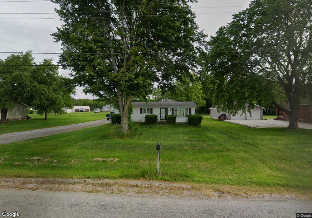
5119 Delematre Rd Monroeville, OH 44847
Estimated Value: $112,000 - $182,000
3
Beds
1
Bath
1,416
Sq Ft
$104/Sq Ft
Est. Value
About This Home
This home is located at 5119 Delematre Rd, Monroeville, OH 44847 and is currently estimated at $147,326, approximately $104 per square foot. 5119 Delematre Rd is a home located in Erie County with nearby schools including Monroeville Elementary School and Monroeville High School.
Ownership History
Date
Name
Owned For
Owner Type
Purchase Details
Closed on
Aug 9, 2021
Sold by
Koch Richard Eugene and Koch Julia Ann
Bought by
Carbaugh Zachary A
Current Estimated Value
Home Financials for this Owner
Home Financials are based on the most recent Mortgage that was taken out on this home.
Original Mortgage
$97,000
Outstanding Balance
$88,335
Interest Rate
3%
Mortgage Type
New Conventional
Estimated Equity
$58,991
Purchase Details
Closed on
Jan 1, 1987
Bought by
Koch Richard E and Koch Juliaann
Create a Home Valuation Report for This Property
The Home Valuation Report is an in-depth analysis detailing your home's value as well as a comparison with similar homes in the area
Purchase History
| Date | Buyer | Sale Price | Title Company |
|---|---|---|---|
| Carbaugh Zachary A | $100,000 | None Available | |
| Koch Richard E | -- | -- |
Source: Public Records
Mortgage History
| Date | Status | Borrower | Loan Amount |
|---|---|---|---|
| Open | Carbaugh Zachary A | $97,000 |
Source: Public Records
Tax History
| Year | Tax Paid | Tax Assessment Tax Assessment Total Assessment is a certain percentage of the fair market value that is determined by local assessors to be the total taxable value of land and additions on the property. | Land | Improvement |
|---|---|---|---|---|
| 2024 | $1,353 | $35,140 | $4,431 | $30,709 |
| 2023 | $1,358 | $26,589 | $4,112 | $22,477 |
| 2022 | $1,170 | $26,582 | $4,112 | $22,470 |
| 2021 | $1,110 | $26,580 | $4,110 | $22,470 |
| 2020 | $972 | $22,650 | $4,110 | $18,540 |
| 2019 | $1,004 | $22,650 | $4,110 | $18,540 |
| 2018 | $1,005 | $22,650 | $4,110 | $18,540 |
| 2017 | $1,006 | $22,760 | $4,110 | $18,650 |
| 2016 | $994 | $22,760 | $4,110 | $18,650 |
| 2015 | $994 | $22,760 | $4,110 | $18,650 |
| 2014 | $866 | $22,760 | $4,110 | $18,650 |
| 2013 | $914 | $22,760 | $4,110 | $18,650 |
Source: Public Records
Map
Nearby Homes
- 2 Eagle View Dr
- 117 North St
- 101 North St
- 113 North St
- 17 Hollister St
- 9 Herrick Aly
- 40 Monroe St
- 15 Jackson St
- 12714 US Highway 250 N
- 9039 Milan
- 0 Millwood Lots 1 & 2 Unit 20253437
- 65 Grassland Cir
- 8802 Mason Rd
- 18 Lockwood Rd
- 0 S Center St
- 102 S Center St
- 128 S Center St
- 11 Deer Track Trail Unit A
- 13704 Riley Rd
- 93 Elm St
- 5115 Delematre Rd
- 5207 Delematre Rd
- 5209 Delematre Rd
- 5205 Delematre Rd
- 5213 Delematre Rd
- 5108 Delematre Rd
- 4919 Delematre Rd
- 4919 Delematre Rd
- 5219 Delematre Rd
- 4913 Delematre Rd
- 5215 Delematre Rd
- 4911 Delematre Rd
- 5006 Delematre Rd
- 4907 Delematre Rd
- 5303 Delematre Rd
- 4916 Delematre Rd
- 4912 Delematre Rd
- 5307 Delematre Rd
- 5411 Delamatre
- 4901 Delematre Rd
Your Personal Tour Guide
Ask me questions while you tour the home.