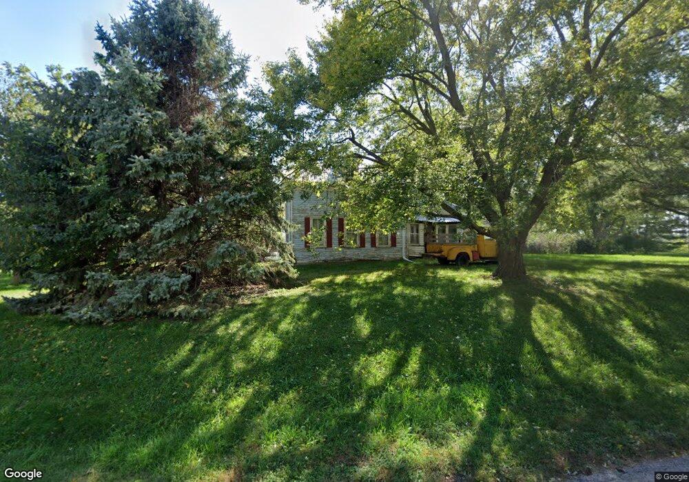
512 3rd St Magnolia, IA 51550
Estimated Value: $55,782 - $168,000
2
Beds
1
Bath
2,280
Sq Ft
$50/Sq Ft
Est. Value
About This Home
This home is located at 512 3rd St, Magnolia, IA 51550 and is currently estimated at $113,446, approximately $49 per square foot. 512 3rd St is a home located in Harrison County with nearby schools including Logan-Magnolia Elementary School and Logan-Magnolia Junior/Senior High School.
Ownership History
Date
Name
Owned For
Owner Type
Purchase Details
Closed on
May 11, 2021
Sold by
Hoover James E
Bought by
Hoover Robert W
Current Estimated Value
Purchase Details
Closed on
Jul 12, 2019
Sold by
Kelley Ronda
Bought by
Hoover James E
Purchase Details
Closed on
May 2, 2008
Sold by
Jacobsen Dorothen
Bought by
Hoover James E and Hoover Rondu Kelley
Home Financials for this Owner
Home Financials are based on the most recent Mortgage that was taken out on this home.
Original Mortgage
$40,000
Interest Rate
6.04%
Mortgage Type
Future Advance Clause Open End Mortgage
Create a Home Valuation Report for This Property
The Home Valuation Report is an in-depth analysis detailing your home's value as well as a comparison with similar homes in the area
Home Values in the Area
Average Home Value in this Area
Purchase History
| Date | Buyer | Sale Price | Title Company |
|---|---|---|---|
| Hoover Robert W | -- | None Available | |
| Hoover James E | -- | -- | |
| Hoover James E | $50,000 | None Available |
Source: Public Records
Mortgage History
| Date | Status | Borrower | Loan Amount |
|---|---|---|---|
| Previous Owner | Hoover James E | $40,000 |
Source: Public Records
Tax History Compared to Growth
Tax History
| Year | Tax Paid | Tax Assessment Tax Assessment Total Assessment is a certain percentage of the fair market value that is determined by local assessors to be the total taxable value of land and additions on the property. | Land | Improvement |
|---|---|---|---|---|
| 2025 | $274 | $35,320 | $5,950 | $29,370 |
| 2024 | $274 | $35,070 | $5,950 | $29,120 |
| 2023 | $270 | $35,070 | $5,950 | $29,120 |
| 2022 | $250 | $25,948 | $5,950 | $19,998 |
| 2021 | $250 | $26,036 | $6,038 | $19,998 |
| 2020 | $208 | $23,857 | $6,038 | $17,819 |
| 2019 | $822 | $23,857 | $6,038 | $17,819 |
| 2018 | $802 | $55,743 | $0 | $0 |
| 2017 | $802 | $55,244 | $0 | $0 |
| 2016 | $830 | $55,244 | $0 | $0 |
| 2015 | $830 | $49,769 | $0 | $0 |
| 2014 | $710 | $49,769 | $0 | $0 |
Source: Public Records
Map
Nearby Homes
- 1986 Jasper Trail
- 2364 Loess Hills Trail
- 2144 Norton Ave
- 1934 193rd Ln
- 1872 Hillside Ave
- 1737 Ithaca Ave
- 1010 Skyline Dr
- 124 Glen Ave
- 114 E 10th St
- 2484 280th St
- LOT 17 Lmvcc Estates
- Lot 17 Lmvcc Estates Trail
- LOT 20 Lmvcc Estates
- Lot 18 Mulligan Trail
- LOT 27 Mulligan Trail
- LOT 15 Mulligan Trail
- LOT 26 Lmvcc Estates
- 0 Iowa 183
- 2464 Mulligan Trail
- 2242 290th St