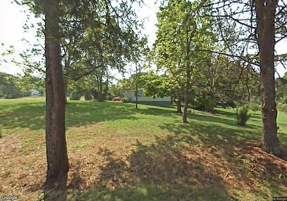
512 Benton Cir Knoxville, TN 37920
Estimated Value: $104,000 - $221,000
2
Beds
1
Bath
1,214
Sq Ft
$143/Sq Ft
Est. Value
About This Home
This home is located at 512 Benton Cir, Knoxville, TN 37920 and is currently estimated at $173,516, approximately $142 per square foot. 512 Benton Cir is a home located in Knox County with nearby schools including New Hopewell Elementary School, South Doyle Middle School, and South Doyle High School.
Ownership History
Date
Name
Owned For
Owner Type
Purchase Details
Closed on
Aug 19, 2013
Sold by
Wilder Joey
Bought by
Cardwell Donna C
Current Estimated Value
Purchase Details
Closed on
May 27, 2011
Sold by
Harris Stephen E and Harris Jessica E
Bought by
Wilder Jerry
Purchase Details
Closed on
Aug 19, 2002
Sold by
Monday Michael Dean and Monday Lisa Ann
Bought by
Harris Stephen E and Harris Jessica E
Home Financials for this Owner
Home Financials are based on the most recent Mortgage that was taken out on this home.
Original Mortgage
$40,000
Interest Rate
6.01%
Create a Home Valuation Report for This Property
The Home Valuation Report is an in-depth analysis detailing your home's value as well as a comparison with similar homes in the area
Home Values in the Area
Average Home Value in this Area
Purchase History
| Date | Buyer | Sale Price | Title Company |
|---|---|---|---|
| Cardwell Donna C | -- | Knoxville Title Agency | |
| Wilder Jerry | $44,000 | None Available | |
| Harris Stephen E | $40,000 | -- |
Source: Public Records
Mortgage History
| Date | Status | Borrower | Loan Amount |
|---|---|---|---|
| Previous Owner | Harris Stephen E | $40,000 |
Source: Public Records
Tax History Compared to Growth
Tax History
| Year | Tax Paid | Tax Assessment Tax Assessment Total Assessment is a certain percentage of the fair market value that is determined by local assessors to be the total taxable value of land and additions on the property. | Land | Improvement |
|---|---|---|---|---|
| 2025 | $394 | $25,350 | $0 | $0 |
| 2024 | $394 | $25,350 | $0 | $0 |
| 2023 | $394 | $25,350 | $0 | $0 |
| 2022 | $394 | $25,350 | $0 | $0 |
| 2021 | $261 | $12,325 | $0 | $0 |
| 2020 | $261 | $12,325 | $0 | $0 |
| 2019 | $261 | $12,325 | $0 | $0 |
| 2018 | $261 | $12,325 | $0 | $0 |
| 2017 | $261 | $12,325 | $0 | $0 |
| 2016 | $247 | $0 | $0 | $0 |
| 2015 | $247 | $0 | $0 | $0 |
| 2014 | $247 | $0 | $0 | $0 |
Source: Public Records
Map
Nearby Homes
- 8704 Chapman Trace Way
- 8706 Chapman Trace Way
- 8708 Chapman Trace Way
- 8710 Chapman Trace Way
- 912 E Hendron Chapel Rd
- 8625 Sams Ln
- 8823 Chapman Trace Way
- 8825 Chapman Trace Way
- 8827 Chapman Trace Way
- 8836 Chapman Trace Way
- 8838 Chapman Trace Way
- 8840 Chapman Trace Way
- 8846 Chapman Trace Way
- 8848 Chapman Trace Way
- 8845 Chapman Trace Way
- 8847 Chapman Trace Way
- 8852 Chapman Trace Way
- 8849 Chapman Trace Way
- The Marigold Plan at Chapman Trace
- The Lily Plan at Chapman Trace
- 434 Benton Cir
- 505 Benton Cir
- 407 Bays Mountain Rd
- 411 Bays Mountain Rd
- 509 Benton Cir
- 521 Benton Cir
- 401 Bays Mountain Rd
- 513 Benton Cir
- 8639 Widener Rd
- 499 Benton Cir
- 410 Bays Mountain Rd
- 404 Bays Mountain Rd
- 503 Dry Hollow Rd
- 321 Bays Mountain Rd
- 400 Bays Mountain Rd
- 332 Bays Mountain Rd
- 510 Bays Mountain Rd
- 500 Dry Hollow Rd
- 514 Bays Mountain Rd
- 504 Dry Hollow Rd
