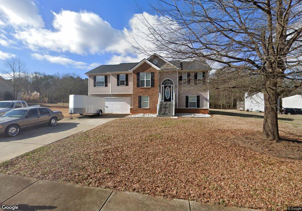
512 Bryson Trail Monroe, GA 30655
Estimated Value: $320,000 - $345,000
--
Bed
--
Bath
1,688
Sq Ft
$199/Sq Ft
Est. Value
About This Home
This home is located at 512 Bryson Trail, Monroe, GA 30655 and is currently estimated at $336,576, approximately $199 per square foot. 512 Bryson Trail is a home located in Walton County with nearby schools including Harmony Elementary School, Carver Middle School, and Monroe Area High School.
Ownership History
Date
Name
Owned For
Owner Type
Purchase Details
Closed on
Mar 31, 2017
Sold by
Stella Charran
Bought by
Steelman Kristi Dawn
Current Estimated Value
Home Financials for this Owner
Home Financials are based on the most recent Mortgage that was taken out on this home.
Original Mortgage
$142,274
Outstanding Balance
$118,035
Interest Rate
4.1%
Mortgage Type
FHA
Estimated Equity
$218,541
Purchase Details
Closed on
Dec 4, 2006
Sold by
Darrell Flanigan Prop Inc
Bought by
Charran Stella
Home Financials for this Owner
Home Financials are based on the most recent Mortgage that was taken out on this home.
Original Mortgage
$128,720
Interest Rate
6.36%
Mortgage Type
New Conventional
Create a Home Valuation Report for This Property
The Home Valuation Report is an in-depth analysis detailing your home's value as well as a comparison with similar homes in the area
Home Values in the Area
Average Home Value in this Area
Purchase History
| Date | Buyer | Sale Price | Title Company |
|---|---|---|---|
| Steelman Kristi Dawn | $144,900 | -- | |
| Charran Stella | $160,900 | -- |
Source: Public Records
Mortgage History
| Date | Status | Borrower | Loan Amount |
|---|---|---|---|
| Open | Steelman Kristi Dawn | $142,274 | |
| Previous Owner | Charran Stella | $128,720 |
Source: Public Records
Tax History Compared to Growth
Tax History
| Year | Tax Paid | Tax Assessment Tax Assessment Total Assessment is a certain percentage of the fair market value that is determined by local assessors to be the total taxable value of land and additions on the property. | Land | Improvement |
|---|---|---|---|---|
| 2024 | $3,672 | $122,520 | $20,800 | $101,720 |
| 2023 | $3,575 | $115,880 | $20,000 | $95,880 |
| 2022 | $3,140 | $97,400 | $14,400 | $83,000 |
| 2021 | $2,175 | $64,920 | $11,200 | $53,720 |
| 2020 | $1,966 | $57,040 | $10,000 | $47,040 |
| 2019 | $1,883 | $52,800 | $10,000 | $42,800 |
| 2018 | $1,816 | $52,800 | $10,000 | $42,800 |
| 2017 | $1,745 | $50,640 | $10,000 | $40,640 |
| 2016 | $1,503 | $42,800 | $6,000 | $36,800 |
| 2015 | $1,400 | $39,120 | $6,000 | $33,120 |
| 2014 | $1,356 | $36,920 | $6,000 | $30,920 |
Source: Public Records
Map
Nearby Homes
- 1080 Laboon Rd
- 1753 Old Monroe Madison Hwy
- 809 Laboon Rd
- 257 Clearwater Dr
- 1688 Deer Creek Ln
- 1649 Deer Creek Ln
- 625 Springwood Trail
- 1013 Navaho Trail
- 1605 Deer Creek Ln
- 1200 Magnolia Ridge
- 592 Gene Bell Rd NE
- 574 Gene Bell Rd NE
- 1726 Georgia 83
- 213 Sinclair Way
- 1628 Brook Ln
- 710 Poplar St
- 3510 Windfield Terrace
- 482 Gene Bell Rd NE
- 462 Gene Bell Rd NE
- 2021 Windfield Dr
- 512 Bryson Trail Unit 92
- 704 Klossner Ct
- 508 Bryson Trail
- 508 Bryson Trail Unit 93
- 513 Bryson Trail
- 708 Klossner Ct
- 509 Bryson Trail
- 504 Bryson Trail
- 712 Klossner Ct
- 505 Bryson Trail Unit 2
- 505 Bryson Trail
- 500 Bryson Trail
- 432 Brookshire Dr
- 432 Brookshire Dr Unit 9
- 520 Bryson Trail
- 501 Bryson Trail
- 433 Brookshire Dr
- 1360 Peters Cemetary Rd
- 716 Klossner Ct
- 524 Bryson Trail