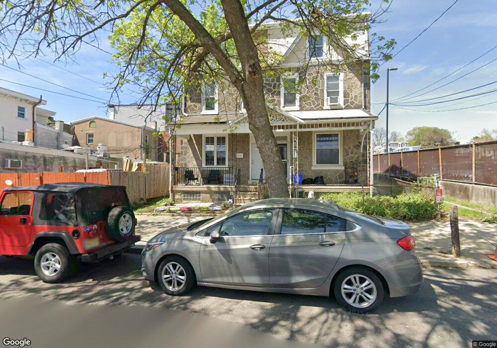
512 Dupont St Philadelphia, PA 19128
Roxborough NeighborhoodEstimated Value: $398,227 - $498,000
5
Beds
2
Baths
1,896
Sq Ft
$236/Sq Ft
Est. Value
About This Home
This home is located at 512 Dupont St, Philadelphia, PA 19128 and is currently estimated at $446,807, approximately $235 per square foot. 512 Dupont St is a home located in Philadelphia County with nearby schools including Shawmont School, Roxborough High School, and Holy Child School.
Ownership History
Date
Name
Owned For
Owner Type
Purchase Details
Closed on
Jun 15, 2016
Sold by
Ceperley Karen N
Bought by
Nichols Karen N
Current Estimated Value
Home Financials for this Owner
Home Financials are based on the most recent Mortgage that was taken out on this home.
Original Mortgage
$222,558
Interest Rate
3.87%
Mortgage Type
FHA
Purchase Details
Closed on
Jul 10, 2008
Sold by
Ceperley James F and Ceperley Karen N
Bought by
Ceperley Karen N
Create a Home Valuation Report for This Property
The Home Valuation Report is an in-depth analysis detailing your home's value as well as a comparison with similar homes in the area
Home Values in the Area
Average Home Value in this Area
Purchase History
| Date | Buyer | Sale Price | Title Company |
|---|---|---|---|
| Nichols Karen N | -- | None Available | |
| Ceperley Karen N | -- | None Available |
Source: Public Records
Mortgage History
| Date | Status | Borrower | Loan Amount |
|---|---|---|---|
| Previous Owner | Nichols Karen N | $222,558 |
Source: Public Records
Tax History Compared to Growth
Tax History
| Year | Tax Paid | Tax Assessment Tax Assessment Total Assessment is a certain percentage of the fair market value that is determined by local assessors to be the total taxable value of land and additions on the property. | Land | Improvement |
|---|---|---|---|---|
| 2025 | $3,975 | $348,800 | $69,760 | $279,040 |
| 2024 | $3,975 | $348,800 | $69,760 | $279,040 |
| 2023 | $3,975 | $284,000 | $56,800 | $227,200 |
| 2022 | $3,841 | $284,000 | $56,800 | $227,200 |
| 2021 | $3,841 | $0 | $0 | $0 |
| 2020 | $3,841 | $0 | $0 | $0 |
| 2019 | $3,707 | $0 | $0 | $0 |
| 2018 | $2,847 | $0 | $0 | $0 |
| 2017 | $2,847 | $0 | $0 | $0 |
| 2016 | $2,847 | $0 | $0 | $0 |
| 2015 | $2,726 | $0 | $0 | $0 |
| 2014 | -- | $203,400 | $30,106 | $173,294 |
| 2012 | -- | $23,936 | $3,356 | $20,580 |
Source: Public Records
Map
Nearby Homes
- 517 Conarroe St
- 6106 Ridge Ave
- 545 Green Ln
- 451 Green Ln
- 481 Conarroe St
- 452 Green Ln
- 4531 Mitchell St
- 468 Leverington Ave
- 472 Lyceum Ave
- 444 Dupont St
- 4538 Mitchell St
- 603 Green Ln
- 485 Ripka St
- 4448 Mitchell St
- 434-36 Conarroe St
- 438 1/2 Leverington Ave
- 6232 Ridge Ave
- 450 Ripka St
- 407 Conarroe St
- 432 Martin St
- 510 Dupont St Unit A
- 510 Dupont St
- 6147 Ridge Ave
- 6139 Ridge Ave
- 6145 Ridge Ave
- 6153 Ridge Ave
- 6151 Ridge Ave
- 6133 Ridge Ave
- 6155 Ridge Ave Unit A
- 6155 Ridge Ave Unit 308
- 6155 Ridge Ave Unit 307
- 6155 Ridge Ave Unit 202
- 6155 Ridge Ave Unit 207
- 6155 Ridge Ave Unit 205
- 6155 Ridge Ave Unit 201
- 6155 Ridge Ave Unit 204
- 519 Dupont St
- 6131 Ridge Ave
- 508 Green Ln
- 6125-37 Ridge Ave