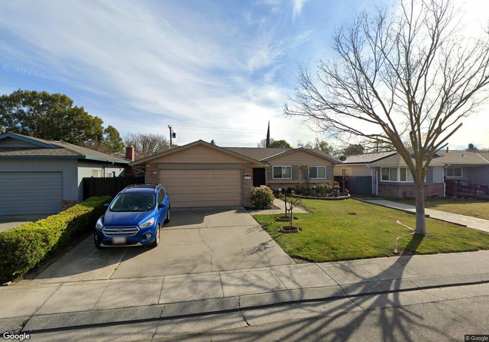
512 Edan Ave Stockton, CA 95207
Lincoln Village NeighborhoodEstimated Value: $408,792 - $445,000
4
Beds
2
Baths
1,652
Sq Ft
$253/Sq Ft
Est. Value
About This Home
This home is located at 512 Edan Ave, Stockton, CA 95207 and is currently estimated at $418,698, approximately $253 per square foot. 512 Edan Ave is a home located in San Joaquin County with nearby schools including Adams Elementary School, Pulliam Elementary School, and Maxine Hong Kingston Elementary School.
Ownership History
Date
Name
Owned For
Owner Type
Purchase Details
Closed on
Aug 2, 2016
Sold by
Trotter Joan L
Bought by
Trotter Joan L and Joan L Trotter Family Trust
Current Estimated Value
Purchase Details
Closed on
Aug 13, 2003
Sold by
Trotter Joan L and Henderson Joan
Bought by
Trotter Joan L
Home Financials for this Owner
Home Financials are based on the most recent Mortgage that was taken out on this home.
Original Mortgage
$100,000
Interest Rate
5.29%
Mortgage Type
Credit Line Revolving
Create a Home Valuation Report for This Property
The Home Valuation Report is an in-depth analysis detailing your home's value as well as a comparison with similar homes in the area
Home Values in the Area
Average Home Value in this Area
Purchase History
| Date | Buyer | Sale Price | Title Company |
|---|---|---|---|
| Trotter Joan L | -- | None Available | |
| Trotter Joan L | -- | First Amer Title Co |
Source: Public Records
Mortgage History
| Date | Status | Borrower | Loan Amount |
|---|---|---|---|
| Closed | Trotter Joan L | $100,000 |
Source: Public Records
Tax History
| Year | Tax Paid | Tax Assessment Tax Assessment Total Assessment is a certain percentage of the fair market value that is determined by local assessors to be the total taxable value of land and additions on the property. | Land | Improvement |
|---|---|---|---|---|
| 2025 | $1,144 | $95,534 | $18,382 | $77,152 |
| 2024 | $1,124 | $93,662 | $18,022 | $75,640 |
| 2023 | $1,097 | $91,826 | $17,669 | $74,157 |
| 2022 | $1,056 | $90,026 | $17,323 | $72,703 |
| 2021 | $1,014 | $88,262 | $16,984 | $71,278 |
| 2020 | $1,032 | $87,358 | $16,810 | $70,548 |
| 2019 | $1,026 | $85,646 | $16,481 | $69,165 |
| 2018 | $1,005 | $83,967 | $16,158 | $67,809 |
| 2017 | $951 | $82,322 | $15,842 | $66,480 |
| 2016 | $966 | $80,707 | $15,531 | $65,176 |
| 2015 | $964 | $79,496 | $15,298 | $64,198 |
| 2014 | $918 | $77,938 | $14,998 | $62,940 |
Source: Public Records
Map
Nearby Homes
- 204 Edan Ave Unit 7
- 334 Alturas Ave
- 518 W Lincoln Rd
- 203 Leslie Ave
- 108 Marilyn Ave
- 130 W Loretta Ave
- 136 E Lincoln Rd
- 6905 N El Dorado St
- 1012 Leaf Ave
- 44 W La Mesa Ave
- 8048 N El Dorado St
- 1077 Rivara Rd Unit 102
- 1077 Rivara Rd Unit 215
- 1077 Rivara Rd Unit 104
- 1006 W Benjamin Holt Dr
- 7941 Diana Marie Dr
- 453 453 Jill Cir
- 352 Jill Cir
- 6111 N Alturas Ave
- 8160 Encino Ave
Your Personal Tour Guide
Ask me questions while you tour the home.