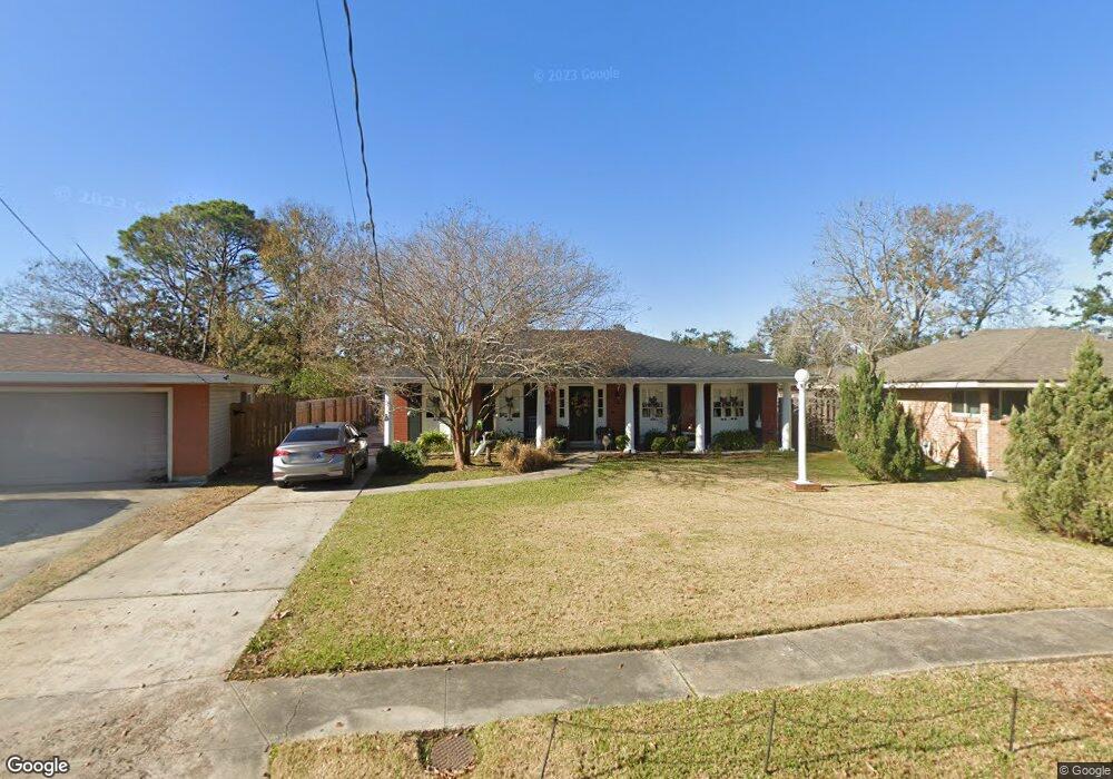
512 Gordon Ave New Orleans, LA 70123
Estimated Value: $246,949 - $335,000
3
Beds
2
Baths
1,796
Sq Ft
$174/Sq Ft
Est. Value
About This Home
This home is located at 512 Gordon Ave, New Orleans, LA 70123 and is currently estimated at $312,737, approximately $174 per square foot. 512 Gordon Ave is a home located in Jefferson Parish with nearby schools including Harahan Elementary School, Airline Park Academy For Advanced Studies, and Greenfield Middle School.
Ownership History
Date
Name
Owned For
Owner Type
Purchase Details
Closed on
Sep 22, 2008
Sold by
Galiano James B
Bought by
Galiano Jane G
Current Estimated Value
Home Financials for this Owner
Home Financials are based on the most recent Mortgage that was taken out on this home.
Original Mortgage
$35,500
Outstanding Balance
$23,708
Interest Rate
6.52%
Mortgage Type
Unknown
Estimated Equity
$289,029
Create a Home Valuation Report for This Property
The Home Valuation Report is an in-depth analysis detailing your home's value as well as a comparison with similar homes in the area
Home Values in the Area
Average Home Value in this Area
Purchase History
| Date | Buyer | Sale Price | Title Company |
|---|---|---|---|
| Galiano Jane G | $150,000 | -- |
Source: Public Records
Mortgage History
| Date | Status | Borrower | Loan Amount |
|---|---|---|---|
| Open | Galiano Jane G | $35,500 | |
| Open | Galiano Jane G | $114,500 |
Source: Public Records
Tax History Compared to Growth
Tax History
| Year | Tax Paid | Tax Assessment Tax Assessment Total Assessment is a certain percentage of the fair market value that is determined by local assessors to be the total taxable value of land and additions on the property. | Land | Improvement |
|---|---|---|---|---|
| 2024 | $3,742 | $14,870 | $2,100 | $12,770 |
| 2023 | $1,010 | $14,870 | $2,100 | $12,770 |
| 2022 | $1,599 | $14,870 | $2,100 | $12,770 |
| 2021 | $1,494 | $14,870 | $2,100 | $12,770 |
| 2020 | $1,482 | $14,870 | $2,100 | $12,770 |
| 2019 | $1,509 | $14,870 | $2,100 | $12,770 |
| 2018 | $488 | $14,870 | $2,100 | $12,770 |
| 2017 | $1,271 | $14,870 | $2,100 | $12,770 |
| 2016 | $1,266 | $14,870 | $2,100 | $12,770 |
| 2015 | $494 | $14,870 | $2,100 | $12,770 |
| 2014 | $494 | $14,870 | $2,100 | $12,770 |
Source: Public Records
Map
Nearby Homes
- 471 Roseland Pkwy
- 447 Roseland Pkwy
- 551 Grove Ave
- 420 Roseland Pkwy
- 509 Kenmore Dr
- 7501 Wilson St
- 439 West Ave
- 334-336 Oak Ave
- 560 Oak Ave
- 367 Carolyn Dr
- 362 West Ave
- 350 Carolyn Dr
- 333 Roseland Pkwy
- 342 Oak Ave
- 412 Stratford Dr
- 631 Stratford Dr
- 0 Colonial Club Dr
- 98 Colonial Club Dr
- 700 Gordon Ave
- 258 East Ave
- 516 Gordon Ave
- 515 Roseland Pkwy
- 504 Gordon Ave
- 519 Roseland Pkwy
- 513 Gordon Ave
- 509 Roseland Pkwy
- 526 Gordon Ave
- 502 Gordon Ave
- 519 Gordon Ave
- 507 Roseland Pkwy
- 7103 Wilson St
- 523 Roseland Pkwy
- 529 Gordon Ave
- 505 Roseland Pkwy
- 7125 Wilson St
- 529 Roseland Pkwy
- 532 Gordon Ave
- 531 Gordon Ave
- 7019 Wilson St
- 503 Roseland Pkwy